2020s Maps of Canaan, Vermont
Explore 12 historic maps of Canaan from the 2020s. These maps offer a rare glimpse into what life looked like during the 2020s — showing old roads, neighborhoods, homes, and landmarks that have changed or disappeared over time.
Whether you're researching your family's past, planning a metal detecting trip, or studying how Canaan's landscape evolved across the 2020s, these high-resolution maps are a powerful tool for exploring the history of this region.
- Focus on a specific era: All maps on this page are from the 2020s, giving you a focused view of this time period.
- See what’s changed: Compare century-old streets, trails, and buildings to today's modern landscape using overlays and satellite layers.
- Research with precision: Use these maps for genealogy, historical research, land use analysis, or educational projects.
- View, download, or print: Maps are fully viewable online in high resolution, and can be downloaded or printed for your own records.
Start exploring Canaan's history through authentic maps from the 2020s. This is your window into the past.
Canaan, VT maps
(12)- 2021 Map of Lovering Mountain, 2021 Print
 2021 Lovering Mountain2021 Print · USGSCovers Canaan, including Colebrook, Stewartstown, and other nearby areas
 - 2021 Map of Averill, 2021 Print
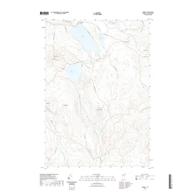 2021 Averill2021 Print · USGSCovers Canaan, including Bloomfield, Norton, and other nearby areas
 - 2021 Map of Monadnock Mountain OE N, 2021 Print
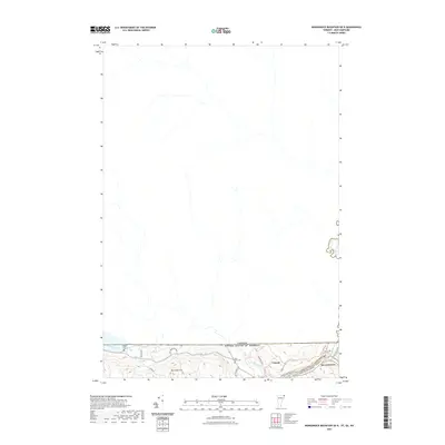 2021 Monadnock Mountain OE N2021 Print · USGSCovers Canaan, including Stewartstown, Pittsburg, and other nearby areas
 - 2021 Map of Averill OE N, 2021 Print
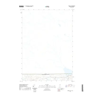 2021 Averill OE N2021 Print · USGSCovers Canaan, including Coaticook, Norton, and other nearby areas
 - 2021 Map of Monadnock Mountain, 2021 Print
 2021 Monadnock Mountain2021 Print · USGSCovers Canaan, including Colebrook, Stewartstown, and other nearby areas
 - 2021 Map of Pittsburg, 2021 Print
 2021 Pittsburg2021 Print · USGSCovers Canaan, including Stewartstown, Pittsburg, and other nearby areas
 - 2024 Map of Lovering Mountain, 2024 Print
 2024 Lovering Mountain2024 Print · USGSUpper Coos County is revealed in this contemporary survey as a landscape of timbered hills and small riverfront settlements near the Vermont border. Genealogists can locate several family-named landmarks and rural burial sites, including the North Hill Cem, Stewartstown Hollow, and Reed Cem.
 - 2024 Map of Pittsburg, 2024 Print
 2024 Pittsburg2024 Print · USGSThe northern tip of New Hampshire meets the Vermont and Canadian borders in this modern survey of the Pittsburg region. Researchers can locate family landmarks like Indian Stream Cem, Young Cem, and the village of Beecher Falls.
 - 2024 Map of Averill OE N, 2024 Print
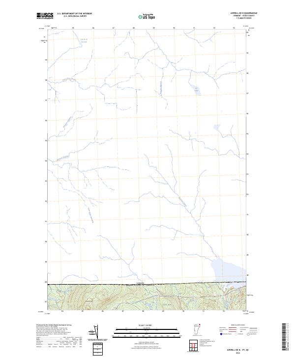 2024 Averill OE N2024 Print · USGSThe northern border of Vermont meets the Canadian frontier in this modern survey of the Essex County wilderness. Researchers can trace the rugged drainage patterns of Averill Mtn and Cole Hill or follow the waters of Lac Lippé and Black Brook.
 - 2024 Map of Averill, 2024 Print
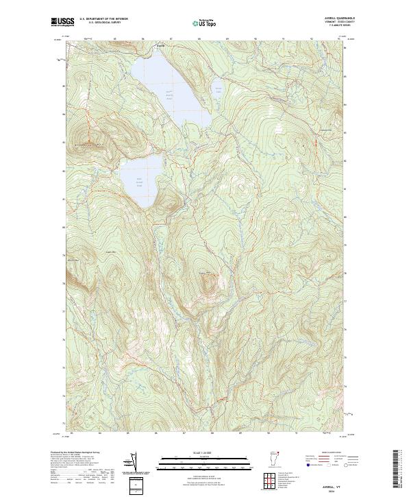 2024 Averill2024 Print · USGSVermont's Northeast Kingdom remains a landscape of deep timberlands and glacial waters in this contemporary study of the border country. Researchers can trace the remote hydrology of Great Averill Pond or follow the headwaters of the East Branch Nulhegan River.
 - 2024 Map of Monadnock Mountain OE N, 2024 Print
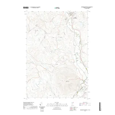
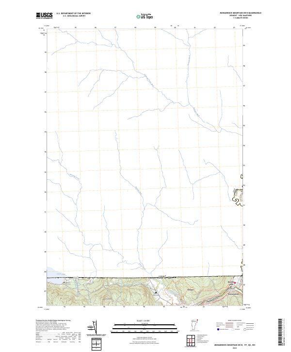 2024 Monadnock Mountain OE N2024 Print · USGSThe international borderlands of Vermont and New Hampshire meet here along the Canadian frontier in the modern era. Genealogists and local researchers can locate the Alice Hunt Cem, the rail history of the Upper Coos Recreational Rail Trl, and the village of Beecher Falls.
 - 2024 Map of Monadnock Mountain, 2024 Print
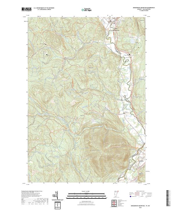 2024 Monadnock Mountain2024 Print · USGSThe Upper Connecticut River Valley comes alive in this survey of the Vermont and New Hampshire border. Genealogists can trace family roots through numerous burial sites like Old Canaan Hill Cem and South Canaan Church Cem, or locate landmarks such as Gifford Field.
End of results
Showing maps 1-12 of 12
Top cities near Canaan
- Colebrook historical maps
- Stewartstown historical maps
- Pittsburg historical maps
- Brighton historical maps
- Stratford historical maps
- Columbia historical maps
See more
Top neighborhoods of Canaan
Frequently asked questions
- What are the different types of historical maps available for Canaan?
- What is the oldest map of Canaan?
- Where can I purchase historical maps of Canaan for my home or office?
- Where can I download high-res historical maps of Canaan?
- Are there historical topographic maps available for Canaan?
- Is there historical aerial imagery available for Canaan?
- Where are historical maps of Canaan sourced from?