2020s Maps of Sheldon, Vermont
Explore 5 historic maps of Sheldon from the 2020s. These maps offer a rare glimpse into what life looked like during the 2020s — showing old roads, neighborhoods, homes, and landmarks that have changed or disappeared over time.
Whether you're researching your family's past, planning a metal detecting trip, or studying how Sheldon's landscape evolved across the 2020s, these high-resolution maps are a powerful tool for exploring the history of this region.
- Focus on a specific era: All maps on this page are from the 2020s, giving you a focused view of this time period.
- See what’s changed: Compare century-old streets, trails, and buildings to today's modern landscape using overlays and satellite layers.
- Research with precision: Use these maps for genealogy, historical research, land use analysis, or educational projects.
- View, download, or print: Maps are fully viewable online in high resolution, and can be downloaded or printed for your own records.
Start exploring Sheldon's history through authentic maps from the 2020s. This is your window into the past.
Sheldon, VT maps
(5)- 2024 Map of Enosburg Falls, 2024 Print
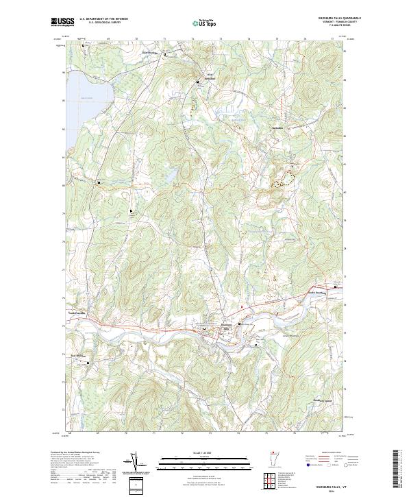 2024 Enosburg Falls2024 Print · USGSNorthern Vermont dairy country and the village of Enosburg Falls come into focus in this contemporary survey. Researchers can trace ancestral roots through several rural burial grounds like Stevens Ferry Cem or follow the path of the Missisquoi Valley Rail-Trail.
 - 2024 Map of Sheldon Springs, 2024 Print
 2024 Sheldon Springs2024 Print · USGSFranklin County's river-valley settlements and rural cemeteries are preserved here at the edge of the Green Mountains. Researchers can trace family sites at Sheldon Union Cem and Saint Marys Cem or follow the old rail corridor along the Missisquoi Valley Rail-Trl.
 - 2024 Map of Highgate Center, 2024 Print
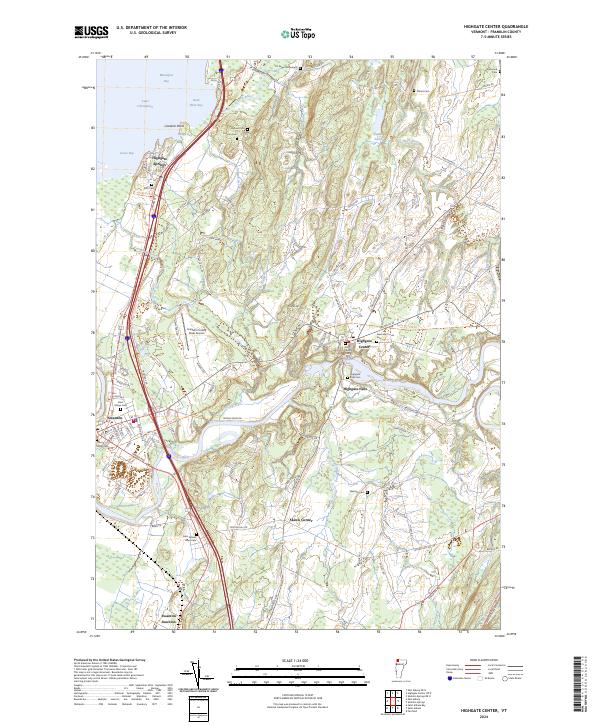 2024 Highgate Center2024 Print · USGSFranklin County, Vermont, shows its deep agricultural and river-centered roots in this contemporary survey of the Missisquoi Valley. Researchers can trace family history through numerous rural burial sites like Saint Marys Cem and Webster Cem, or explore the transit hubs of Swanton and Highgate Center.
 - 2024 Map of Bakersfield, 2024 Print
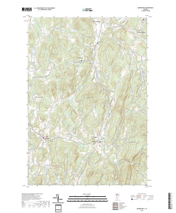 2024 Bakersfield2024 Print · USGSBakersfield and the surrounding highlands of Franklin County are shown here in recent detail, capturing a landscape of family-named ridges and valley hamlets. Genealogists can locate several local burial sites such as Saint Georges Cem and Bordoville Advent Cem, or trace the waters of The Branch.
 - 2024 Map of Fairfield, 2024 Print
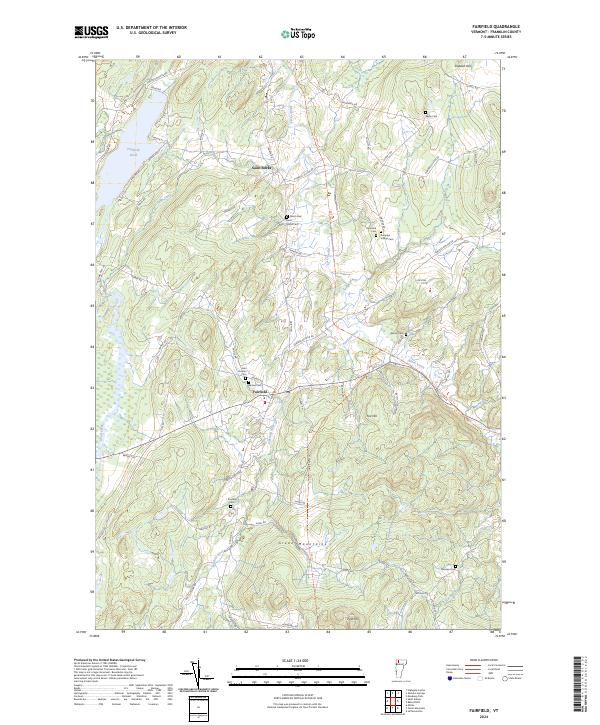 2024 Fairfield2024 Print · USGSNorthern Vermont's Green Mountains and rural valley settlements are captured in this contemporary survey of Franklin County. Researchers can trace family history through numerous burial grounds like Saint Rocks Cem, Diamond Cem, and Fairview Cem while navigating the river-and-road network.
End of results
Showing maps 1-5 of 5
Top cities near Sheldon
- Saint Albans City historical maps
- Swanton historical maps
- Fairfax historical maps
- Milton historical maps
- Johnson historical maps
- Fairfield historical maps
See more
Top neighborhoods of Sheldon
- Sheldon Springs historical maps
- Sheldon Junction historical maps
- Camp Grounds historical maps
- East Sheldon historical maps
- Shawville historical maps
Frequently asked questions
- What are the different types of historical maps available for Sheldon?
- What is the oldest map of Sheldon?
- Where can I purchase historical maps of Sheldon for my home or office?
- Where can I download high-res historical maps of Sheldon?
- Are there historical topographic maps available for Sheldon?
- Is there historical aerial imagery available for Sheldon?
- Where are historical maps of Sheldon sourced from?