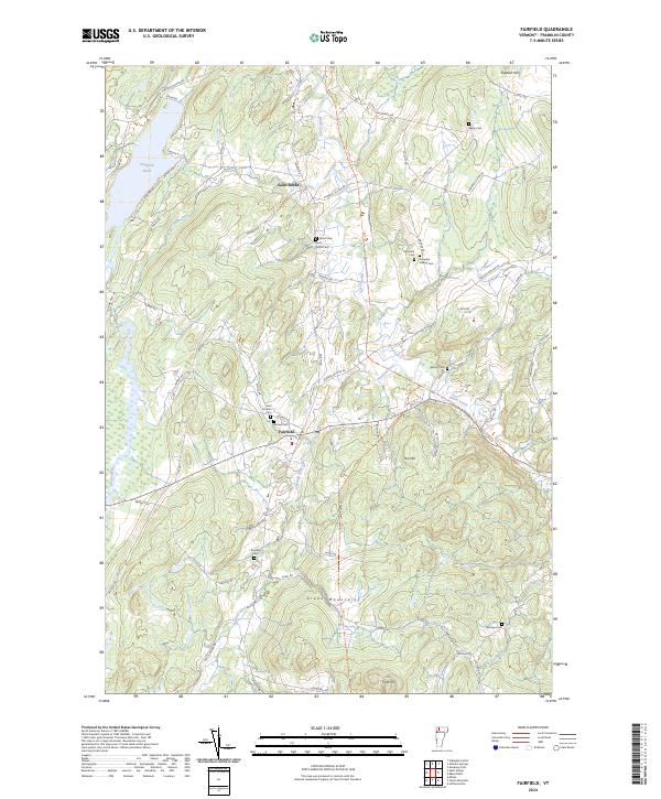
2024 Map of Fairfield
USGS Topo · Published 2024This historical map portrays the area of Fairfield in 2024, primarily covering Franklin County. Featuring a scale of 1:24000, this map provides a highly detailed snapshot of the terrain, roads, buildings, counties, and historical landmarks in the Fairfield region at the time. Published in 2024, it is the sole known edition of this map.
Map Details
Editions of this 2024 Fairfield Map
This is the sole edition of this map. No revisions or reprints were ever made.
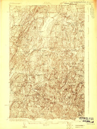
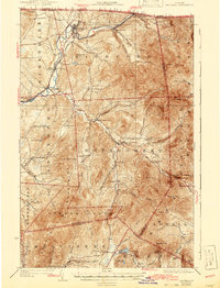
Historical Maps of Sheldon Through Time
40 maps found

1919 Montgomery
Franklin County, VT

1920 Franklin Pond
Franklin County, VT

1920 Montgomery
Franklin County, VT
1922 Franklin Pond
Franklin County, VT
1925 Jay Peak
Franklin County, VT

1943 Jay Peak
Franklin County, VT
1948 Gilson Mountain
Franklin County, VT
1948 Milton
Franklin County, VT
1953 Jay Peak
Franklin County, VT
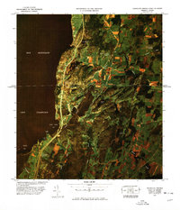
1964 East Alburg
Franklin County, VT
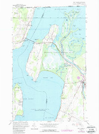
1964 St. Albans Bay
Franklin County, VT

1977 Alburg Springs Station
Franklin County, VT

1977 East Richford Station
Franklin County, VT
1977 Highgate Springs Port Of Entry
Franklin County, VT

1977 Morses Line Station
Franklin County, VT

1977 Richford Port of Entry
Franklin County, VT

1977 West Berkshire Station
Franklin County, VT

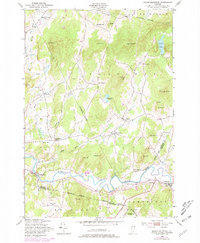
1986 Cold Hollow Mountains
Franklin County, VT
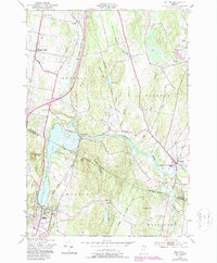
1986 Fairfield
Franklin County, VT

1986 Hazens Notch
Franklin County, VT

1986 Jay Peak
Franklin County, VT

1986 Richford
Franklin County, VT

1986 Sheldon Springs
Franklin County, VT

2024 Cold Hollow Mountains
Franklin County, VT

2024 East Alburg
Franklin County, VT
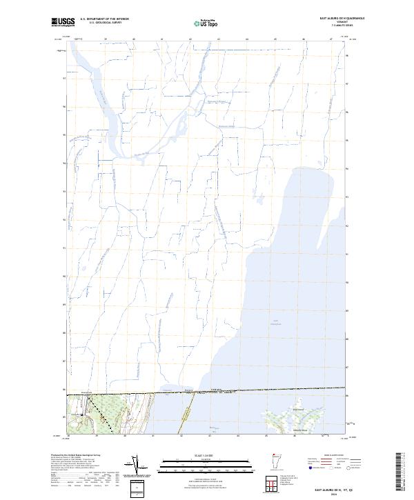
2024 East Alburg OE N
Franklin County, VT

2024 Enosburg Falls OE N
Franklin County, VT
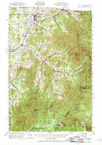
2024 Fairfield
Franklin County, VT

2024 Gilson Mountain
Franklin County, VT

2024 Hazens Notch
Franklin County, VT
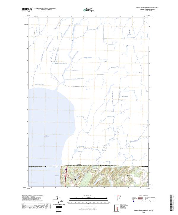
2024 Highgate Center OE N
Franklin County, VT

2024 Jay Peak
Franklin County, VT

2024 Jay Peak OE N
Franklin County, VT
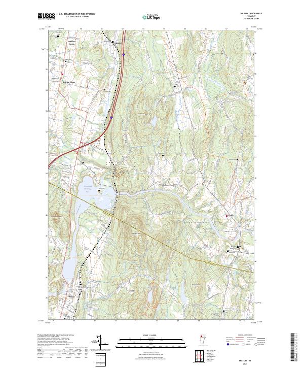
2024 Milton
Franklin County, VT

2024 Richford
Franklin County, VT
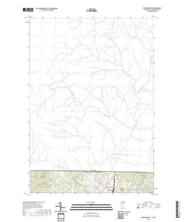
2024 Richford OE N
Franklin County, VT
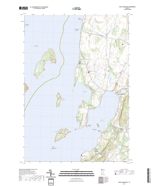
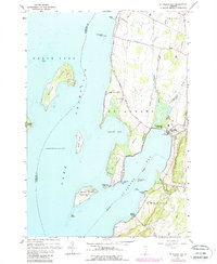
2024 Saint Albans Bay
Franklin County, VT
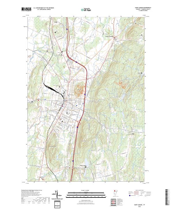
2024 Saint Albans
Franklin County, VT

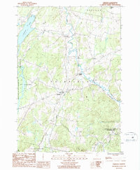
2024 Sheldon Springs
Franklin County, VT
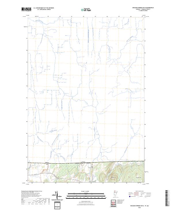
2024 Sheldon Springs OE N
Franklin County, VT