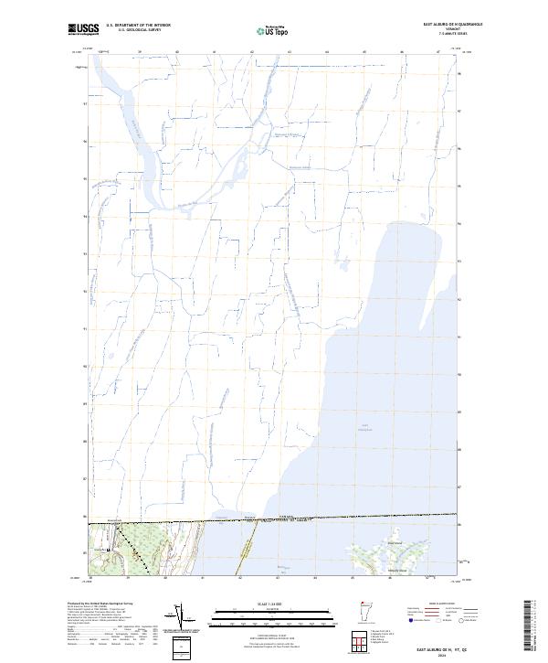
2024 Map of East Alburg OE N
USGS Topo · Published 2024About this map
The international border between the Canada and the United States defines the upper reach of this survey, where the waters of Lake Champlain and Missisquoi Bay meet the Vermont shoreline. The landscape is characterized by a dense network of watercourses, including Rivière du Sud, Ruisseau Lefebvre, and Ruisseau Adams, reflecting the intricate drainage patterns of the lowland basin. To the south, the Missisquoi National Wildlife Refuge encompasses the wetlands and islands near the mouth of the East Branch Missisquoi River, including Shad Island and Metcalfe Island.
Find a feature on this map
32 named features on this map. Tap any name to fly to it.
Don’t see what you’re looking for? This feature index may not catch every label — zoom into the map to look around manually.
Map Details
Editions of this 2024 East Alburg OE N Map
This is the sole edition of this map. No revisions or reprints were ever made.
Other maps of this area

1895 · Rouse Point
USGS Topo · 1:62,500

1907 · Rouse Point
USGS Topo · 1:62,500

1914 · St. Albans
USGS Topo · 1:48,000

1916 · St. Albans
USGS Topo · 1:62,500

1939 · Rouses Point
USGS Topo · 1:62,500

1943 · Rouses Point
USGS Topo · 1:62,500

1943 · St. Albans
USGS Topo · 1:62,500

1950 · Lake Champlain
USGS Topo · 1:250,000

1956 · Rouses Point
USGS Topo · 1:62,500

1958 · Lake Champlain
USGS Topo · 1:250,000