
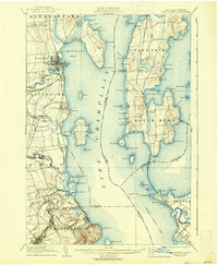
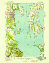
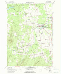
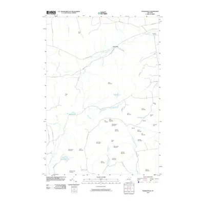
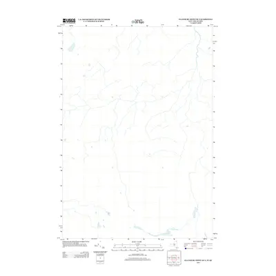
1895 Map of Rouse Point
USGS Topo · Published 1895About this map
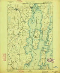
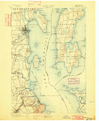
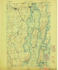
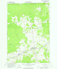
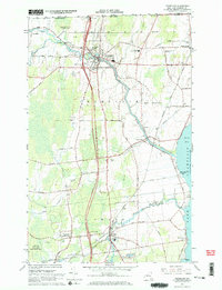
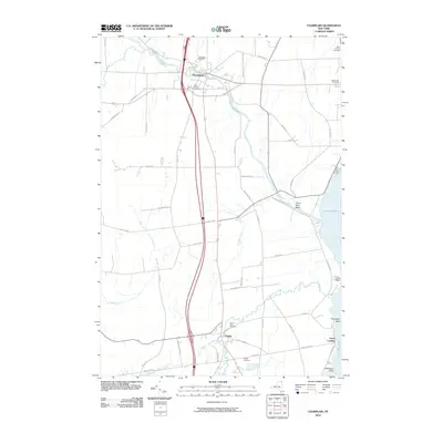
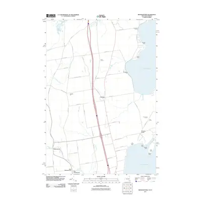
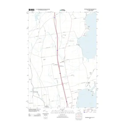
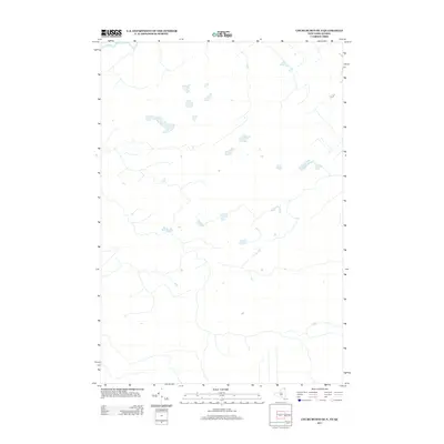
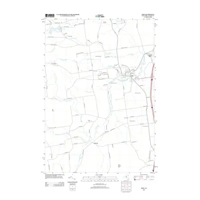
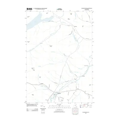
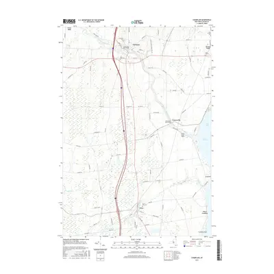
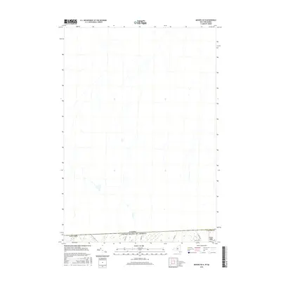
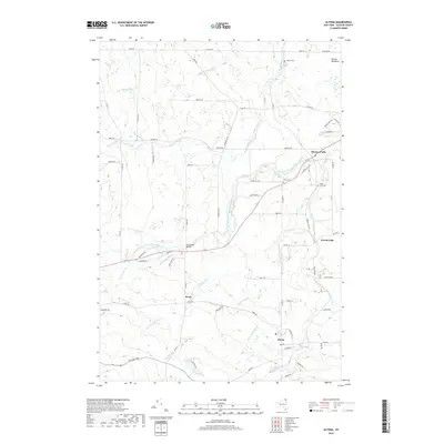
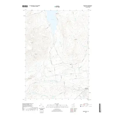
Fort Montgomery stands at the very northern edge of this Lake Champlain survey, positioned strategically near the international border with the Dominion of Canada. This 1890s landscape is defined by the heavy rail influence of the Central Vermont R.R. and the Rutland R.R., which converge at the vital transportation hub of Rouse Point. The map details the intricate shoreline of Isle La Motte and the surrounding waters, including Isle La Motte Passage and Alburg Passage. Inland, the terrain is shaped by the Chazy River and its various tributaries, supporting long-established settlements such as Champlain and Chazy. The inclusion of the Champlain Canal and multiple light stations, including the Isle La Motte L.H. and Point au Roche L.H., illustrates a late 19th-century economy deeply reliant on both maritime navigation and the burgeoning reach of the railroad companies.
Find a feature on this map
108 named features on this map. Tap any name to fly to it.
Don’t see what you’re looking for? This feature index may not catch every label — zoom into the map to look around manually.
Map Details
Editions of this 1895 Rouse Point Map
3 editions found
Historical Maps of Plattsburgh Through Time
129 maps found
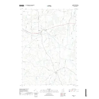
1894 Plattsburg
Clinton County, NY

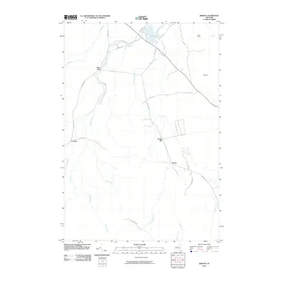
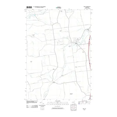
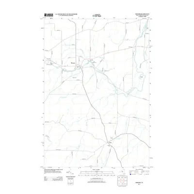
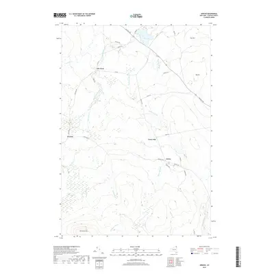
1895 Mooers
Clinton County, NY
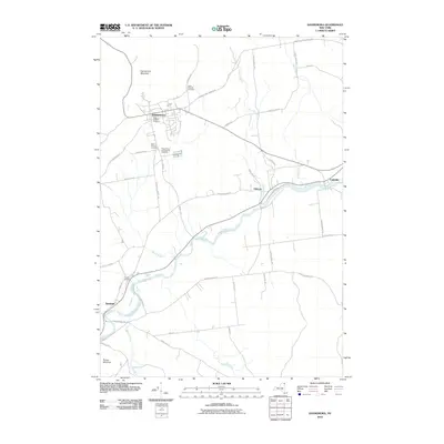
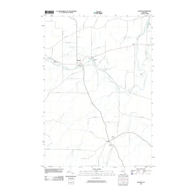
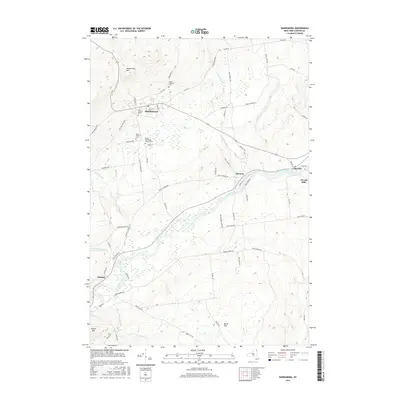
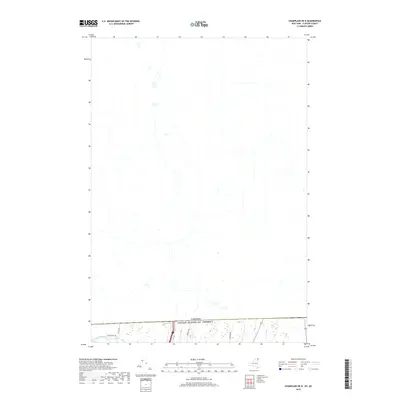
1895 Rouse Point
Clinton County, NY
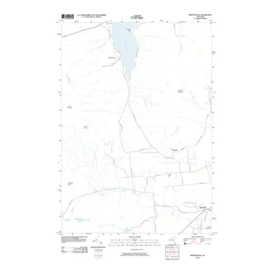
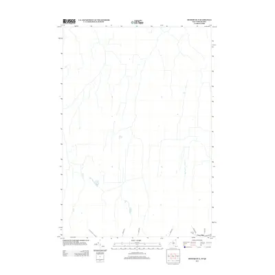
1899 Mooers
Clinton County, NY
1906 Plattsburg
Clinton County, NY
1913 Dannemora
Clinton County, NY
1915 Churubusco
Clinton County, NY

1939 Plattsburg
Clinton County, NY

1941 Plattsburg
Clinton County, NY

1942 Mooers
Clinton County, NY

1943 Churubusco
Clinton County, NY
1943 Mooers
Clinton County, NY
1943 Plattsburg
Clinton County, NY
1956 Dannemora
Clinton County, NY
1956 Mooers
Clinton County, NY
1964 Churubusco
Clinton County, NY

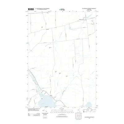
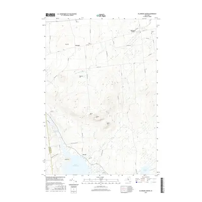
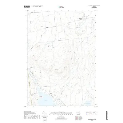
1964 Ellenburg Center
Clinton County, NY
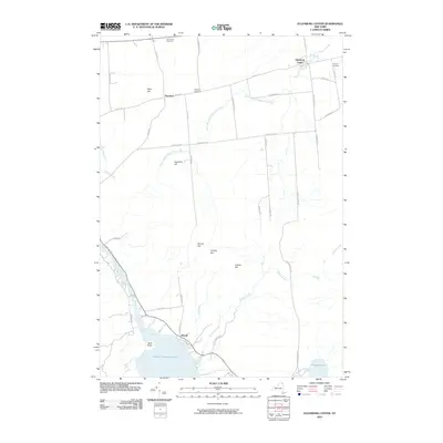
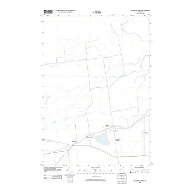
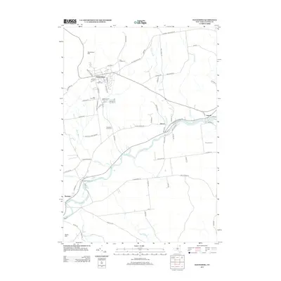
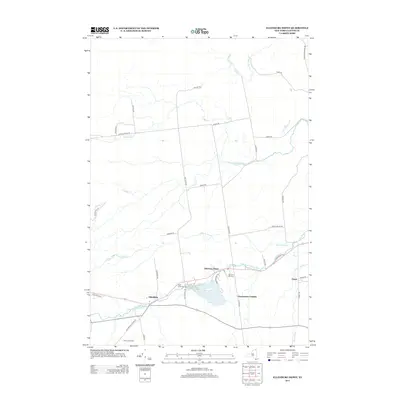
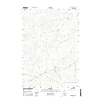
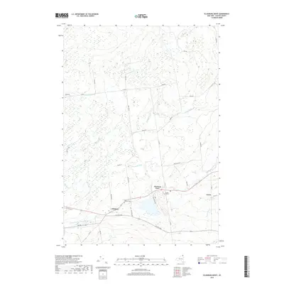
1964 Ellenburg Depot
Clinton County, NY
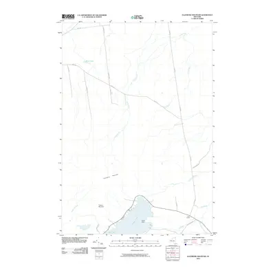
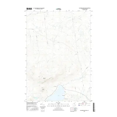
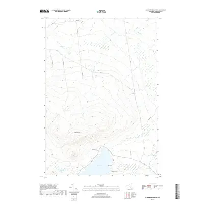
1964 Ellenburg Mountain
Clinton County, NY
1966 Altona
Clinton County, NY
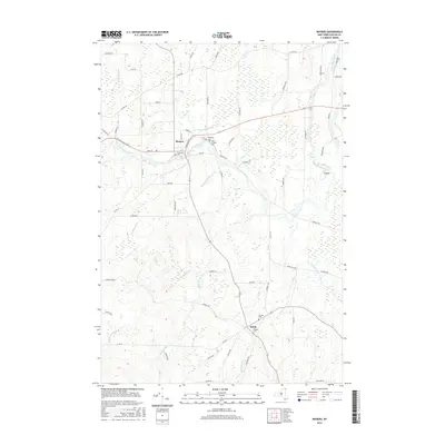
1966 Beekmantown
Clinton County, NY
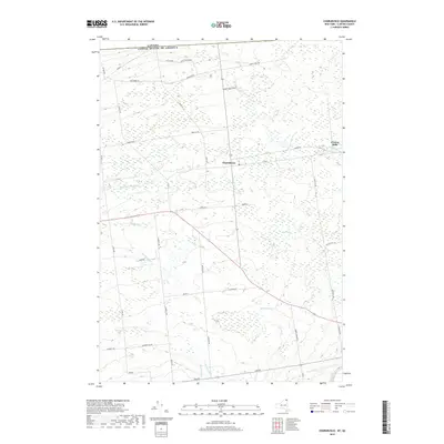
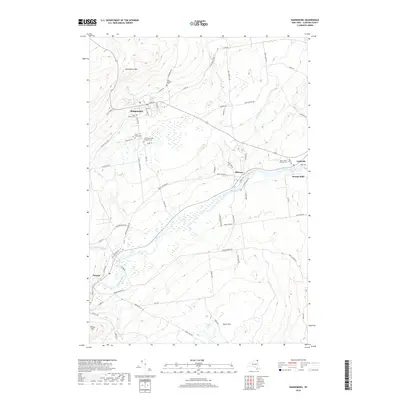
1966 Champlain
Clinton County, NY
1966 Dannemora
Clinton County, NY
1966 Jericho
Clinton County, NY

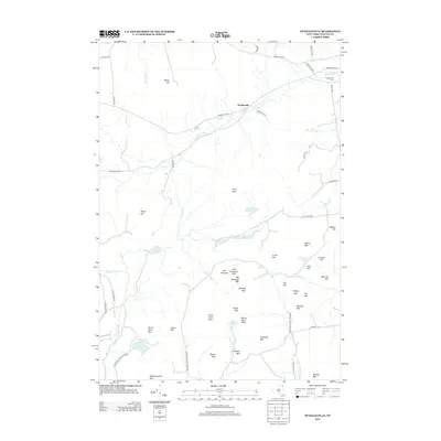
1966 Mooers
Clinton County, NY
1966 Peasleeville
Clinton County, NY
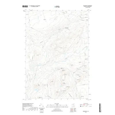
1966 Peru
Clinton County, NY

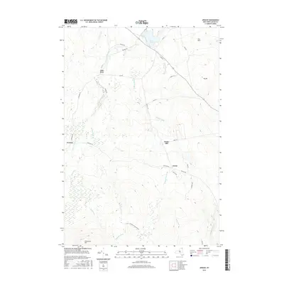
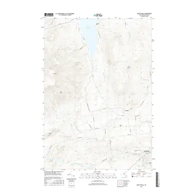
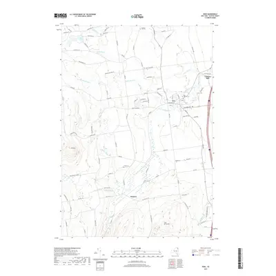
1968 Moffitsville
Clinton County, NY

1977 Cannon Corners Station
Clinton County, NY

1977 Champlain Port of Entry
Clinton County, NY

1977 Churubusco Station
Clinton County, NY
1977 East of Cannon Corners Station
Clinton County, NY

1977 Mooers Station
Clinton County, NY
1986 Lake Champlain North
Clinton County, NY
2010 Altona
Clinton County, NY
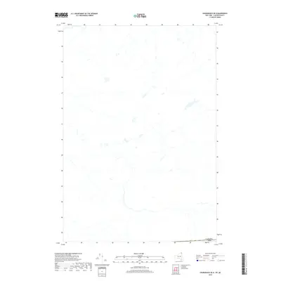
2010 Champlain
Clinton County, NY
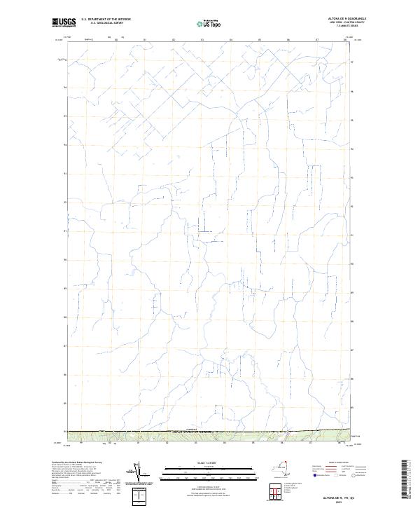
2010 Champlain OE N
Clinton County, NY
2010 Churubusco
Clinton County, NY
2010 Churubusco OE N
Clinton County, NY
2010 Dannemora
Clinton County, NY
2010 Ellenburg Center
Clinton County, NY
2010 Ellenburg Depot
Clinton County, NY
2010 Ellenburg Mountain
Clinton County, NY
2010 Jericho
Clinton County, NY
2010 Moffitsville
Clinton County, NY
2010 Mooers
Clinton County, NY
2010 Mooers OE N
Clinton County, NY
2010 Peasleeville
Clinton County, NY
2010 Peru
Clinton County, NY
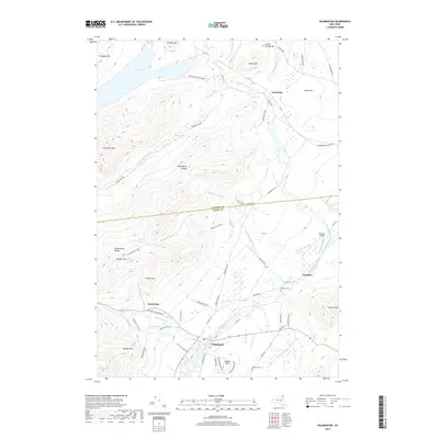
2010 Wilmington
Clinton County, NY
2011 Altona OE N
Clinton County, NY
2011 Beekmantown
Clinton County, NY
2011 Ellenburg Depot OE N
Clinton County, NY
2013 Altona
Clinton County, NY
2013 Altona OE N
Clinton County, NY
2013 Beekmantown
Clinton County, NY
2013 Champlain
Clinton County, NY
2013 Champlain OE N
Clinton County, NY
2013 Churubusco
Clinton County, NY
2013 Churubusco OE N
Clinton County, NY
2013 Dannemora
Clinton County, NY
2013 Ellenburg Center
Clinton County, NY
2013 Ellenburg Depot
Clinton County, NY
2013 Ellenburg Depot OE N
Clinton County, NY
2013 Ellenburg Mountain
Clinton County, NY
2013 Jericho
Clinton County, NY
2013 Moffitsville
Clinton County, NY
2013 Mooers
Clinton County, NY
2013 Mooers OE N
Clinton County, NY
2013 Peasleeville
Clinton County, NY
2013 Peru
Clinton County, NY
2013 Wilmington
Clinton County, NY
2016 Altona
Clinton County, NY
2016 Altona OE N
Clinton County, NY
2016 Beekmantown
Clinton County, NY
2016 Champlain
Clinton County, NY
2016 Champlain OE N
Clinton County, NY
2016 Churubusco
Clinton County, NY
2016 Churubusco OE N
Clinton County, NY
2016 Dannemora
Clinton County, NY
2016 Ellenburg Center
Clinton County, NY
2016 Ellenburg Depot
Clinton County, NY
2016 Ellenburg Depot OE N
Clinton County, NY
2016 Ellenburg Mountain
Clinton County, NY
2016 Jericho
Clinton County, NY
2016 Moffitsville
Clinton County, NY
2016 Mooers
Clinton County, NY
2016 Mooers OE N
Clinton County, NY
2016 Peasleeville
Clinton County, NY
2016 Peru
Clinton County, NY
2016 Wilmington
Clinton County, NY
2019 Altona
Clinton County, NY
2019 Altona OE N
Clinton County, NY
2019 Beekmantown
Clinton County, NY
2019 Champlain
Clinton County, NY
2019 Champlain OE N
Clinton County, NY
2019 Churubusco
Clinton County, NY
2019 Churubusco OE N
Clinton County, NY
2019 Dannemora
Clinton County, NY
2019 Ellenburg Center
Clinton County, NY
2019 Ellenburg Depot
Clinton County, NY
2019 Ellenburg Depot OE N
Clinton County, NY
2019 Ellenburg Mountain
Clinton County, NY
2019 Jericho
Clinton County, NY
2019 Moffitsville
Clinton County, NY
2019 Mooers
Clinton County, NY
2019 Mooers OE N
Clinton County, NY
2019 Peasleeville
Clinton County, NY
2019 Peru
Clinton County, NY
2019 Wilmington
Clinton County, NY

2023 Altona
Clinton County, NY
2023 Altona OE N
Clinton County, NY

2023 Beekmantown
Clinton County, NY

2023 Champlain
Clinton County, NY
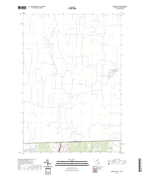
2023 Champlain OE N
Clinton County, NY

2023 Churubusco
Clinton County, NY
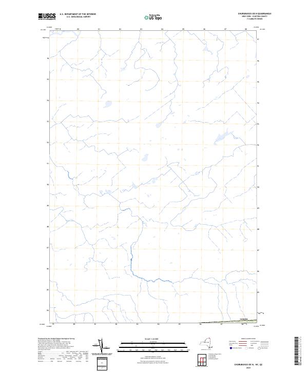
2023 Churubusco OE N
Clinton County, NY

2023 Dannemora
Clinton County, NY

2023 Ellenburg Center
Clinton County, NY

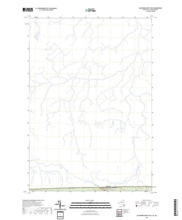
2023 Ellenburg Depot
Clinton County, NY
2023 Ellenburg Depot OE N
Clinton County, NY

2023 Ellenburg Mountain
Clinton County, NY

2023 Jericho
Clinton County, NY

2023 Moffitsville
Clinton County, NY

2023 Mooers
Clinton County, NY

2023 Mooers OE N
Clinton County, NY

2023 Peasleeville
Clinton County, NY

2023 Peru
Clinton County, NY

2023 Wilmington
Clinton County, NY