
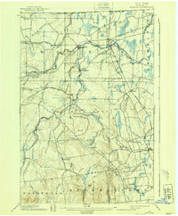
1899 Map of Mooers
USGS Topo · Published 1899About this map
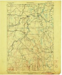
The northern frontier of Clinton County is defined by the United States Dominion of Canada boundary line, where the Big Chazy River and its branches carve through the landscape. At the end of the nineteenth century, this region was a critical rail hub, centered on the crossing of the Ogdensburg and Lake Champlain R. R. and the Delaware and Hudson R. R. at Mooers Junction. Smaller settlements like Mooers Forks, Wood Falls, and Altona thrived along these iron arteries and river bends.
Find a feature on this map
66 named features on this map. Tap any name to fly to it.
Don’t see what you’re looking for? This feature index may not catch every label — zoom into the map to look around manually.
Map Details
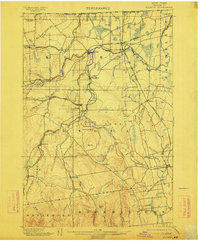
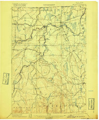
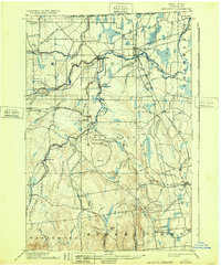
Editions of this 1899 Mooers Map
6 editions found
Other maps of this area

1894 · Plattsburg
USGS Topo · 1:62,500

1895 · Mooers
USGS Topo · 1:62,500

1895 · Rouse Point
USGS Topo · 1:62,500

1906 · Plattsburg
USGS Topo · 1:62,500

1907 · Rouse Point
USGS Topo · 1:62,500

1911 · Lyon Mountain
USGS Topo · 1:62,500

1913 · Dannemora
USGS Topo · 1:62,500

1913 · Lyon Mountain
USGS Topo · 1:62,500

1915 · Churubusco
USGS Topo · 1:62,500

1931 · Lyon Mountain
USGS Topo · 1:62,500