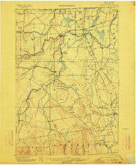
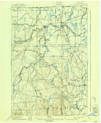
1899 Map of Mooers
USGS Topo · Published 1912About this map
The North Branch Big Chazy River and the Chazy River carve through this corner of Clinton County, defining a landscape of agricultural settlements and industrial outposts along the United States Dominion of Canada Boundary Line. At the turn of the century, the region's economy relied heavily on the intersection of the Ogdensburg and Lake Champlain R. R. and the Delaware and Hudson R. R., centered at Mooers Junction. Smaller hamlets like Irona, Altona, and Sciota dot the rail lines, while more remote sites such as Jerusalem and Alder Bend sit further into the uplands. Geologic and local landmarks such as Rattlesnake Den, Leadmine Gully, and the summit of Rand Hill suggest a rugged terrain that once supported small-scale mining and timber operations, evidenced by the presence of Purdy Mill and Wood Falls.
Find a feature on this map
68 named features on this map. Tap any name to fly to it.
Don’t see what you’re looking for? This feature index may not catch every label — zoom into the map to look around manually.
Map Details
Editions of this 1899 Mooers Map
6 editions found
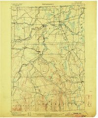
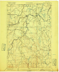
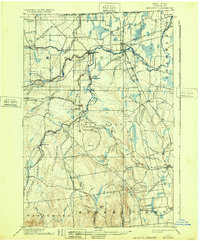
Other maps of this area

1894 · Plattsburg
USGS Topo · 1:62,500

1895 · Mooers
USGS Topo · 1:62,500

1895 · Rouse Point
USGS Topo · 1:62,500

1899 · Mooers
USGS Topo · 1:62,500

1906 · Plattsburg
USGS Topo · 1:62,500

1907 · Rouse Point
USGS Topo · 1:62,500

1911 · Lyon Mountain
USGS Topo · 1:62,500

1913 · Dannemora
USGS Topo · 1:62,500

1913 · Lyon Mountain
USGS Topo · 1:62,500

1915 · Churubusco
USGS Topo · 1:62,500