
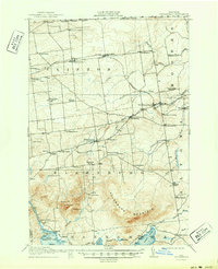
1915 Map of Churubusco
USGS Topo · Published 1915About this map
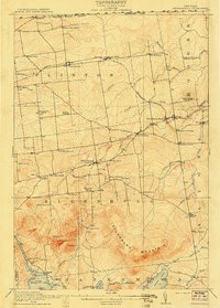
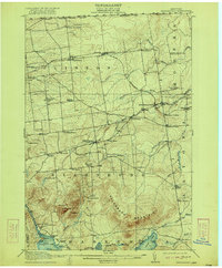
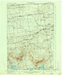
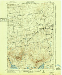
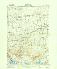
Churubusco and the surrounding northern Clinton County landscape are captured here just before the First World War, showing a region defined by its close proximity to the United States Canada Boundary Line. The Rutland RR (Ogdensburg Division) cuts through the northern tier, connecting settlements like Clinton Mills and Ellenburg Depot. This map reveals a dense network of early 20th-century rural education, featuring dozens of locally named institutions such as the Liberty Pole School, Steam Mill School, and Fernwood School. To the south, the terrain rises sharply toward the massive Ellenburg Mountain, overlooking Chazy Lake and the settlement of Merrill on Upper Chateaugay Lake. The drainage patterns of the English River and the North Branch Great Chazy River illustrate the watershed that supported the area's timber and milling history.
Find a feature on this map
70 named features on this map. Tap any name to fly to it.
Don’t see what you’re looking for? This feature index may not catch every label — zoom into the map to look around manually.
Map Details
Editions of this 1915 Churubusco Map
7 editions found
Other maps of this area

1895 · Mooers
USGS Topo · 1:62,500

1899 · Mooers
USGS Topo · 1:62,500

1906 · Loon Lake
USGS Topo · 1:62,500

1908 · Loon Lake
USGS Topo · 1:62,500

1911 · Lyon Mountain
USGS Topo · 1:62,500

1913 · Dannemora
USGS Topo · 1:62,500

1913 · Lyon Mountain
USGS Topo · 1:62,500

1915 · Chateaugay
USGS Topo · 1:62,500

1931 · Lyon Mountain
USGS Topo · 1:62,500

1942 · Mooers
USGS Topo · 1:62,500