
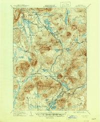
1908 Map of Loon Lake
USGS Topo · Published 1908About this map
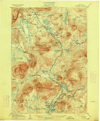
Titusville Mtn and the Salmon River anchor this 1908 topographic study of the Adirondack wilderness in Franklin County. The landscape is defined by the heavy presence of the timber and tanning industries, evidenced by the Upper Kilns and Middle Kilns near the northeastern edge, and several water-powered operations such as Walker Mill and Bryants Mill. Transportation through these mountain ranges is dominated by two major rail lines: the New York Central and Hudson River RR and the Chateaugay and Lake Placid RR.
Find a feature on this map
118 named features on this map. Tap any name to fly to it.
Don’t see what you’re looking for? This feature index may not catch every label — zoom into the map to look around manually.
Map Details
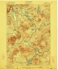
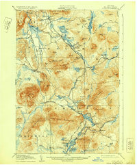
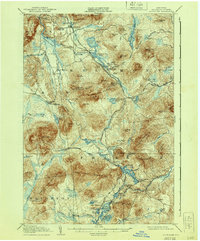
Editions of this 1908 Loon Lake Map
6 editions found
Other maps of this area

1896 · Lake Placid
USGS Topo · 1:62,500

1898 · Lake Placid
USGS Topo · 1:62,500

1902 · Saranac
USGS Topo · 1:62,500

1904 · Saranac
USGS Topo · 1:62,500

1905 · Saint Regis
USGS Topo · 1:62,500

1906 · Loon Lake
USGS Topo · 1:62,500

1911 · Lyon Mountain
USGS Topo · 1:62,500

1913 · Lyon Mountain
USGS Topo · 1:62,500

1915 · Churubusco
USGS Topo · 1:62,500

1915 · Chateaugay
USGS Topo · 1:62,500