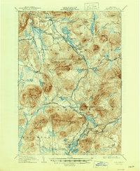
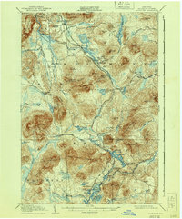
1908 Map of Loon Lake
USGS Topo · Published 1946About this map
The New York Central and Hudson River RR (Adirondack Division) and the Chateaugay and Lake Placid RR converge in this Franklin County landscape, marking an era of heavy rail dependence for both timber and tourism. The rail network supports vital depots at Mountain View Sta and Loon Lake Sta, providing access to the rugged Plumadore Range and the surrounding wilderness. Early transportation routes like the Port Kent and Hopkinton Turnpike cross the terrain, linking older sites like Walker Mill and the Inman PO. Settlement is concentrated around these corridors, with places like Chases, Hunter Home, and Merrillville serving as remote outposts. The hydrology is dominated by the Salmon River and numerous high-altitude ponds including Debar Pond and Wolf Pond, which define the natural character of the region within the Adirondack Park.
Find a feature on this map
107 named features on this map. Tap any name to fly to it.
Don’t see what you’re looking for? This feature index may not catch every label — zoom into the map to look around manually.
Map Details
Editions of this 1908 Loon Lake Map
6 editions found
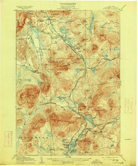
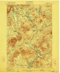
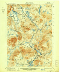
Other maps of this area

1896 · Lake Placid
USGS Topo · 1:62,500

1898 · Lake Placid
USGS Topo · 1:62,500

1902 · Saranac
USGS Topo · 1:62,500

1904 · Saranac
USGS Topo · 1:62,500

1905 · Saint Regis
USGS Topo · 1:62,500

1906 · Loon Lake
USGS Topo · 1:62,500

1908 · Loon Lake
USGS Topo · 1:62,500

1911 · Lyon Mountain
USGS Topo · 1:62,500

1913 · Lyon Mountain
USGS Topo · 1:62,500

1915 · Churubusco
USGS Topo · 1:62,500