
1915 Map of Chateaugay
USGS Topo · Published 1915About this map
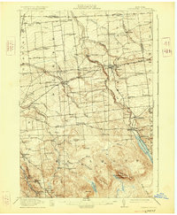
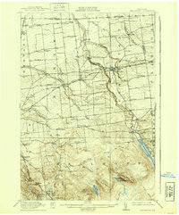
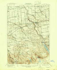
Chateaugay and the surrounding townships of Burke and Bellmont are depicted here just before the First World War, showing a landscape defined by the drainage of the Marble River and Trout River toward the Canadian border. The area is characterized by a dense network of numbered schoolhouses and small rural crossroads like Brainardsville and Thayer Corners. Industrial activity is evident through sites like The Forge and Whites Kiln, while the Rutland RR and the Adirondack Div of the New York Central RR provide the primary transport corridors for timber and goods. Near the southern edge, the elevation rises toward Figure Eight Mtn and East Mountain, where the terrain becomes less settled. Notable local landmarks include the geological feature Chateaugay Chasm and the White Church, which serve as fixed points for researchers tracing early twentieth-century property lines and community centers.
Find a feature on this map
81 named features on this map. Tap any name to fly to it.
Don’t see what you’re looking for? This feature index may not catch every label — zoom into the map to look around manually.
Map Details
Editions of this 1915 Chateaugay Map
4 editions found
Other maps of this area

1906 · Loon Lake
USGS Topo · 1:62,500

1908 · Loon Lake
USGS Topo · 1:62,500

1911 · Lyon Mountain
USGS Topo · 1:62,500

1913 · Lyon Mountain
USGS Topo · 1:62,500

1915 · Churubusco
USGS Topo · 1:62,500

1915 · Malone
USGS Topo · 1:62,500

1917 · Malone
USGS Topo · 1:62,500

1921 · Santa Clara
USGS Topo · 1:62,500

1923 · Santa Clara
USGS Topo · 1:62,500

1931 · Lyon Mountain
USGS Topo · 1:62,500