Old Maps of Constable, New York
Explore 26 old maps of Constable, spanning from 1915 to today. These high-resolution historic maps reveal how streets, neighborhoods, landmarks, and natural features evolved over time — perfect for genealogy, metal detecting, research, and local history exploration.
What you can do with these maps:
- See how Constable changed over time: Compare historical maps to modern-day views to trace roads, homesites, rail lines & more.
- View detailed metadata: Each map includes creators, publishers, year, scale, and archive source.
- Overlay maps with satellite & LiDAR: Visualize the past alongside modern tools to explore terrain & human change.
- Trusted historical sources: Maps sourced from the USGS, Library of Congress, and other archives.
- Access maps your way: View online, download high-res files, or order prints for personal or research use.
Start exploring old maps of Constable to uncover forgotten places, hidden landmarks, and the deep history beneath your feet.
Constable, NY maps
(26)- 1915 Map of Chateaugay
 1915 Chateaugay1915 Print · USGSNorthern Franklin County appears here during the height of its rail-and-mill era, bordering the international boundary with Canada. Genealogists can trace family footprints through dozens of numbered schoolhouses, the White Church, and industrial sites like Cooks Mill or The Forge.4 unique versions available
 - 1915 Map of Malone, 1957 Print
 1915 Malone1957 Print · USGSFranklin County at the onset of the Great War reveals a landscape defined by industrial rail junctions and a dense network of district schools. Genealogists can trace family roots through numerous rural school sites and landmarks like the County Almshouse, Malone Junction, and Fort Covington.2 unique versions available
 - 1917 Map of Malone
 1917 Malone1917 Print · USGSNorthern New York's borderlands are captured here during the height of the steam-rail era, centered on the busy junction at Malone. Genealogists and local historians can trace family locations near dozens of rural schoolhouses or along the Rutland RR and Salmon River.5 unique versions available
 - 1943 Map of Chateaugay
 1943 Chateaugay1943 Print · USGSFranklin County sits at the international border during the early years of the war, showing a landscape of small dairy farms and rail-dependent hamlets. Researchers can trace the path of the Rutland Railroad through Chateaugay and find local landmarks like Cooks Mill and Brainardsville.
 - 1948 Map of Ogdensburg, 1973 Print
 1948 Ogdensburg1973 Print · USGSThe international border along the St Lawrence River comes to life in the late 1940s, showing the vital rail and water connections between New York and Ontario. Researchers can trace the grounds of St Lawrence University, the massive Camp Drum military reservation, and the historic Rideau River and Canal.2 unique versions available
 - 1951 Map of Ogdensburg
 1951 Ogdensburg1951 Print · USGSThe St. Lawrence frontier and the North Country are captured here during the post-war era, from the river ports to the high Adirondacks. Genealogists and historians can trace the rail-and-river economy through Ogdensburg, the Rutland rail lines, and Potsdam.
 - 1953 Map of Ogdensburg
 1953 Ogdensburg1953 Print · USGSThe North Country and St. Lawrence Valley are shown here in the early fifties, just as the region’s rail-and-river economy remained in full swing. Genealogists and historians can trace family-named corners and rural hubs along the Rutland railroad or locate heritage sites near Ogdensburg, Potsdam, and the St Regis Indian Reservation.
 - 1961 Map of Ogdensburg
 1961 Ogdensburg1961 Print · USGSThe St. Lawrence valley and the Adirondack high country meet in this early sixties survey during a peak era for rail and river commerce. Genealogists and historians can trace the paths of the New York Central railroad through remote settlements like Wanakena, Conifer, and Piercefield.
 - 1964 Map of Burke, 1965 Print
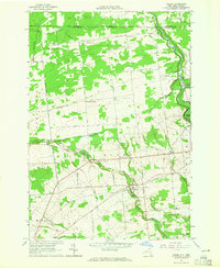 1964 Burke1965 Print · USGSNorthern Franklin County meets the Canadian border in the mid-1960s, showing a landscape of riverside villages and highland farms. Genealogists can trace family names across Burke Center, St George Ch, and cemeteries like Mitchell Cem.
 - 1964 Map of Constable, 1966 Print
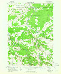 1964 Constable1966 Print · USGSFranklin County's international borderlands are captured here in the mid-1960s, showing the rural landscape around the US Customs Port of Entry. Genealogists can trace local roots at Pine Grove Cem and the St Francis of Assisi Cem near the village of Constable.2 unique versions available
 - 1977 Map of Trout River Port of Entry, 1978 Print
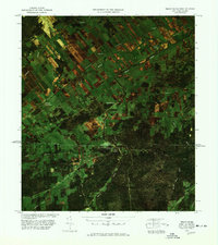 1977 Trout River Port of Entry1978 Print · USGSThe borderlands of New York and Quebec come into sharp focus in the late seventies, showing the international crossing at the Trout River Port of Entry U S Customs. Genealogists and local historians can trace family-named locations such as Whites, Carrs, and Kelso along the winding Trout River.
 - 1977 Map of Jamiesons Line Station, 1978 Print
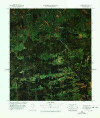 1977 Jamiesons Line Station1978 Print · USGSThe international border near Franklin, New York, is captured in the late seventies as a quiet landscape of cross-border hamlets and farms. Researchers can locate remote family landmarks like Cooks Mill, Sandy Knoll Cem, and the Jamieson Line Station U S Customs.
 - 1985 Map of Massena
 1985 Massena1985 Print · USGSNorthern New York at the mid-eighties shows a landscape of river-driven industry and high mountain wilderness along the Canadian border. Researchers can trace the legacy of iron working and milling in Brasher Iron Works or follow the Raquette River through Massena and Potsdam.
 - 1993 Map of Burke, 1995 Print
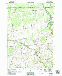 1993 Burke1995 Print · USGSIn the 1990s, the rural borderlands of northern New York maintained a quiet network of family farms and small hamlets along the Canadian line. Genealogists can trace family names through numerous burial grounds like St George Cem, Mitchell Cem, and Pike Cem.
 - 1993 Map of Constable, 1995 Print
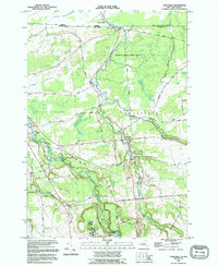 1993 Constable1995 Print · USGSThe northern border of Franklin County meets Quebec in the 1990s, centered on the cross-border community of Trout River. Genealogists and local historians can trace family locations along Taylor Road and visit documented sites like Pine Grove Cem and St Francis Of Assisi Cem.
 - 1994 Map of Massena
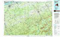 1994 Massena1994 Print · USGSThe St. Lawrence River valley and northern Adirondacks meet in the mid-1990s, revealing a landscape of international shipping, rail corridors, and dense state forests. Genealogists and historians can trace the foundations of Massena, the St Regis Indian Reservation, and small hamlets like Brasher Iron Works.
 - 2010 Map of Constable, 2010 Print
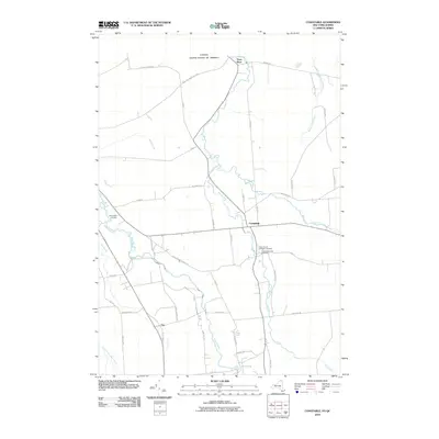 2010 Constable2010 Print · USGSUpper Franklin County sits along the Canadian border in this 2010 survey, showing the rural landscapes around Constable and Trout River. Researchers can trace local lineage through family-named routes and historic sites like Saint Francis of Assisi Cemetery and Fay.
 - 2011 Map of Burke, 2011 Print
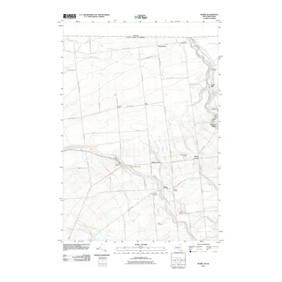 2011 Burke2011 Print · USGSNorthern New York at the start of the 2010s is a landscape of rural hamlets and family histories along the international border. Genealogists can trace deep local roots through a network of burial sites like Sandy Knoll Cemetery and Mitchell Cemetery, or locate the historic settlement at Cooks Mill.
 - 2013 Map of Burke, 2013 Print
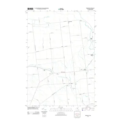 2013 Burke2013 Print · USGSFranklin County's northern agricultural landscape is captured here in the early twenty-first century, showing the enduring settlement patterns of the region. Genealogists and local historians can trace family-named sites like Cooks Mill, Coveytown Corners, and Howard Cem.
 - 2013 Map of Constable, 2013 Print
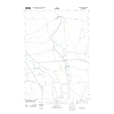 2013 Constable2013 Print · USGSFranklin County's borderlands are detailed here in the early twenty-first century, showing the rural networks near the Canadian line. Genealogists can locate family landmarks such as the United Methodist Cem in Constable or trace the winding course of the Salmon River.
 - 2016 Map of Constable, 2016 Print
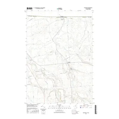 2016 Constable2016 Print · USGSNorthern New York's borderlands near the Canadian frontier are captured here, centered on the settlement of Constable and its riverine landscape. Researchers can trace family history through local burial sites like Pine Grove Cem and follow the paths of the Salmon River and Little Trout River across the county.
 - 2016 Map of Burke, 2016 Print
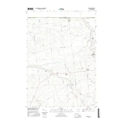 2016 Burke2016 Print · USGSThis rural Franklin County landscape near the Canadian border shows a late-century snapshot of a historic farming and milling region. Researchers can trace local lineage through numerous burial grounds like Saint George Cem or locate the site of Cooks Mill.
 - 2019 Map of Constable, 2019 Print
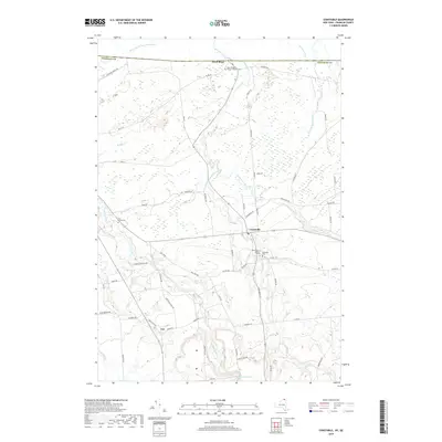 2019 Constable2019 Print · USGSNorthern Franklin County near the Canadian border remains a landscape of rural tradition and winding waterways. Researchers can trace family history at Saint Bridget's Roman Catholic Cem or follow the paths of the Salmon River and Trout River through the heart of Constable.
 - 2019 Map of Burke, 2019 Print
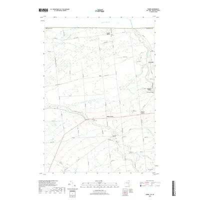 2019 Burke2019 Print · USGSFranklin County in the late 2010s remains a landscape of quiet dairy country and historic crossroads. Genealogists can trace family names through several rural burial sites like Saint George Cem and Thayer Corners Cem or locate old industrial sites such as Cooks Mill.
 - 2023 Map of Burke, 2023 Print
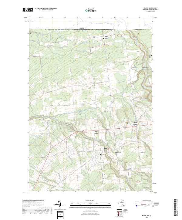 2023 Burke2023 Print · USGSNorthern Franklin County meets the international border in this modern survey of rural New York. Genealogists can locate family burial plots at Mitchell Cem and Thayer Corners Cem or trace old mill sites at Cooks Mill.
Showing maps 1-25 of 26
Top cities near Constable
- Malone historical maps
- Malone historical maps
- Moira historical maps
- Bangor historical maps
- Westville historical maps
- Chateaugay historical maps
See more
Top neighborhoods of Constable
Frequently asked questions
- What are the different types of historical maps available for Constable?
- What is the oldest map of Constable?
- Where can I purchase historical maps of Constable for my home or office?
- Where can I download high-res historical maps of Constable?
- Are there historical topographic maps available for Constable?
- Is there historical aerial imagery available for Constable?
- Where are historical maps of Constable sourced from?