
1917 Map of Malone
USGS Topo · Published 1917About this map
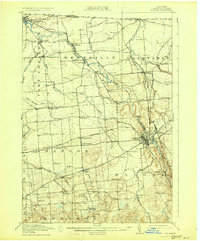
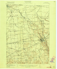
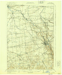
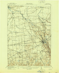
Malone serves as the industrial and transportation hub for northern Franklin County on this survey conducted just before the United States entered the Great War. The landscape is defined by its sophisticated rail network, where the Rutland RR (Ogdensburg Division) intersects with the Adirondack Division New York Central at Malone Junction. This connectivity supported the scattered hamlets of Westville, Constable, and North Bangor.
Find a feature on this map
54 named features on this map. Tap any name to fly to it.
Don’t see what you’re looking for? This feature index may not catch every label — zoom into the map to look around manually.
Map Details
Editions of this 1917 Malone Map
5 editions found
Other maps of this area

1906 · Loon Lake
USGS Topo · 1:62,500

1908 · Loon Lake
USGS Topo · 1:62,500

1915 · Chateaugay
USGS Topo · 1:62,500

1915 · Malone
USGS Topo · 1:62,500

1915 · Moira
USGS Topo · 1:62,500

1917 · Moira
USGS Topo · 1:62,500

1919 · Nicholville
USGS Topo · 1:62,500

1921 · Nicholville
USGS Topo · 1:62,500

1921 · Santa Clara
USGS Topo · 1:62,500

1923 · Santa Clara
USGS Topo · 1:62,500