
1917 Map of Moira
USGS Topo · Published 1917About this map
The St Regis Indian Reservation dominates the northern landscape of this 1915 survey, where the St Regis River and Raquette River converge near the United States Canada Boundary Line. The region's early industrial character is visible through the Brasher Iron Works along the Deer River and the isolated Wagstaff Factory further south.
Find a feature on this map
70 named features on this map. Tap any name to fly to it.
Don’t see what you’re looking for? This feature index may not catch every label — zoom into the map to look around manually.
Map Details
Editions of this 1917 Moira Map
4 editions found
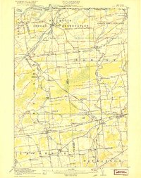
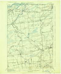
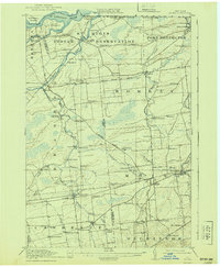
Other maps of this area

1906 · Massena
USGS Topo · 1:62,500

1907 · Massena
USGS Topo · 1:62,500

1908 · Potsdam
USGS Topo · 1:62,500

1915 · Malone
USGS Topo · 1:62,500

1915 · Moira
USGS Topo · 1:62,500

1917 · Malone
USGS Topo · 1:62,500

1919 · Nicholville
USGS Topo · 1:62,500

1921 · Nicholville
USGS Topo · 1:62,500

1921 · Santa Clara
USGS Topo · 1:62,500

1923 · Santa Clara
USGS Topo · 1:62,500