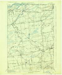
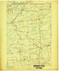
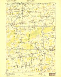
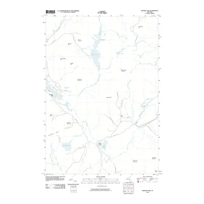
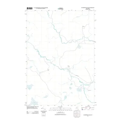
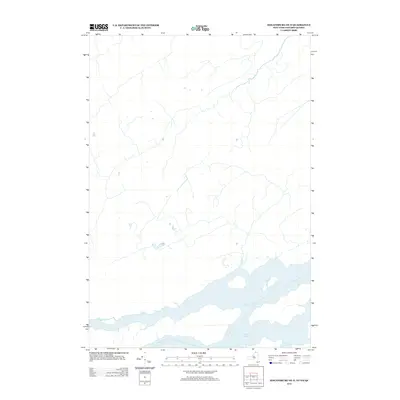
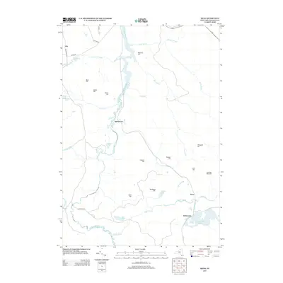
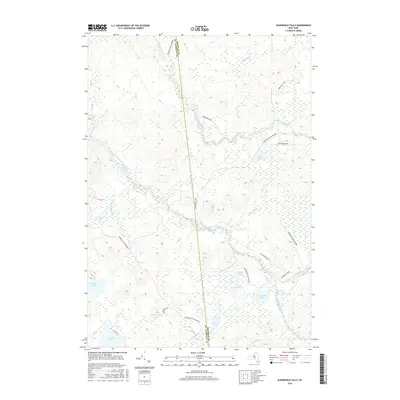
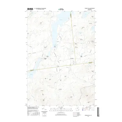
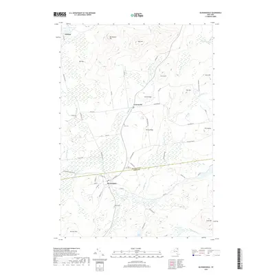
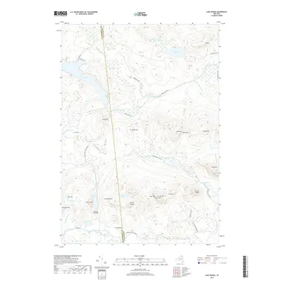
1917 Map of Moira
USGS Topo · Published 1935About this map
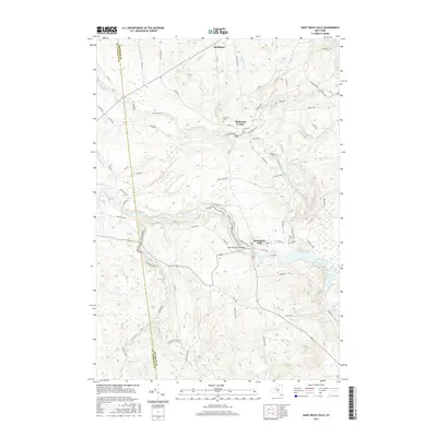
The St Regis Indian Reservation dominates the northern landscape of this survey, bordered by the international boundary with Canada and the waters of the St Lawrence River. This region of Northern New York shows a dense network of early 20th-century industry and transit, centered on the St Regis River and Raquette River. Significant industrial landmarks like the Brasher Iron Works and the Wagstaff Factory indicate the era's manufacturing focus, while the crossing of the Grand Trunk and Rutland RR lines highlights a robust rail economy. The map is particularly rich for genealogical research, identifying numerous numbered district schools and named family crossroads such as Laverys Corner, Taylors Corner, and McEwens Corner. Small settlements like Hogansburg, Brushton, and North Lawrence serve as local hubs for the surrounding farmsteads and riverside mills.
Find a feature on this map
68 named features on this map. Tap any name to fly to it.
Don’t see what you’re looking for? This feature index may not catch every label — zoom into the map to look around manually.
Map Details
Editions of this 1917 Moira Map
4 editions found
Historical Maps of Massena Through Time
219 maps found

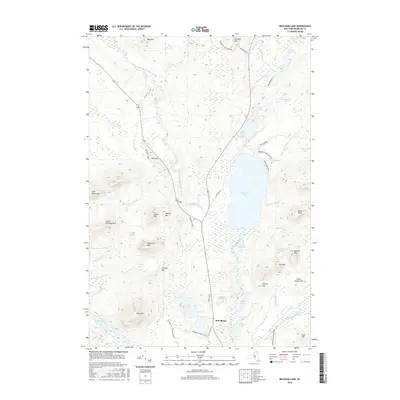
1902 Saranac
Franklin County, NY

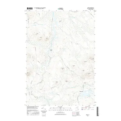
1904 Long Lake
Franklin County, NY

1904 Saranac
Franklin County, NY

1905 Saint Regis
Franklin County, NY

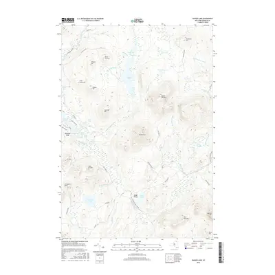
1906 Loon Lake
Franklin County, NY

1908 Loon Lake
Franklin County, NY

1915 Chateaugay
Franklin County, NY

1915 Malone
Franklin County, NY

1915 Moira
Franklin County, NY

1917 Malone
Franklin County, NY

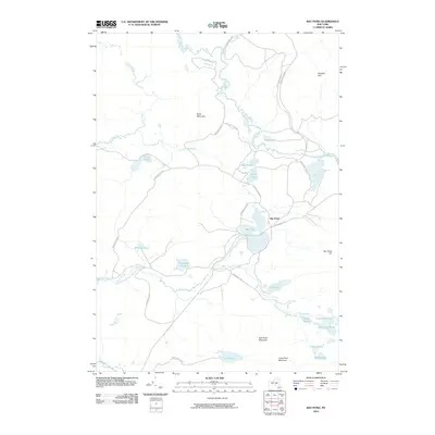
1917 Moira
Franklin County, NY

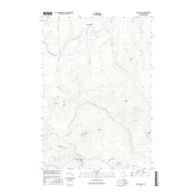
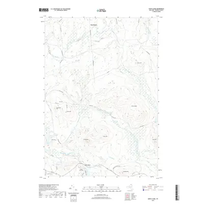
1921 Santa Clara
Franklin County, NY

1923 Santa Clara
Franklin County, NY

1943 Chateaugay
Franklin County, NY

1944 Moira
Franklin County, NY

1955 Long Lake
Franklin County, NY

1955 Saint Regis
Franklin County, NY

1964 Bangor
Franklin County, NY

1964 Bombay
Franklin County, NY

1964 Brainardsville
Franklin County, NY

1964 Burke
Franklin County, NY

1964 Chasm Falls
Franklin County, NY

1964 Chateaugay
Franklin County, NY

1964 Constable
Franklin County, NY

1964 Ft. Covington
Franklin County, NY

1964 Lake Ozonia
Franklin County, NY

1964 Lake Titus
Franklin County, NY

1964 Malone
Franklin County, NY

1964 Meacham Lake
Franklin County, NY

1964 Meno
Franklin County, NY

1964 Saint Regis Falls
Franklin County, NY

1964 Santa Clara
Franklin County, NY

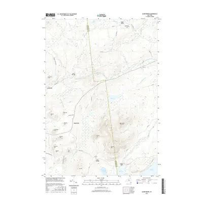
1968 Alder Brook
Franklin County, NY

1968 Debar Mountain
Franklin County, NY

1968 Loon Lake
Franklin County, NY

1968 Owls Head
Franklin County, NY

1968 Ragged Lake
Franklin County, NY

1970 Augerhole Falls
Franklin County, NY

1977 Chateaugay Port of Entry
Franklin County, NY

1977 East of Fort Covington Port of Entry
Franklin County, NY

1977 Fort Covington Port of Entry
Franklin County, NY

1977 Jamiesons Line Station
Franklin County, NY

1977 Massena Port of Entry
Franklin County, NY

1977 Trout River Port of Entry
Franklin County, NY

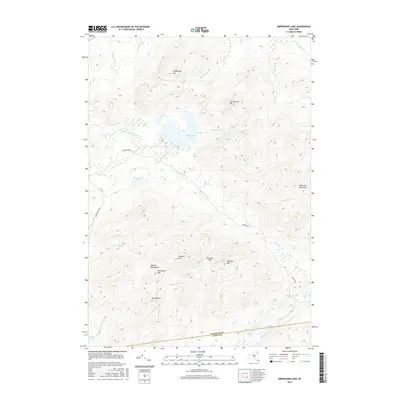
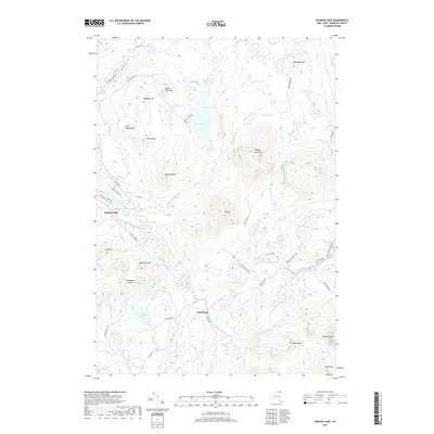
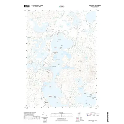
1978 Ampersand Lake
Franklin County, NY

1978 Bloomingdale
Franklin County, NY

1979 Saint Regis Mtn
Franklin County, NY

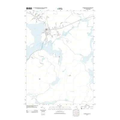
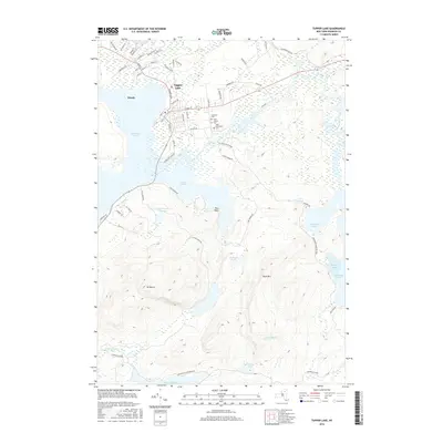
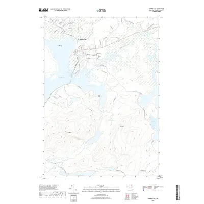
1979 Tupper Lake
Franklin County, NY

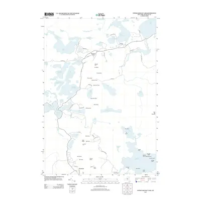
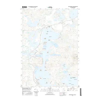
1979 Upper Saranac Lake
Franklin County, NY

1985 Massena
Franklin County, NY

1993 Burke
Franklin County, NY

1993 Chateaugay
Franklin County, NY

1993 Constable
Franklin County, NY

1993 Fort Covington
Franklin County, NY

1994 Massena
Franklin County, NY

1999 Ampersand Lake
Franklin County, NY

1999 Bloomingdale
Franklin County, NY

1999 Saint Regis Mtn.
Franklin County, NY

1999 Tupper Lake
Franklin County, NY

1999 Upper Saranac Lake
Franklin County, NY

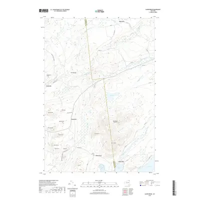
2010 Alder Brook
Franklin County, NY
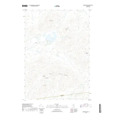
2010 Ampersand Lake
Franklin County, NY

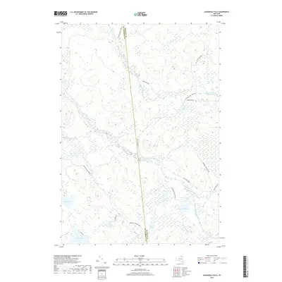
2010 Augerhole Falls
Franklin County, NY

2010 Bangor
Franklin County, NY
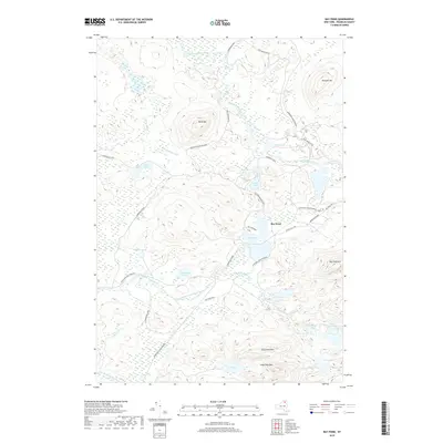
2010 Bay Pond
Franklin County, NY
2010 Bloomingdale
Franklin County, NY

2010 Bombay
Franklin County, NY

2010 Brainardsville
Franklin County, NY

2010 Chasm Falls
Franklin County, NY

2010 Chateaugay
Franklin County, NY

2010 Constable
Franklin County, NY

2010 Debar Mountain
Franklin County, NY

2010 Derrick
Franklin County, NY

2010 Fort Covington
Franklin County, NY

2010 Franklin Falls
Franklin County, NY

2010 Gabriels
Franklin County, NY
2010 Lake Ozonia
Franklin County, NY

2010 Lake Titus
Franklin County, NY
2010 Loon Lake
Franklin County, NY

2010 Malone
Franklin County, NY

2010 Meacham Lake
Franklin County, NY

2010 Meno
Franklin County, NY

2010 Owls Head
Franklin County, NY
2010 Ragged Lake
Franklin County, NY

2010 Saint Regis Falls
Franklin County, NY

2010 Saint Regis Mountain
Franklin County, NY

2010 Santa Clara
Franklin County, NY
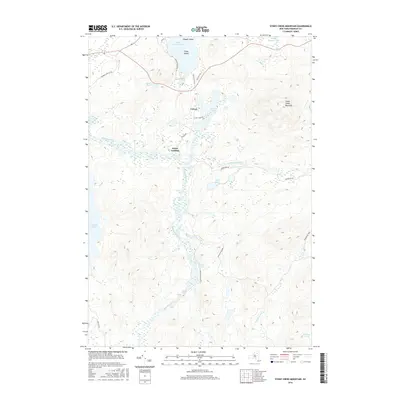
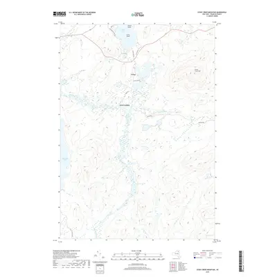
2010 Stony Creek Mountain
Franklin County, NY
2010 Tupper Lake
Franklin County, NY

2010 Upper Saranac Lake
Franklin County, NY

2011 Burke
Franklin County, NY

2013 Alder Brook
Franklin County, NY
2013 Ampersand Lake
Franklin County, NY
2013 Augerhole Falls
Franklin County, NY

2013 Bangor
Franklin County, NY
2013 Bay Pond
Franklin County, NY
2013 Bloomingdale
Franklin County, NY

2013 Bombay
Franklin County, NY

2013 Brainardsville
Franklin County, NY

2013 Burke
Franklin County, NY

2013 Chasm Falls
Franklin County, NY

2013 Chateaugay
Franklin County, NY

2013 Constable
Franklin County, NY
2013 Debar Mountain
Franklin County, NY

2013 Derrick
Franklin County, NY

2013 Fort Covington
Franklin County, NY

2013 Franklin Falls
Franklin County, NY

2013 Gabriels
Franklin County, NY
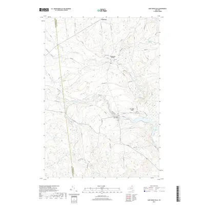
2013 Hogansburg OE N
Franklin County, NY
2013 Lake Ozonia
Franklin County, NY

2013 Lake Titus
Franklin County, NY
2013 Loon Lake
Franklin County, NY

2013 Malone
Franklin County, NY
2013 Meacham Lake
Franklin County, NY
2013 Meno
Franklin County, NY

2013 Owls Head
Franklin County, NY
2013 Ragged Lake
Franklin County, NY
2013 Saint Regis Falls
Franklin County, NY

2013 Saint Regis Mountain
Franklin County, NY

2013 Santa Clara
Franklin County, NY
2013 Stony Creek Mountain
Franklin County, NY
2013 Tupper Lake
Franklin County, NY
2013 Upper Saranac Lake
Franklin County, NY
2016 Alder Brook
Franklin County, NY
2016 Ampersand Lake
Franklin County, NY
2016 Augerhole Falls
Franklin County, NY

2016 Bangor
Franklin County, NY
2016 Bay Pond
Franklin County, NY
2016 Bloomingdale
Franklin County, NY

2016 Bombay
Franklin County, NY

2016 Brainardsville
Franklin County, NY

2016 Burke
Franklin County, NY

2016 Chasm Falls
Franklin County, NY

2016 Chateaugay
Franklin County, NY

2016 Constable
Franklin County, NY
2016 Debar Mountain
Franklin County, NY

2016 Derrick
Franklin County, NY

2016 Fort Covington
Franklin County, NY
2016 Franklin Falls
Franklin County, NY

2016 Gabriels
Franklin County, NY
2016 Hogansburg OE N
Franklin County, NY
2016 Lake Ozonia
Franklin County, NY

2016 Lake Titus
Franklin County, NY
2016 Loon Lake
Franklin County, NY

2016 Malone
Franklin County, NY
2016 Meacham Lake
Franklin County, NY
2016 Meno
Franklin County, NY

2016 Owls Head
Franklin County, NY
2016 Ragged Lake
Franklin County, NY
2016 Saint Regis Falls
Franklin County, NY

2016 Saint Regis Mountain
Franklin County, NY
2016 Santa Clara
Franklin County, NY
2016 Stony Creek Mountain
Franklin County, NY
2016 Tupper Lake
Franklin County, NY
2016 Upper Saranac Lake
Franklin County, NY
2019 Alder Brook
Franklin County, NY
2019 Ampersand Lake
Franklin County, NY
2019 Augerhole Falls
Franklin County, NY

2019 Bangor
Franklin County, NY
2019 Bay Pond
Franklin County, NY
2019 Bloomingdale
Franklin County, NY

2019 Bombay
Franklin County, NY

2019 Brainardsville
Franklin County, NY

2019 Burke
Franklin County, NY

2019 Chasm Falls
Franklin County, NY

2019 Chateaugay
Franklin County, NY

2019 Constable
Franklin County, NY
2019 Debar Mountain
Franklin County, NY

2019 Derrick
Franklin County, NY

2019 Fort Covington
Franklin County, NY
2019 Franklin Falls
Franklin County, NY

2019 Gabriels
Franklin County, NY
2019 Hogansburg OE N
Franklin County, NY
2019 Lake Ozonia
Franklin County, NY

2019 Lake Titus
Franklin County, NY
2019 Loon Lake
Franklin County, NY

2019 Malone
Franklin County, NY
2019 Meacham Lake
Franklin County, NY
2019 Meno
Franklin County, NY

2019 Owls Head
Franklin County, NY
2019 Ragged Lake
Franklin County, NY
2019 Saint Regis Falls
Franklin County, NY

2019 Saint Regis Mountain
Franklin County, NY
2019 Santa Clara
Franklin County, NY
2019 Stony Creek Mountain
Franklin County, NY
2019 Tupper Lake
Franklin County, NY
2019 Upper Saranac Lake
Franklin County, NY

2023 Alder Brook
Franklin County, NY

2023 Ampersand Lake
Franklin County, NY

2023 Augerhole Falls
Franklin County, NY

2023 Bangor
Franklin County, NY

2023 Bay Pond
Franklin County, NY

2023 Bloomingdale
Franklin County, NY

2023 Bombay
Franklin County, NY

2023 Brainardsville
Franklin County, NY

2023 Burke
Franklin County, NY

2023 Chasm Falls
Franklin County, NY

2023 Chateaugay
Franklin County, NY

2023 Constable
Franklin County, NY

2023 Debar Mountain
Franklin County, NY

2023 Derrick
Franklin County, NY

2023 Fort Covington
Franklin County, NY

2023 Franklin Falls
Franklin County, NY

2023 Gabriels
Franklin County, NY

2023 Hogansburg OE N
Franklin County, NY

2023 Lake Ozonia
Franklin County, NY

2023 Lake Titus
Franklin County, NY

2023 Loon Lake
Franklin County, NY

2023 Malone
Franklin County, NY

2023 Meacham Lake
Franklin County, NY

2023 Meno
Franklin County, NY

2023 Owls Head
Franklin County, NY

2023 Ragged Lake
Franklin County, NY

2023 Saint Regis Falls
Franklin County, NY

2023 Saint Regis Mountain
Franklin County, NY

2023 Santa Clara
Franklin County, NY

2023 Stony Creek Mountain
Franklin County, NY

2023 Tupper Lake
Franklin County, NY

2023 Upper Saranac Lake
Franklin County, NY