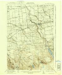
1915 Map of Chateaugay
USGS Topo · Published 1939About this map
Chateaugay and the surrounding borderlands of Franklin and Clinton Counties are defined here by a dense network of early 20th-century rural infrastructure. This 1912-1913 survey illustrates the prominence of small-scale industry and education in northern New York, featuring an exceptional concentration of numbered schoolhouses such as School No. 17 and School No. 14. Industrial activity is marked by Cooks Mill, Boyce Mill, and specialized structures like Whites Kiln. The terrain transitions from the agricultural flats near Coveytown Corners and Sun to the dramatic geography of Chateaugay Chasm and the ascent toward Figure Eight Mountain. Transportation is anchored by the Rutland Railroad and the Ogdensburg Division, which connect the settlements of Burke and Brainardsville to the wider region just south of the international boundary line.
Find a feature on this map
77 named features on this map. Tap any name to fly to it.
Don’t see what you’re looking for? This feature index may not catch every label — zoom into the map to look around manually.
Map Details
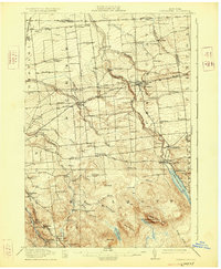
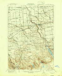
Editions of this 1915 Chateaugay Map
4 editions found
Other maps of this area

1906 · Loon Lake
USGS Topo · 1:62,500

1908 · Loon Lake
USGS Topo · 1:62,500

1911 · Lyon Mountain
USGS Topo · 1:62,500

1913 · Lyon Mountain
USGS Topo · 1:62,500

1915 · Churubusco
USGS Topo · 1:62,500

1915 · Chateaugay
USGS Topo · 1:62,500

1915 · Malone
USGS Topo · 1:62,500

1917 · Malone
USGS Topo · 1:62,500

1921 · Santa Clara
USGS Topo · 1:62,500

1923 · Santa Clara
USGS Topo · 1:62,500