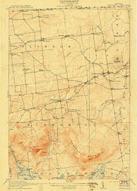
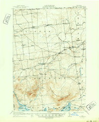
1915 Map of Churubusco
USGS Topo · Published 1915About this map
The United States Canada Boundary Line defines the northern edge of this Clinton County landscape, where small agricultural and railway settlements thrived before the First World War. The Rutland R R (Ogdensburg Division) serves as the primary corridor for commerce, connecting Churubusco, Clinton Mills, and Ellenburg Depot. This era is marked by a dense network of local education, with nearly twenty distinct schoolhouses scattered across the townships, including the Liberty Pole School, Steam Mill School, and Fahey School. In the southern half of the map, the terrain rises sharply toward Ellenburg Mountain, overlooking the waters of Chazy Lake and Upper Chateaugay Lake. These highlands are characterized by family-named peaks like Hazeltine Hill and Panther Hill, and the remote Halfway House located along the road east of the mountain range.
Find a feature on this map
69 named features on this map. Tap any name to fly to it.
Don’t see what you’re looking for? This feature index may not catch every label — zoom into the map to look around manually.
Map Details
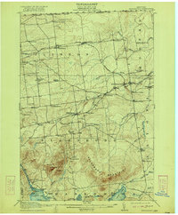
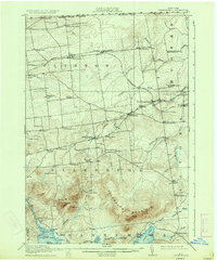
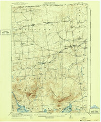
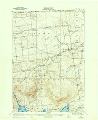
Editions of this 1915 Churubusco Map
7 editions found
Other maps of this area

1895 · Mooers
USGS Topo · 1:62,500

1899 · Mooers
USGS Topo · 1:62,500

1906 · Loon Lake
USGS Topo · 1:62,500

1908 · Loon Lake
USGS Topo · 1:62,500

1911 · Lyon Mountain
USGS Topo · 1:62,500

1913 · Dannemora
USGS Topo · 1:62,500

1913 · Lyon Mountain
USGS Topo · 1:62,500

1915 · Churubusco
USGS Topo · 1:62,500

1915 · Chateaugay
USGS Topo · 1:62,500

1931 · Lyon Mountain
USGS Topo · 1:62,500