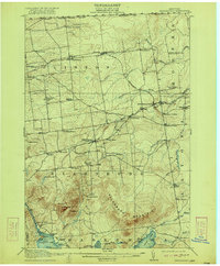
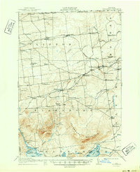
1915 Map of Churubusco
USGS Topo · Published 1922About this map
Ellenburg Mountain dominates the southern landscape of this 1912 survey, where the heavy timber and high elevations give way to the rural townships of Ellenburg and Clinton. The northern border is defined by the United States Canada Boundary Line, with the settlement of Frontier sitting just below the international division. This era shows a densely settled agrarian and early industrial network, marked by an extraordinary number of one-room schoolhouses such as Liberty Pole School, Steam Mill School, and Fernwood School.
Find a feature on this map
69 named features on this map. Tap any name to fly to it.
Don’t see what you’re looking for? This feature index may not catch every label — zoom into the map to look around manually.
Map Details
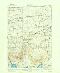
Editions of this 1915 Churubusco Map
7 editions found
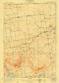
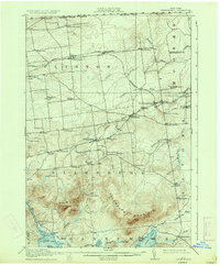
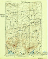
Other maps of this area

1895 · Mooers
USGS Topo · 1:62,500

1899 · Mooers
USGS Topo · 1:62,500

1906 · Loon Lake
USGS Topo · 1:62,500

1908 · Loon Lake
USGS Topo · 1:62,500

1911 · Lyon Mountain
USGS Topo · 1:62,500

1913 · Dannemora
USGS Topo · 1:62,500

1913 · Lyon Mountain
USGS Topo · 1:62,500

1915 · Churubusco
USGS Topo · 1:62,500

1915 · Chateaugay
USGS Topo · 1:62,500

1931 · Lyon Mountain
USGS Topo · 1:62,500