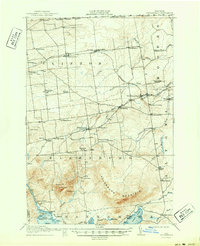
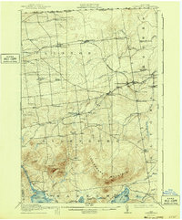
1915 Map of Churubusco
USGS Topo · Published 1950About this map
Churubusco and its surrounding dairy and timber lands are situated along the international border in this 1912 survey, where the Rutland RR skirts the edge of Ellenburg Mountain. The landscape is defined by a dense network of district schools, such as the Steam Mill School, Gregory School, and Boomhower School, illustrating the decentralized rural education system of Clinton County before mid-century consolidation.
Find a feature on this map
69 named features on this map. Tap any name to fly to it.
Don’t see what you’re looking for? This feature index may not catch every label — zoom into the map to look around manually.
Map Details
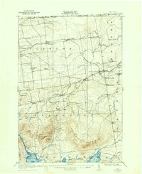
Editions of this 1915 Churubusco Map
7 editions found
Other maps of this area

1895 · Mooers
USGS Topo · 1:62,500

1899 · Mooers
USGS Topo · 1:62,500

1906 · Loon Lake
USGS Topo · 1:62,500

1908 · Loon Lake
USGS Topo · 1:62,500

1911 · Lyon Mountain
USGS Topo · 1:62,500

1913 · Dannemora
USGS Topo · 1:62,500

1913 · Lyon Mountain
USGS Topo · 1:62,500

1915 · Churubusco
USGS Topo · 1:62,500

1915 · Chateaugay
USGS Topo · 1:62,500

1931 · Lyon Mountain
USGS Topo · 1:62,500