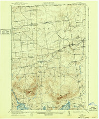
1915 Map of Churubusco
USGS Topo · Published 1943About this map
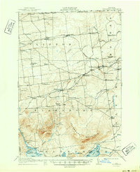
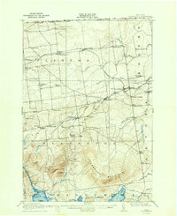
Churubusco and its surrounding dairy and timber lands sit at the edge of the Adirondacks, just south of the United States Canada boundary line. This 1915 survey reveals a densely populated rural landscape defined by an extensive network of small district schools, such as the Liberty Pole School and Steam Mill School, which served the scattered farming families of Clinton County. The Rutland Railroad cuts through the northern tier, anchoring settlements like Clinton Mills and Ellenburg Depot, where commerce met the rails. To the south, the terrain rises sharply into Ellenburg Mountain, looming over the glacial waters of Chazy Lake and Upper Chateaugay Lake. The map details the early 20th-century road system connecting remote hamlets like Frontier and Ellenburg Center, providing a clear look at the region's human geography before modern highway consolidation.
Find a feature on this map
67 named features on this map. Tap any name to fly to it.
Don’t see what you’re looking for? This feature index may not catch every label — zoom into the map to look around manually.
Map Details
Editions of this 1915 Churubusco Map
7 editions found
Other maps of this area

1895 · Mooers
USGS Topo · 1:62,500

1899 · Mooers
USGS Topo · 1:62,500

1906 · Loon Lake
USGS Topo · 1:62,500

1908 · Loon Lake
USGS Topo · 1:62,500

1911 · Lyon Mountain
USGS Topo · 1:62,500

1913 · Dannemora
USGS Topo · 1:62,500

1913 · Lyon Mountain
USGS Topo · 1:62,500

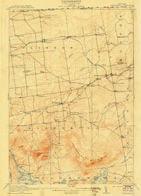
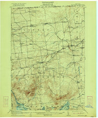
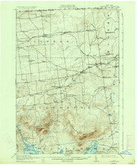
1915 · Churubusco
USGS Topo · 1:62,500

1915 · Chateaugay
USGS Topo · 1:62,500

1931 · Lyon Mountain
USGS Topo · 1:62,500