
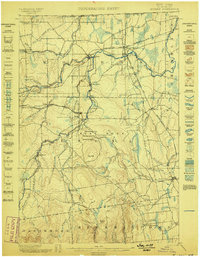
1942 Map of Mooers
USGS Topo · Published 1956About this map
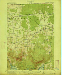
The northern edge of Clinton County meets the international border at the Canada United States line, where the village of Mooers stands as a gateway along the Rutland railroad. During the early 1940s, the landscape was a mosaic of agricultural clearings and dense wooded hills, punctuated by rural settlements like Mooers Forks and Woods Falls. The Great Chazy River and its North Branch dominate the northern drainage, while the southern terrain rises sharply toward Rand Hill and Big Hill in the town of Dannemora.
Find a feature on this map
63 named features on this map. Tap any name to fly to it.
Don’t see what you’re looking for? This feature index may not catch every label — zoom into the map to look around manually.
Map Details
Editions of this 1942 Mooers Map
This is the sole edition of this map. No revisions or reprints were ever made.
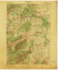
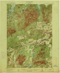
Other maps of this area

1894 · Plattsburg
USGS Topo · 1:62,500

1895 · Mooers
USGS Topo · 1:62,500

1895 · Rouse Point
USGS Topo · 1:62,500
1899 · Mooers
USGS Topo · 1:62,500

1906 · Plattsburg
USGS Topo · 1:62,500

1907 · Rouse Point
USGS Topo · 1:62,500
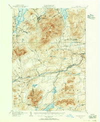
1911 · Lyon Mountain
USGS Topo · 1:62,500
1913 · Dannemora
USGS Topo · 1:62,500
1913 · Lyon Mountain
USGS Topo · 1:62,500
1915 · Churubusco
USGS Topo · 1:62,500