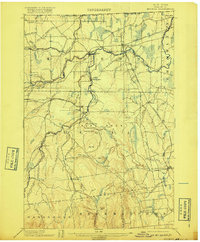
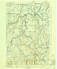
1899 Map of Mooers
USGS Topo · Published 1917About this map
The United States Dominion of Canada border defines the northern edge of this Clinton County landscape, where the Great Chazy River and its numerous branches dictate the pattern of early northern New York settlement. Surveyed in the 1890s, the map reveals a rail-centric economy anchored by the Rutland RR and the Delaware and Hudson RR (Mooers Branch), which intersect at Mooers Junction. Local industry and small-scale processing are evident at locations like Purdy Mill and Woods Falls, while the southern reaches of the quadrangle rise toward Rand Hill. Genealogists may find interest in small communities and named locations such as Jerusalem, Jericho, and Alder Bend, or the curiosities of the Flat Rock Ridge area, which includes the colorfully named Rattlesnake Den and Leadmine Gully.
Find a feature on this map
70 named features on this map. Tap any name to fly to it.
Don’t see what you’re looking for? This feature index may not catch every label — zoom into the map to look around manually.
Map Details
Editions of this 1899 Mooers Map
6 editions found
Other maps of this area

1894 · Plattsburg
USGS Topo · 1:62,500

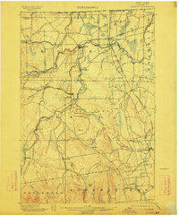
1895 · Mooers
USGS Topo · 1:62,500

1895 · Rouse Point
USGS Topo · 1:62,500

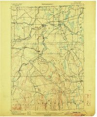
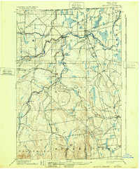
1899 · Mooers
USGS Topo · 1:62,500

1906 · Plattsburg
USGS Topo · 1:62,500

1907 · Rouse Point
USGS Topo · 1:62,500

1911 · Lyon Mountain
USGS Topo · 1:62,500

1913 · Dannemora
USGS Topo · 1:62,500

1913 · Lyon Mountain
USGS Topo · 1:62,500

1915 · Churubusco
USGS Topo · 1:62,500