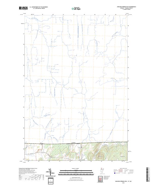
2024 Map of Sheldon Springs OE N
USGS Topo · Published 2024About this map
The international boundary between Canada and the United States of America defines the southern landscape of this Franklin County quadrangle. At the small border settlement of Morses Line, local roads like Morses Line Rd and Rainville Rd connect the rural northern Vermont terrain to the Canadian border. The area is characterized by high ground such as Minister Hill and Shingle Hill, which overlook a dense network of watercourses. Numerous streams with French-influenced names, including Ruisseau Dutch-Street, Ruisseau Martindale-Montagne, and Ruisseau des Cèdres, flow northward toward the Rivière aux Brochets. For local historians, the Briggs Cem remains a notable landmark near the base of these hills, marking the early settlement patterns of this frontier region.
Find a feature on this map
26 named features on this map. Tap any name to fly to it.
Don’t see what you’re looking for? This feature index may not catch every label — zoom into the map to look around manually.
Map Details
Editions of this 2024 Sheldon Springs OE N Map
This is the sole edition of this map. No revisions or reprints were ever made.
Other maps of this area

1914 · St. Albans
USGS Topo · 1:48,000

1916 · St. Albans
USGS Topo · 1:62,500

1920 · Franklin Pond
USGS Topo · 1:62,500

1922 · Enosburg Falls
USGS Topo · 1:48,000

1924 · Enosburg Falls
USGS Topo · 1:62,500

1943 · St. Albans
USGS Topo · 1:62,500

1944 · Enosburg Falls
USGS Topo · 1:62,500

1950 · Lake Champlain
USGS Topo · 1:250,000
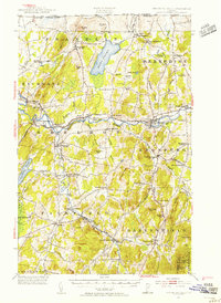
1953 · Enosburg Falls
USGS Topo · 1:62,500

1958 · Lake Champlain
USGS Topo · 1:250,000