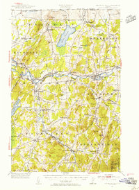
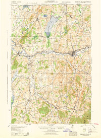
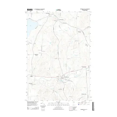
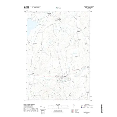
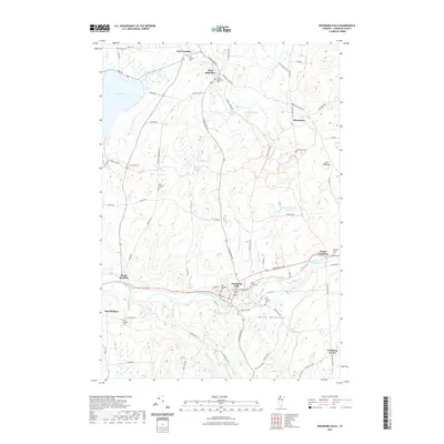
1953 Map of Enosburg Falls
USGS Topo · Published 1955About this map
Missisquoi River drainage patterns define this mid-century view of Northern Vermont, where the Central Vermont railroad lines connect a series of industrial and agricultural hubs. The map captures the village of Enosburg Falls as a primary center of activity, supported by outlying settlements like Bakersfield and Sheldon Springs. Significant local industry is noted at Gilberts Tannery near the Bogue Branch, while the social fabric of the era is preserved through numerous named rural schools, including the Pumpkin Village School and Callan School.
Find a feature on this map
102 named features on this map. Tap any name to fly to it.
Don’t see what you’re looking for? This feature index may not catch every label — zoom into the map to look around manually.
Map Details
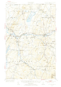
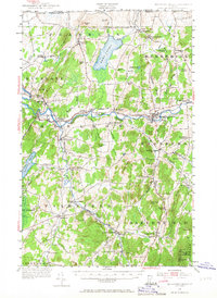
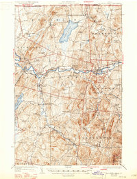
Editions of this 1953 Enosburg Falls Map
4 editions found
Historical Maps of Swanton Through Time
9 maps found
1924 Enosburg Falls
Franklin County, VT
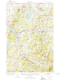
1944 Enosburg Falls
Franklin County, VT
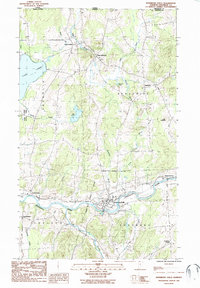
1953 Enosburg Falls
Franklin County, VT
1986 Enosburg Falls
Franklin County, VT
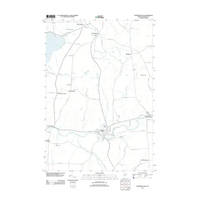
2012 Enosburg Falls
Franklin County, VT
2015 Enosburg Falls
Franklin County, VT
2018 Enosburg Falls
Franklin County, VT
2021 Enosburg Falls
Franklin County, VT
2024 Enosburg Falls
Franklin County, VT