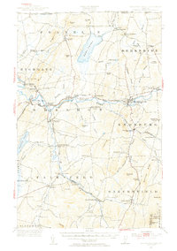
1953 Map of Enosburg Falls
USGS Topo · Published 1955About this map
Missisquoi River valley serves as the central artery for this northern Vermont region, where the Central Vermont and ST Johnsbury And Lake Champlain railroads intersect at Sheldon Junction. The landscape is a complex network of dairy-farming settlements and rural infrastructure, anchored by the industrial center of Enosburg Falls and smaller villages like Fairfield. Local history is deeply etched into the terrain through numerous family-named landmarks and essential community structures, including Gilberts Tannery near Enosburg Center and the Pumpkin Village School. In the north, Lake Carmi stands as a significant natural feature surrounded by early survey divisions such as East Franklin and West Berkshire. The map also documents the international boundary at Morse Line, illustrating the close proximity of these Vermont townships to the Canada-United States border.
Find a feature on this map
109 named features on this map. Tap any name to fly to it.
Don’t see what you’re looking for? This feature index may not catch every label — zoom into the map to look around manually.
Map Details
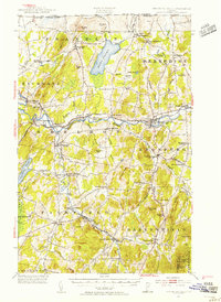
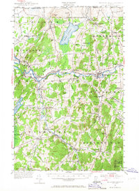
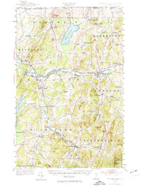
Editions of this 1953 Enosburg Falls Map
4 editions found
Other maps of this area

1913 · Milton
USGS Topo · 1:48,000

1914 · St. Albans
USGS Topo · 1:48,000

1915 · Milton
USGS Topo · 1:62,500

1916 · St. Albans
USGS Topo · 1:62,500

1919 · Montgomery
USGS Topo · 1:62,500

1920 · Franklin Pond
USGS Topo · 1:62,500

1920 · Montgomery
USGS Topo · 1:62,500

1922 · Enosburg Falls
USGS Topo · 1:48,000

1924 · Enosburg Falls
USGS Topo · 1:62,500

1925 · Jay Peak
USGS Topo · 1:62,500