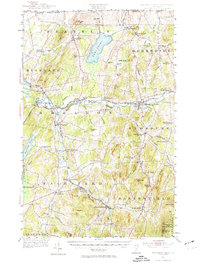
1953 Map of Enosburg Falls
USGS Topo · Published 1974About this map
The Missisquoi River carves a central path through this Franklin County landscape, serving as the industrial and transit corridor for mid-century northern Vermont. Enosburg Falls stands out as a primary population center, supported by a network of smaller agricultural hamlets like Bordoville, East Franklin, and Morses Line at the Canadian border. The era's transportation infrastructure is clearly defined by the Central Vermont and the St Johnsbury and Lake Champlain railroads, which connected these dairy and timber communities to broader markets.
Find a feature on this map
105 named features on this map. Tap any name to fly to it.
Don’t see what you’re looking for? This feature index may not catch every label — zoom into the map to look around manually.
Map Details
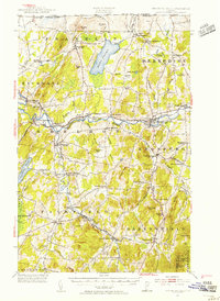
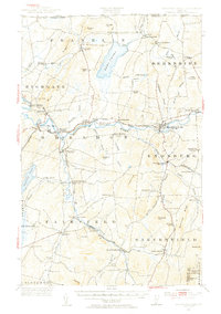
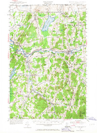
Editions of this 1953 Enosburg Falls Map
4 editions found
Other maps of this area

1913 · Milton
USGS Topo · 1:48,000

1914 · St. Albans
USGS Topo · 1:48,000

1915 · Milton
USGS Topo · 1:62,500

1916 · St. Albans
USGS Topo · 1:62,500

1919 · Montgomery
USGS Topo · 1:62,500

1920 · Franklin Pond
USGS Topo · 1:62,500

1920 · Montgomery
USGS Topo · 1:62,500

1922 · Enosburg Falls
USGS Topo · 1:48,000

1924 · Enosburg Falls
USGS Topo · 1:62,500

1925 · Jay Peak
USGS Topo · 1:62,500