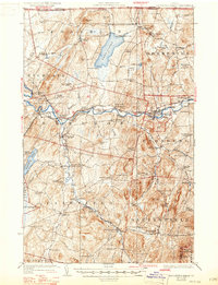
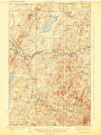
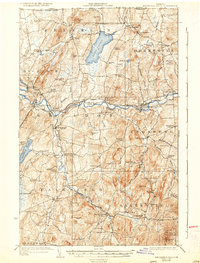
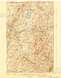
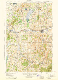
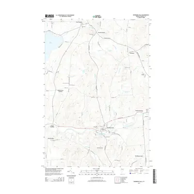
1924 Map of Enosburg Falls
USGS Topo · Published 1947About this map
Franklin and Enosburg townships define this borderland landscape during the early 1920s, showing a region of dense rural settlements and educational centers just south of the Canada-United States line. The Missisquoi River and Black Creek serve as the primary drainage for a terrain of named ridges like Butternut Ridge and Butternut Ridge, punctuated by prominent heights such as Little Pinnacle. Local industry and commerce are evidenced by Gilberts Tannery and the clustered village centers of Enosburg Falls and Sheldon Springs.
Find a feature on this map
106 named features on this map. Tap any name to fly to it.
Don’t see what you’re looking for? This feature index may not catch every label — zoom into the map to look around manually.
Map Details
Editions of this 1924 Enosburg Falls Map
5 editions found

Historical Maps of Swanton Through Time
9 maps found
1924 Enosburg Falls
Franklin County, VT
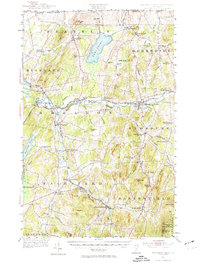
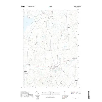
1944 Enosburg Falls
Franklin County, VT
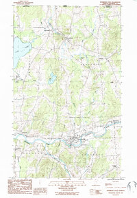
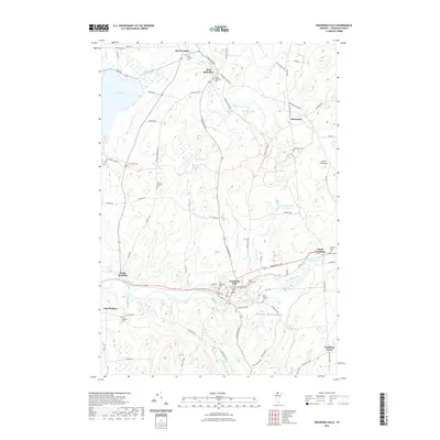
1953 Enosburg Falls
Franklin County, VT
1986 Enosburg Falls
Franklin County, VT
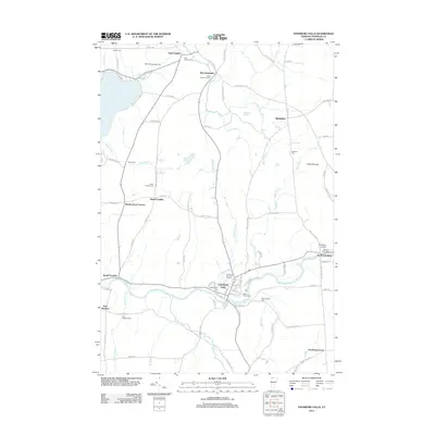
2012 Enosburg Falls
Franklin County, VT
2015 Enosburg Falls
Franklin County, VT
2018 Enosburg Falls
Franklin County, VT
2021 Enosburg Falls
Franklin County, VT
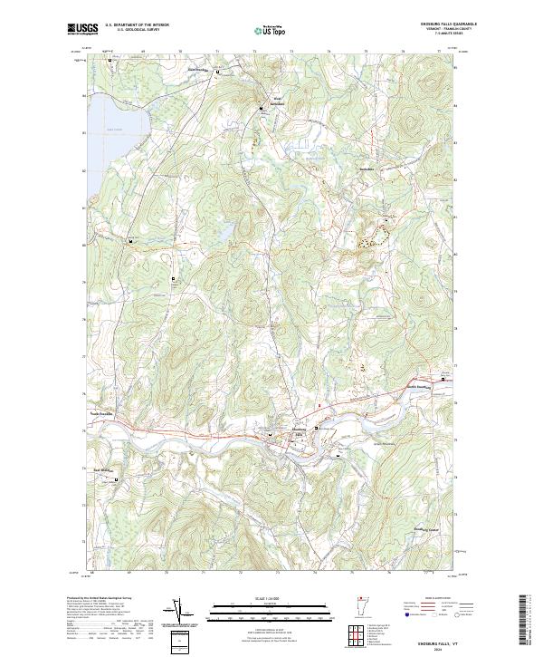
2024 Enosburg Falls
Franklin County, VT