
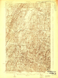
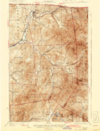
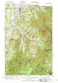
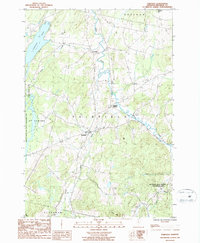
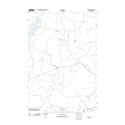
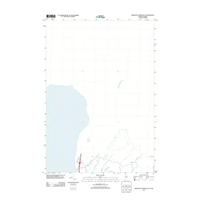
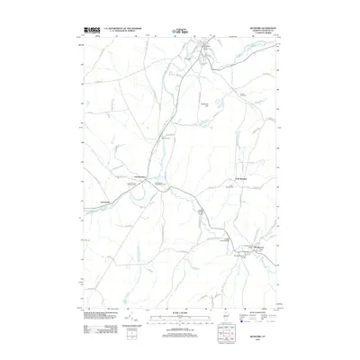
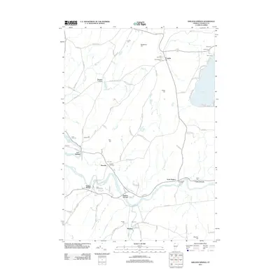
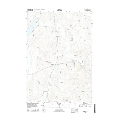
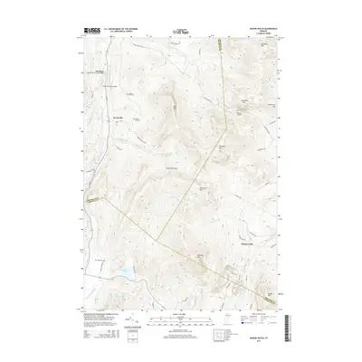
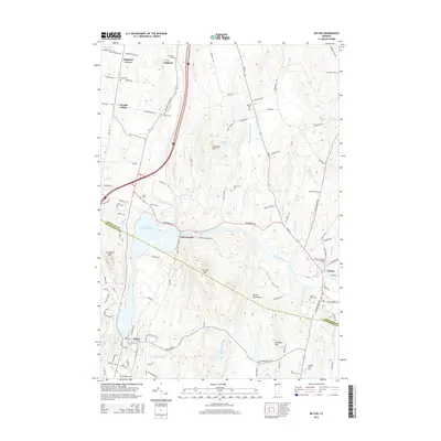
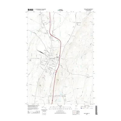
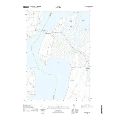
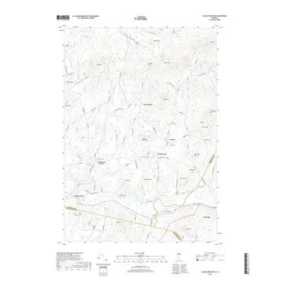
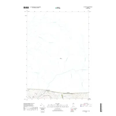
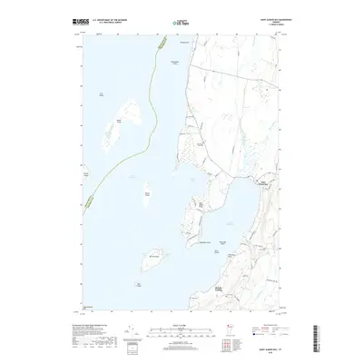
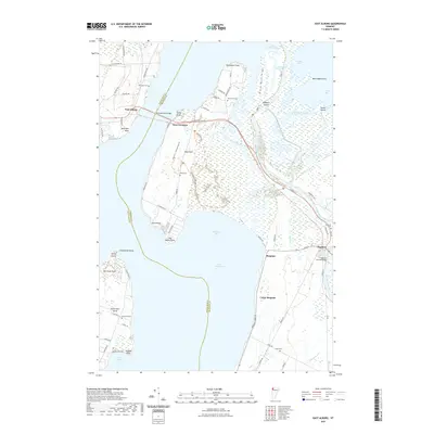
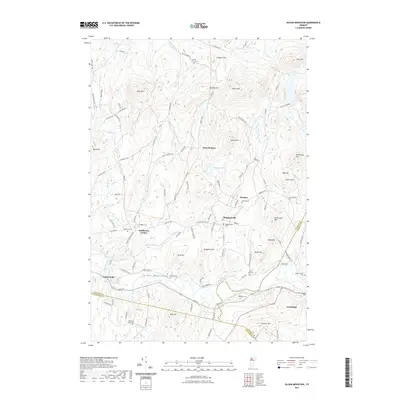
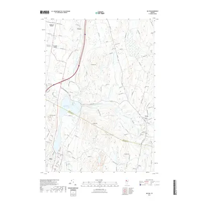
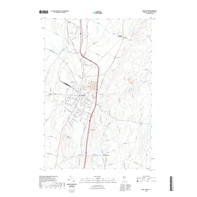
1986 Map of Richford
USGS Topo · Published 1987About this map
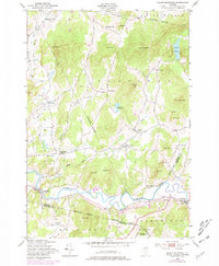
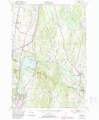
The Canada United States border defines the northern edge of this Vermont landscape, where the Missisquoi River meanders through the valley toward the town of Richford. This 1980s manuscript compilation documents a region shaped by its watercourses and small settlements, featuring the village of East Berkshire and the hamlet of Samsonville. The map records specific functional infrastructure of the era, including a Gaging Sta on the river and a Substation near the main town site.
Find a feature on this map
31 named features on this map. Tap any name to fly to it.
Don’t see what you’re looking for? This feature index may not catch every label — zoom into the map to look around manually.
Map Details
Editions of this 1986 Richford Map
This is the sole edition of this map. No revisions or reprints were ever made.
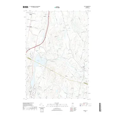
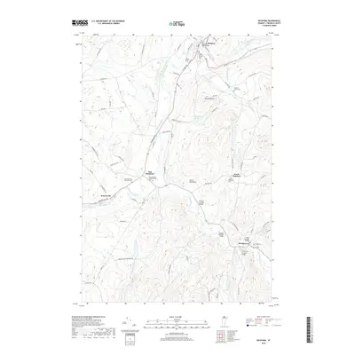
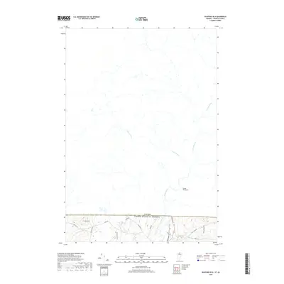
Historical Maps of Richford Through Time
108 maps found

1919 Montgomery
Franklin County, VT

1920 Franklin Pond
Franklin County, VT

1920 Montgomery
Franklin County, VT
1922 Franklin Pond
Franklin County, VT
1925 Jay Peak
Franklin County, VT

1943 Jay Peak
Franklin County, VT
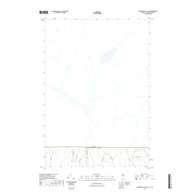
1948 Gilson Mountain
Franklin County, VT
1948 Milton
Franklin County, VT
1953 Jay Peak
Franklin County, VT
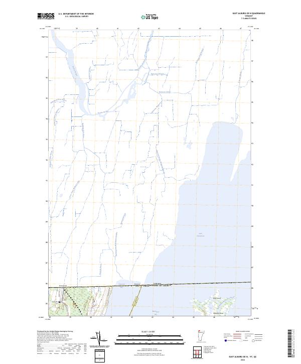
1964 East Alburg
Franklin County, VT
1964 St. Albans Bay
Franklin County, VT

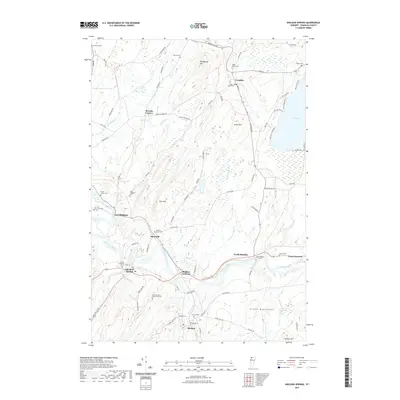
1977 Alburg Springs Station
Franklin County, VT

1977 East Richford Station
Franklin County, VT
1977 Highgate Springs Port Of Entry
Franklin County, VT

1977 Morses Line Station
Franklin County, VT

1977 Richford Port of Entry
Franklin County, VT

1977 West Berkshire Station
Franklin County, VT

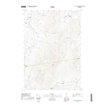
1986 Cold Hollow Mountains
Franklin County, VT
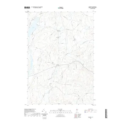
1986 Fairfield
Franklin County, VT

1986 Hazens Notch
Franklin County, VT

1986 Jay Peak
Franklin County, VT
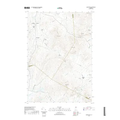
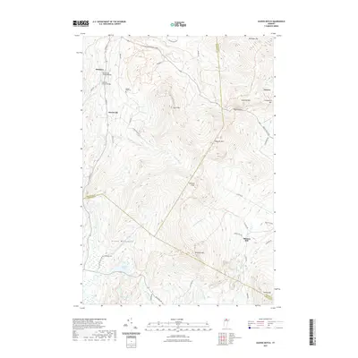
1986 Richford
Franklin County, VT

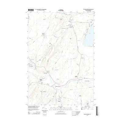
1986 Sheldon Springs
Franklin County, VT
2012 Cold Hollow Mountains
Franklin County, VT
2012 East Alburg
Franklin County, VT
2012 East Alburg OE N
Franklin County, VT
2012 Enosburg Falls OE N
Franklin County, VT
2012 Fairfield
Franklin County, VT
2012 Gilson Mountain
Franklin County, VT
2012 Hazens Notch
Franklin County, VT
2012 Highgate Center OE N
Franklin County, VT
2012 Jay Peak
Franklin County, VT
2012 Jay Peak OE N
Franklin County, VT
2012 Milton
Franklin County, VT
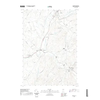
2012 Richford
Franklin County, VT
2012 Richford OE N
Franklin County, VT
2012 Saint Albans Bay
Franklin County, VT
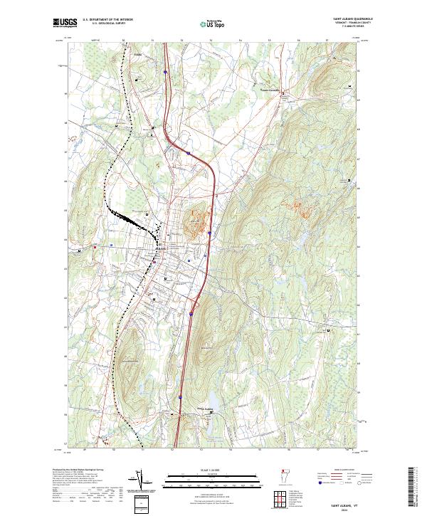
2012 Saint Albans
Franklin County, VT
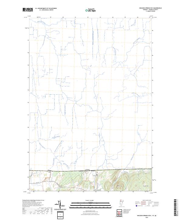
2012 Sheldon Springs
Franklin County, VT
2012 Sheldon Springs OE N
Franklin County, VT
2015 Cold Hollow Mountains
Franklin County, VT
2015 East Alburg
Franklin County, VT
2015 East Alburg OE N
Franklin County, VT
2015 Enosburg Falls OE N
Franklin County, VT
2015 Fairfield
Franklin County, VT
2015 Gilson Mountain
Franklin County, VT
2015 Hazens Notch
Franklin County, VT
2015 Highgate Center OE N
Franklin County, VT
2015 Jay Peak
Franklin County, VT
2015 Jay Peak OE N
Franklin County, VT
2015 Milton
Franklin County, VT
2015 Richford
Franklin County, VT
2015 Richford OE N
Franklin County, VT
2015 Saint Albans Bay
Franklin County, VT
2015 Saint Albans
Franklin County, VT
2015 Sheldon Springs
Franklin County, VT
2015 Sheldon Springs OE N
Franklin County, VT
2018 Cold Hollow Mountains
Franklin County, VT
2018 East Alburg
Franklin County, VT
2018 East Alburg OE N
Franklin County, VT
2018 Enosburg Falls OE N
Franklin County, VT
2018 Fairfield
Franklin County, VT
2018 Gilson Mountain
Franklin County, VT
2018 Hazens Notch
Franklin County, VT
2018 Highgate Center OE N
Franklin County, VT
2018 Jay Peak
Franklin County, VT
2018 Jay Peak OE N
Franklin County, VT
2018 Milton
Franklin County, VT
2018 Richford
Franklin County, VT
2018 Richford OE N
Franklin County, VT
2018 Saint Albans Bay
Franklin County, VT
2018 Saint Albans
Franklin County, VT
2018 Sheldon Springs
Franklin County, VT
2018 Sheldon Springs OE N
Franklin County, VT
2021 Cold Hollow Mountains
Franklin County, VT
2021 East Alburg
Franklin County, VT

2021 East Alburg OE N
Franklin County, VT
2021 Enosburg Falls OE N
Franklin County, VT
2021 Fairfield
Franklin County, VT
2021 Gilson Mountain
Franklin County, VT
2021 Hazens Notch
Franklin County, VT
2021 Highgate Center OE N
Franklin County, VT

2021 Jay Peak
Franklin County, VT
2021 Jay Peak OE N
Franklin County, VT
2021 Milton
Franklin County, VT
2021 Richford
Franklin County, VT
2021 Richford OE N
Franklin County, VT
2021 Saint Albans Bay
Franklin County, VT
2021 Saint Albans
Franklin County, VT
2021 Sheldon Springs
Franklin County, VT
2021 Sheldon Springs OE N
Franklin County, VT

2024 Cold Hollow Mountains
Franklin County, VT

2024 East Alburg
Franklin County, VT
2024 East Alburg OE N
Franklin County, VT

2024 Enosburg Falls OE N
Franklin County, VT
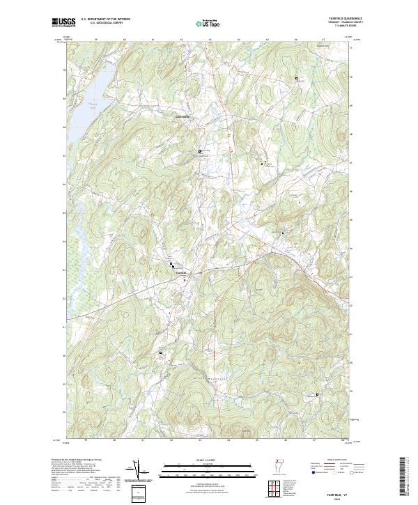
2024 Fairfield
Franklin County, VT

2024 Gilson Mountain
Franklin County, VT

2024 Hazens Notch
Franklin County, VT
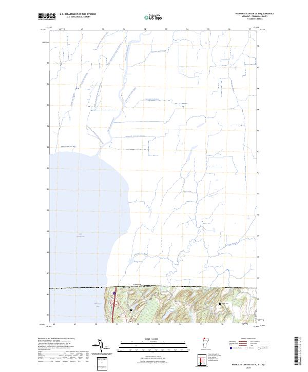
2024 Highgate Center OE N
Franklin County, VT

2024 Jay Peak
Franklin County, VT

2024 Jay Peak OE N
Franklin County, VT
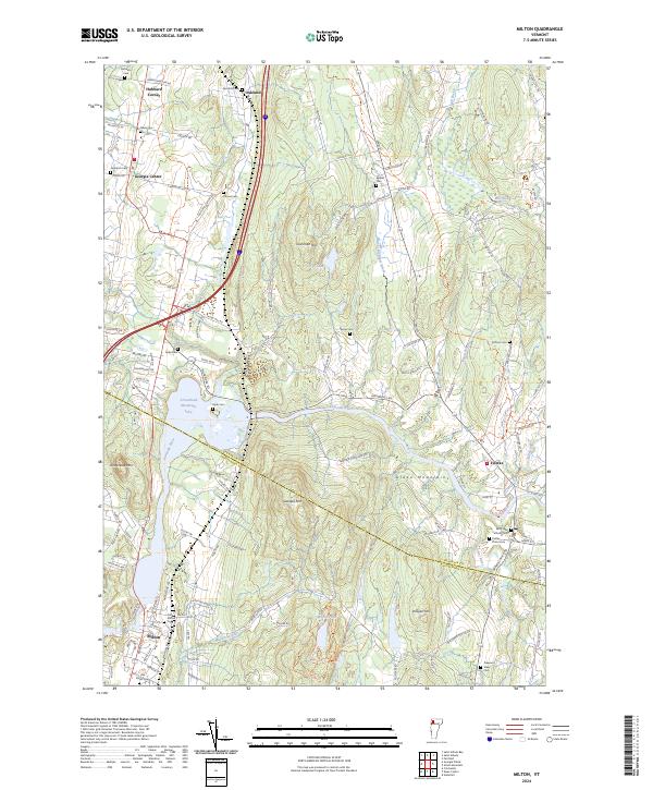
2024 Milton
Franklin County, VT

2024 Richford
Franklin County, VT
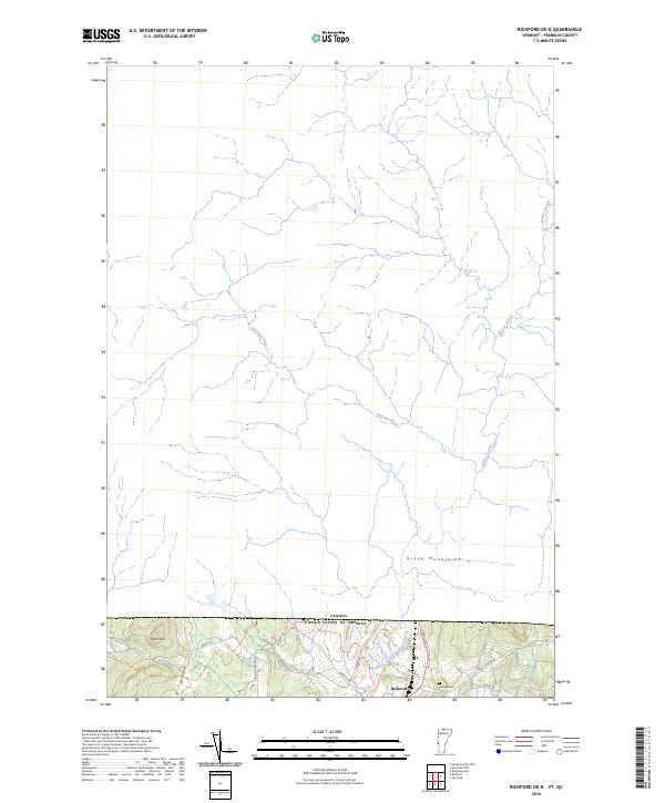
2024 Richford OE N
Franklin County, VT
2024 Saint Albans Bay
Franklin County, VT
2024 Saint Albans
Franklin County, VT

2024 Sheldon Springs
Franklin County, VT
2024 Sheldon Springs OE N
Franklin County, VT