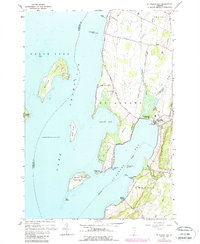
1964 Map of St. Albans Bay
USGS Topo · Published 1987About this map
Lake Champlain dominates the western half of this survey, defining a landscape of rocky points and scattered islands in the waters of Lapans Bay and St Albans Bay. The shoreline transition from the deep lake to the marshy lowlands is evident near St Albans Bay State Park and the mouth of the Mill River. These waterways supported a seasonal economy and local transport network, evidenced by the State Boat Dock and the cluster of activity at Melville Landing.
Find a feature on this map
41 named features on this map. Tap any name to fly to it.
Don’t see what you’re looking for? This feature index may not catch every label — zoom into the map to look around manually.
Map Details
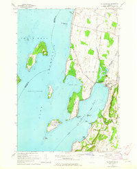
Editions of this 1964 St. Albans Bay Map
2 editions found
Other maps of this area

1894 · Plattsburg
USGS Topo · 1:62,500

1895 · Rouse Point
USGS Topo · 1:62,500

1906 · Plattsburg
USGS Topo · 1:62,500

1907 · Rouse Point
USGS Topo · 1:62,500

1913 · Milton
USGS Topo · 1:48,000

1914 · St. Albans
USGS Topo · 1:48,000

1915 · Milton
USGS Topo · 1:62,500

1916 · St. Albans
USGS Topo · 1:62,500

1939 · Rouses Point
USGS Topo · 1:62,500

1939 · Plattsburg
USGS Topo · 1:62,500