Old Maps of Brookfield, Vermont for Hiking & Exploration
Hike through history with 41 historic maps of Brookfield. Explore old trails, ghost towns, and forgotten backroads — perfect for outdoor adventurers and local explorers.
- Rediscover forgotten places: Map out old mining camps, roads, and footpaths that no longer exist on modern maps.
- Layer with modern tools: Combine with LiDAR or satellite views to plan hikes through historical terrain.
- Made for exploration: Popular among hikers, overlanders, and local history lovers.
Use these maps to find adventure and explore the hidden past of Brookfield.
Brookfield, VT maps
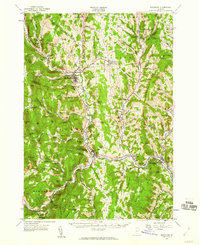
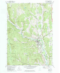
(41)- 1919 Map of Royalton
 1919 Royalton1919 Print · USGSCentral Vermont in the aftermath of the Great War reveals a landscape of thriving hill farms and river-valley rail towns. Genealogists can trace family roots through numerous rural landmarks like Waldo Corners, Wilson School, and the Central Vermont R.R. corridor.
 - 1922 Map of Barre
 1922 Barre1922 Print · USGSCentral Vermont in the early 1920s is revealed as a bustling landscape of granite quarries, hillside farms, and the historic Norwich University campus. Genealogists and historians can trace district schoolhouses, remote cemeteries like West Hill Cemetery, and industrial landmarks including the Talc Mine and numerous quarries.
 - 1924 Map of Barre
 1924 Barre1924 Print · USGSVermont's granite country and the Dog River valley are captured here in the mid-1920s, showing the early industrial roots of the region. Researchers can locate dozens of district schools, the Norwich University campus, and local industry sites like the Washington Granite Co and the Talc Mine.5 unique versions available
 - 1924 Map of Randolph
 1924 Randolph1924 Print · USGSMid-Vermont in the mid-1920s shows a landscape of river-valley commerce and mountain quarrying along the Central Vermont line. Genealogists can trace dozens of rural schoolhouses like Lost Nation School and Old Stone School, or locate the Bethel Granite Quarry.
 - 1926 Map of Randolph
 1926 Randolph1926 Print · USGSCentral Vermont in the mid-1920s was a landscape of river-valley rail hubs and upland hill farms. Genealogists can trace family names through dozens of schoolhouses like the Old Stone School or locate industrial sites like the Bethel Granite Quarry.5 unique versions available
 - 1950 Map of Glens Falls
 1950 Glens Falls1950 Print · USGSThe Adirondacks and the Green Mountains meet in this mid-century survey of the New York and Vermont borderlands. Researchers can trace the industrial rail corridors of the Rutland RR and Delaware & Hudson RR connecting Glens Falls, Rutland, and the shores of Lake George.
 - 1950 Map of Lake Champlain
 1950 Lake Champlain1950 Print · USGSThe Lake Champlain valley and its surrounding peaks are captured in detail during the late 1940s, showing the vital rail and road connections between New York and Vermont. Researchers can trace the routes of the Central Vermont Railway or locate old industrial centers like Mineville and Witherbee.2 unique versions available
 - 1956 Map of Glens Falls, 1968 Print
 1956 Glens Falls1968 Print · USGSUpper New York and the Vermont mountains are captured here in the mid-fifties, showing the rugged rail-and-river network of the Northeast. Researchers can trace the paths of the Delaware and Hudson RR and Rutland RR as they wind through valley towns like Poultney and Whitehall.3 unique versions available
 - 1957 Map of Randolph, 1960 Print
 1957 Randolph1960 Print · USGSThe White River valley in the late fifties shows a landscape defined by its rail-and-river network and agricultural education roots. Researchers can trace local genealogy through sites like Braintree Ch and Fairview Cem or locate vanished civic landmarks like the Drive-in Theater.3 unique versions available
 - 1957 Map of Barre, 1960 Print
 1957 Barre1960 Print · USGSCentral Vermont’s rugged spine is captured in the late fifties, showcasing the tight-knit valley towns and mountain camps of Washington County. Genealogists and historians can trace the Central Vermont rail line, find old schools like No 9 Sch, and locate the historic State Fish Hatchery near Roxbury.3 unique versions available
 - 1958 Map of Lake Champlain
 1958 Lake Champlain1958 Print · USGSThe Champlain Valley and surrounding high peaks are captured here in the late fifties, showcasing the cross-border region from the Adirondacks to the Green Mountains. Researchers can trace historic rail routes like the Rutland Railway or locate old valley settlements such as Keeseville and Vergennes.2 unique versions available
 - 1959 Map of Glens Falls
 1959 Glens Falls1959 Print · USGSUpper New York and Vermont are captured here during the late 1950s, a period of transition for these mountain communities. Researchers can trace the legacy of the region's river-and-rail economy through landmarks like Lake George, Saratoga Springs, and Killington Peak.2 unique versions available
 - 1962 Map of Lake Champlain, 1975 Print
 1962 Lake Champlain1975 Print · USGSLake Champlain and the high peaks of the Adirondacks and Green Mountains are captured here during the mid-twentieth century. Researchers can trace the industrial legacy of the Lyon Mountain Mine and the rail corridors of the Central Vermont RR and Delaware & Hudson RR.3 unique versions available
 - 1964 Map of Glens Falls
 1964 Glens Falls1964 Print · USGSThe tri-state borderlands of New York, Vermont, and New Hampshire appear here in the mid-1960s. Researchers can trace the rail routes of the Rutland RR and find historic sites like Ticonderoga and Saratoga National Historical Park.
 - 1980 Map of Brookfield, 1981 Print
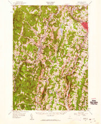
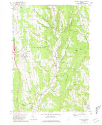
 1980 Brookfield1981 Print · USGSThe upland villages and mountain gaps of Orange County are documented here during the early 1980s. Researchers can trace local heritage through the Floating Bridge at Sunset Lake, several old burial grounds like Wiggins Cem, and landmarks such as St Edwards Ch.
 - 1980 Map of Roxbury, 1981 Print
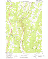
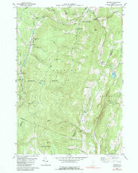
 1980 Roxbury1981 Print · USGSRoxbury and South Northfield are captured here in the early 1980s, showcasing the high-elevation settlements and rail corridors of central Vermont. Genealogists can locate the First Settler Cem, the Rabbit Hollow Sch, and family-named terrain like Belcher Hill.2 unique versions available
 - 1981 Map of Randolph
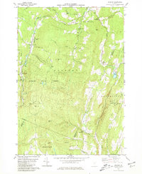
 1981 Randolph1981 Print · USGSThe Orange County hills and river valleys around Randolph are captured here in the early 1980s. Local researchers can trace the Central Vermont rail line and locate historic landmarks like the General Thomas Monument and Pleasant View Cem.2 unique versions available
 - 1981 Map of Randolph Center
 1981 Randolph Center1981 Print · USGSCentral Vermont in the late seventies reveals a landscape of ridge-top institutions and valley-floor hamlets. Trace family histories at Allen Cem or Kelsey Mtn Cem, and locate traditional landmarks like the Cilley Covered Bridge and Vermont Technical College.2 unique versions available
 - 1984 Map of Roxbury, 1991 Print
 1984 Roxbury1991 Print · USGSCentral Vermont's mountain valleys are captured here in the early 1980s, centered on the rail-linked settlements of Roxbury and South Northfield. Researchers can trace old family names at the Orcutt Cem or locate the State Fish Hatchery and Rabbit Hollow Sch.
 - 1985 Map of Rutland, 1988 Print
 1985 Rutland1988 Print · USGSThe Upper Valley of the mid-1980s comes to life along the winding Connecticut River as it divides the Green Mountain and Granite states. Historians can trace the industrial rail hubs of White River Junction and the paths of the Appalachian Trail and Long Trail.
 - 1988 Map of Montpelier
 1988 Montpelier1988 Print · USGSThe area surrounding Vermont’s capital city appears here during the early 1940s, showing the vital rail-and-river network. Genealogists can trace family names across a dozen district schools and rural sites like Middlesex Center and the Talc Mine.2 unique versions available
 - 2012 Map of Brookfield, 2012 Print
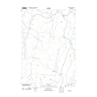
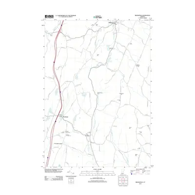 2012 Brookfield2012 Print · USGSCovers Brookfield, including Northfield, Williamstown, and other nearby areas
 - 2012 Map of Roxbury, 2012 Print
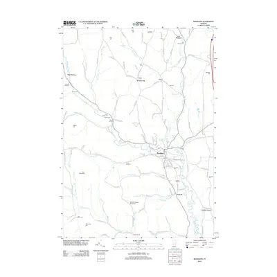
 2012 Roxbury2012 Print · USGSCovers Brookfield, including Northfield, Randolph, and other nearby areas
 - 2012 Map of Randolph, 2012 Print
 2012 Randolph2012 Print · USGSCovers Brookfield, including Randolph, Bethel, and other nearby areas
 - 2012 Map of Randolph Center, 2012 Print
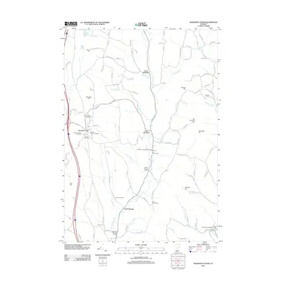 2012 Randolph Center2012 Print · USGSCovers Brookfield, including Randolph, Tunbridge, and other nearby areas
Showing maps 1-25 of 41
Top cities near Brookfield
- Barre historical maps
- Montpelier historical maps
- Northfield historical maps
- Randolph historical maps
- Williamstown historical maps
- Norwich historical maps
See more
Top neighborhoods of Brookfield
- Brookfield Center historical maps
- West Brookfield historical maps
- East Brookfield historical maps
- Brookfield Historic District historical maps
Frequently asked questions
- What are the different types of historical maps available for Brookfield?
- What is the oldest map of Brookfield?
- Where can I purchase historical maps of Brookfield for my home or office?
- Where can I download high-res historical maps of Brookfield?
- Are there historical topographic maps available for Brookfield?
- Is there historical aerial imagery available for Brookfield?
- Where are historical maps of Brookfield sourced from?