Old Maps of South Washington, Washington for Metal Detecting
Plan your next treasure hunt with 13 historic maps of South Washington. Find old homesites, ghost towns, trails, and gathering spots that may be lost to time — perfect for identifying promising metal detecting locations.
- Locate forgotten sites: Uncover places like long-lost settlements, abandoned rail lines, or gathering spots.
- Plan better hunts: Use map overlays combined with LiDAR or satellite views to narrow in on historically rich areas.
- Made for detectorists: Thousands of hobbyists use these maps to discover relics, coins, and hidden history.
Use these historic maps to boost your research and find new opportunities beneath the surface of South Washington.
South Washington, Washington maps
(13)- 1947 Map of Corinth
 1947 Corinth1947 Print · USGSThe granite quarrying region of Vermont is captured here just after the war, showing the industrial density of the hills. Genealogists can trace family roots through numerous local landmarks like Wilson Cem, Miles Sch, and settlements such as Goose Green and Websterville.
 - 1948 Map of East Barre
 1948 East Barre1948 Print · USGSCentral Vermont's quarrying and timber lands are captured here just after the war, showing the industrial centers of the Knox Mountains area. Genealogists can trace family roots through numerous remote burial grounds like Hutchinson Cem and schoolhouses such as Quarry Sch.2 unique versions available
 - 1950 Map of Lake Champlain
 1950 Lake Champlain1950 Print · USGSThe Lake Champlain valley and its surrounding peaks are captured in detail during the late 1940s, showing the vital rail and road connections between New York and Vermont. Researchers can trace the routes of the Central Vermont Railway or locate old industrial centers like Mineville and Witherbee.2 unique versions available
 - 1957 Map of East Barre, 1959 Print
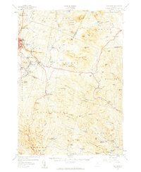 1957 East Barre1959 Print · USGSThe granite industry and deep woodland of central Vermont are on display in the mid-fifties. Genealogists can trace family lines through Wilson Cem or locate the Quarry Sch near Upper Graniteville.4 unique versions available
 - 1958 Map of Lake Champlain
 1958 Lake Champlain1958 Print · USGSThe Champlain Valley and surrounding high peaks are captured here in the late fifties, showcasing the cross-border region from the Adirondacks to the Green Mountains. Researchers can trace historic rail routes like the Rutland Railway or locate old valley settlements such as Keeseville and Vergennes.2 unique versions available
 - 1962 Map of Lake Champlain, 1975 Print
 1962 Lake Champlain1975 Print · USGSLake Champlain and the high peaks of the Adirondacks and Green Mountains are captured here during the mid-twentieth century. Researchers can trace the industrial legacy of the Lyon Mountain Mine and the rail corridors of the Central Vermont RR and Delaware & Hudson RR.3 unique versions available
 - 1981 Map of Washington
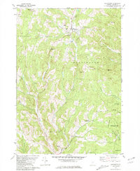 1981 Washington1981 Print · USGSCentral Vermont's rural landscape is captured here in the early eighties, showcasing the intersection of small upland hamlets and managed timberlands. Genealogists and local historians can locate several family cemeteries such as Fish Cem and Clough Cem, or trace the winding roads connecting Washington to Kennedy Corners.2 unique versions available
 - 1988 Map of Montpelier
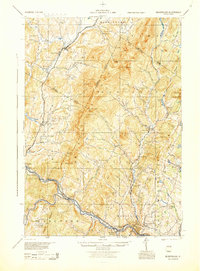 1988 Montpelier1988 Print · USGSThe area surrounding Vermont’s capital city appears here during the early 1940s, showing the vital rail-and-river network. Genealogists can trace family names across a dozen district schools and rural sites like Middlesex Center and the Talc Mine.2 unique versions available
 - 2012 Map of Washington, 2012 Print
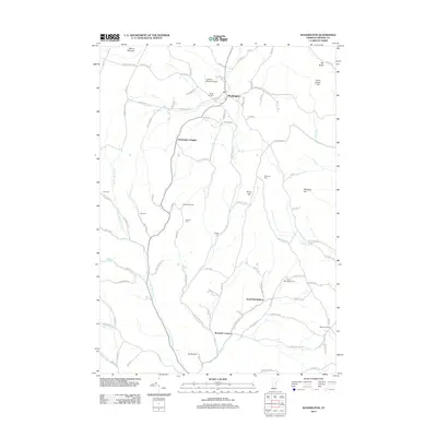 2012 Washington2012 Print · USGSVermont's Orange County uplands are documented here during the early twenty-first century, showing a landscape of high hills and scattered hamlets. Genealogists can locate several family cemeteries, including Bohonon Cem and Caswell Cem, alongside the village of Washington.
 - 2015 Map of Washington, 2015 Print
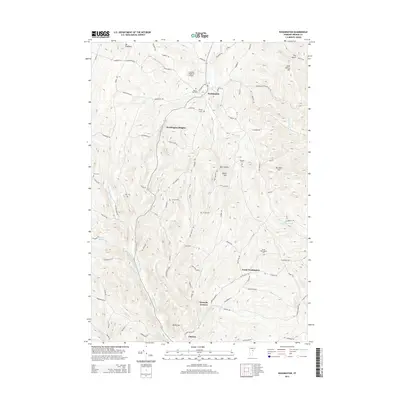 2015 Washington2015 Print · USGSOrange County's high ridges and river valleys are captured here in the mid-2010s, showing a landscape defined by its rural heritage. Genealogists can trace family footprints across numerous burial grounds including South Washington Cem, Fish Cem, and Caswell Cem.
 - 2018 Map of Washington, 2018 Print
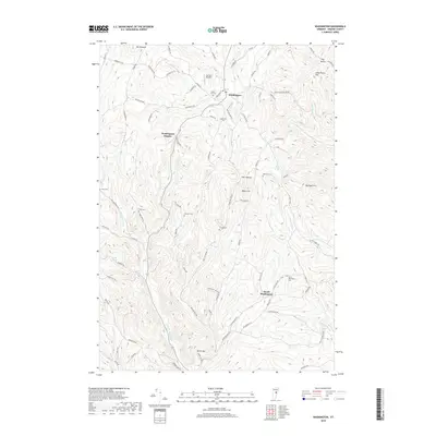 2018 Washington2018 Print · USGSWashington and the surrounding Orange County hills appear in this recent survey, showcasing a community defined by its steep ridges and scattered family homesteads. Genealogists can locate several family burial grounds including Caswell Cem and Clough Cem or trace the First Br White River.
 - 2021 Map of Washington, 2021 Print
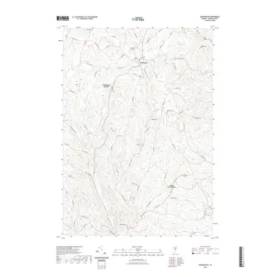 2021 Washington2021 Print · USGSVermont's Orange County uplands are documented here in the early twenty-first century, showing a landscape of high ridges and family-named hollows. Researchers can locate numerous historic burial sites like Maple Hill Cem and Bohonon Cem, or trace the winding course of Cookville Brook.
 - 2024 Map of Washington, 2024 Print
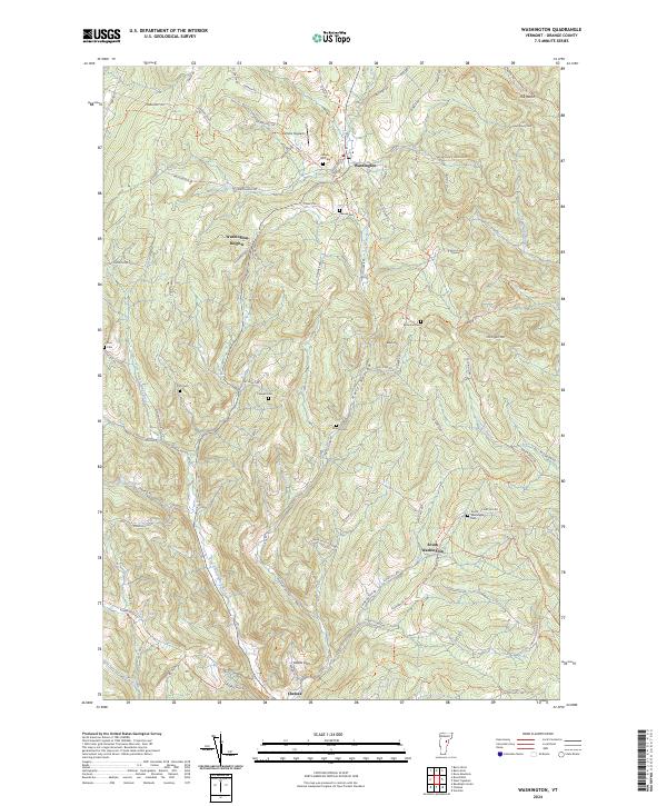 2024 Washington2024 Print · USGSVermont's upland character is on full display here in the 2020s, showing a landscape of high hills and deep hollows. Family historians can trace local roots across numerous burial grounds like Maple Hill Cem and the South Washington Cem.
End of results
Showing maps 1-13 of 13
Top cities near South Washington
- Barre historical maps
- Montpelier historical maps
- Northfield historical maps
- Randolph historical maps
- Williamstown historical maps
- Norwich historical maps
See more
Frequently asked questions
- What are the different types of historical maps available for South Washington?
- What is the oldest map of South Washington?
- Where can I purchase historical maps of South Washington for my home or office?
- Where can I download high-res historical maps of South Washington?
- Are there historical topographic maps available for South Washington?
- Is there historical aerial imagery available for South Washington?
- Where are historical maps of South Washington sourced from?