2000s (21st Century) Maps of Mount Holly, Vermont
Explore 20 historic maps of Mount Holly from the 2000s (21st Century). These maps offer a rare glimpse into what life looked like during the 2000s — showing old roads, neighborhoods, homes, and landmarks that have changed or disappeared over time.
Whether you're researching your family's past, planning a metal detecting trip, or studying how Mount Holly's landscape evolved across the 2000s, these high-resolution maps are a powerful tool for exploring the history of this region.
- Focus on a specific era: All maps on this page are from the 2000s, giving you a focused view of this time period.
- See what’s changed: Compare century-old streets, trails, and buildings to today's modern landscape using overlays and satellite layers.
- Research with precision: Use these maps for genealogy, historical research, land use analysis, or educational projects.
- View, download, or print: Maps are fully viewable online in high resolution, and can be downloaded or printed for your own records.
Start exploring Mount Holly's history through authentic maps from the 2000s. This is your window into the past.
Mount Holly, VT maps
(20)- 2012 Map of Wallingford, 2012 Print
 2012 Wallingford2012 Print · USGSCovers Mount Holly, including Clarendon, Wallingford, and other nearby areas
 - 2012 Map of Ludlow, 2012 Print
 2012 Ludlow2012 Print · USGSCovers Mount Holly, including Ludlow, Ludlow Village, and other nearby areas
 - 2012 Map of Mount Holly, 2012 Print
 2012 Mount Holly2012 Print · USGSCovers Mount Holly, including Ludlow, Wallingford, and other nearby areas
 - 2012 Map of Weston, 2012 Print
 2012 Weston2012 Print · USGSCovers Mount Holly, including Ludlow, Londonderry, and other nearby areas
 - 2015 Map of Mount Holly, 2015 Print
 2015 Mount Holly2015 Print · USGSCovers Mount Holly, including Ludlow, Wallingford, and other nearby areas
 - 2015 Map of Wallingford, 2015 Print
 2015 Wallingford2015 Print · USGSCovers Mount Holly, including Clarendon, Wallingford, and other nearby areas
 - 2015 Map of Ludlow, 2015 Print
 2015 Ludlow2015 Print · USGSCovers Mount Holly, including Ludlow, Ludlow Village, and other nearby areas
 - 2015 Map of Weston, 2015 Print
 2015 Weston2015 Print · USGSCovers Mount Holly, including Ludlow, Londonderry, and other nearby areas
 - 2018 Map of Weston, 2018 Print
 2018 Weston2018 Print · USGSCovers Mount Holly, including Ludlow, Londonderry, and other nearby areas
 - 2018 Map of Mount Holly, 2018 Print
 2018 Mount Holly2018 Print · USGSCovers Mount Holly, including Ludlow, Wallingford, and other nearby areas
 - 2018 Map of Ludlow, 2018 Print
 2018 Ludlow2018 Print · USGSCovers Mount Holly, including Ludlow, Ludlow Village, and other nearby areas
 - 2018 Map of Wallingford, 2018 Print
 2018 Wallingford2018 Print · USGSCovers Mount Holly, including Clarendon, Wallingford, and other nearby areas
 - 2021 Map of Weston, 2021 Print
 2021 Weston2021 Print · USGSCovers Mount Holly, including Ludlow, Londonderry, and other nearby areas
 - 2021 Map of Mount Holly, 2021 Print
 2021 Mount Holly2021 Print · USGSCovers Mount Holly, including Ludlow, Wallingford, and other nearby areas
 - 2021 Map of Wallingford, 2021 Print
 2021 Wallingford2021 Print · USGSCovers Mount Holly, including Clarendon, Wallingford, and other nearby areas
 - 2021 Map of Ludlow, 2021 Print
 2021 Ludlow2021 Print · USGSCovers Mount Holly, including Ludlow, Ludlow Village, and other nearby areas
 - 2024 Map of Weston, 2024 Print
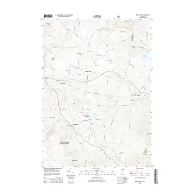
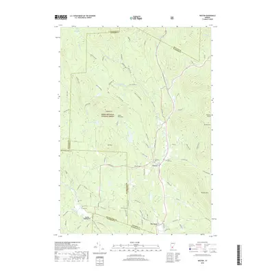
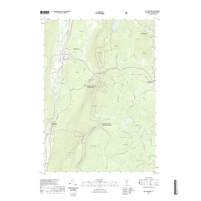
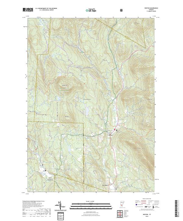 2024 Weston2024 Print · USGSWeston and the surrounding Green Mountains are documented here in the early twenty-first century, showing a landscape defined by deep valleys and high peaks. Genealogists can locate several historic burial sites, including Forefathers Cem and Island Cem, while hikers can trace the Jenny Coolidge Trl.
 - 2024 Map of Wallingford, 2024 Print
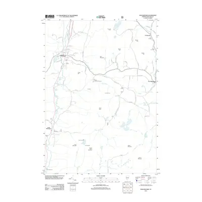
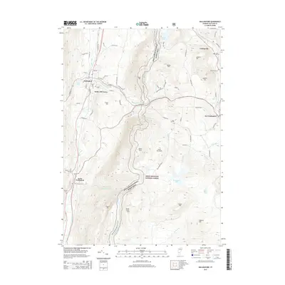
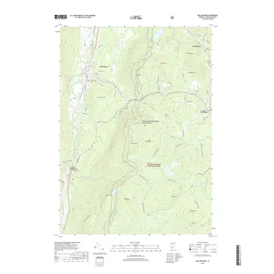
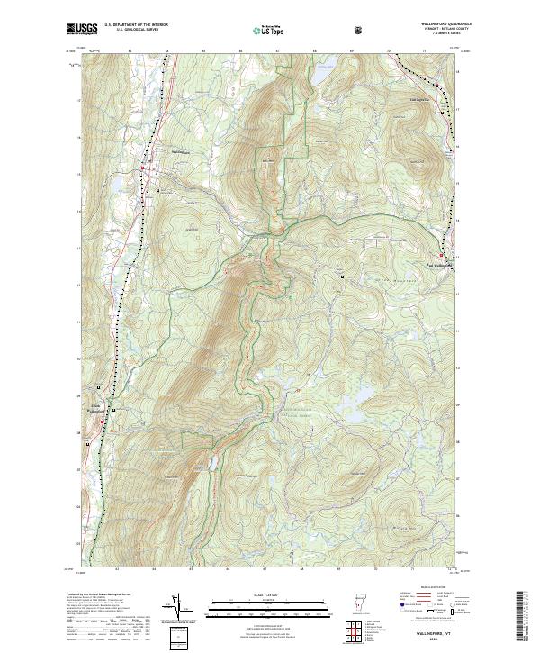 2024 Wallingford2024 Print · USGSVermont's Green Mountains and the Otter Creek valley are shown in this recent survey, capturing a landscape of high-elevation ponds and historic valley settlements. Genealogists can locate numerous small burial sites like Doty Cem and Laurel Glen Cem near Cuttingsville.
 - 2024 Map of Ludlow, 2024 Print
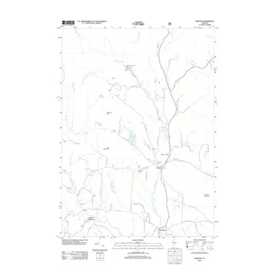
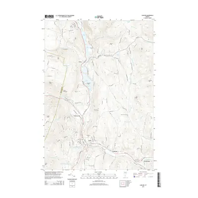
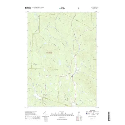
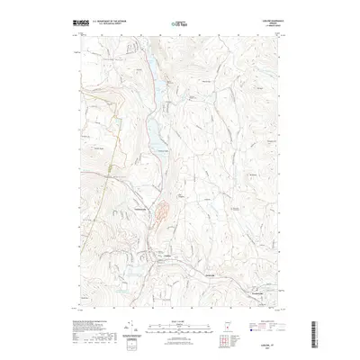
 2024 Ludlow2024 Print · USGSThe Black River valley in Windsor County comes into focus in this contemporary survey of its historic mountain settlements. Genealogists and historians can trace family plots at Tyson Pollard Cem and Twentymile Stream Cem or locate old routes like Crown Point Rd.
 - 2024 Map of Mount Holly, 2024 Print
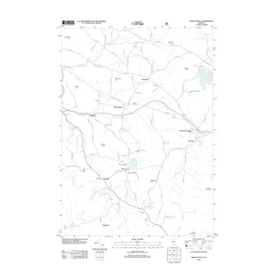
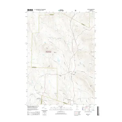
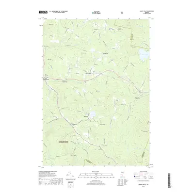
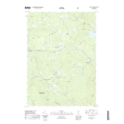
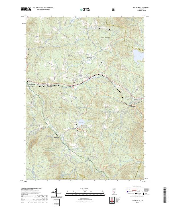 2024 Mount Holly2024 Print · USGSThe Green Mountains of Rutland County are documented here in the modern era, showing a landscape of high ridges and historic hamlets. Genealogists can locate numerous burial sites like Packer Cem, New Mechanicsville Cem, and the waters of Star Lake.
End of results
Showing maps 1-20 of 20
Top cities near Mount Holly
- Rutland City historical maps
- Woodstock historical maps
- Clarendon historical maps
- Ludlow historical maps
- Ludlow Village historical maps
- Manchester historical maps
See more
Top neighborhoods of Mount Holly
- Bowlsville historical maps
- Healdville historical maps
- Mount Holly Heights historical maps
- Tarbellville historical maps
- Hortonville historical maps
- Belmont historical maps
Frequently asked questions
- What are the different types of historical maps available for Mount Holly?
- What is the oldest map of Mount Holly?
- Where can I purchase historical maps of Mount Holly for my home or office?
- Where can I download high-res historical maps of Mount Holly?
- Are there historical topographic maps available for Mount Holly?
- Is there historical aerial imagery available for Mount Holly?
- Where are historical maps of Mount Holly sourced from?