2000s (21st Century) Maps of Calais, Vermont
Explore 20 historic maps of Calais from the 2000s (21st Century). These maps offer a rare glimpse into what life looked like during the 2000s — showing old roads, neighborhoods, homes, and landmarks that have changed or disappeared over time.
Whether you're researching your family's past, planning a metal detecting trip, or studying how Calais's landscape evolved across the 2000s, these high-resolution maps are a powerful tool for exploring the history of this region.
- Focus on a specific era: All maps on this page are from the 2000s, giving you a focused view of this time period.
- See what’s changed: Compare century-old streets, trails, and buildings to today's modern landscape using overlays and satellite layers.
- Research with precision: Use these maps for genealogy, historical research, land use analysis, or educational projects.
- View, download, or print: Maps are fully viewable online in high resolution, and can be downloaded or printed for your own records.
Start exploring Calais's history through authentic maps from the 2000s. This is your window into the past.
Calais, VT maps
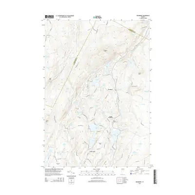
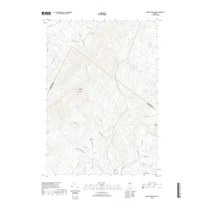
(20)- 2012 Map of Woodbury, 2012 Print
 2012 Woodbury2012 Print · USGSCovers Calais, including Hardwick, Marshfield, and other nearby areas
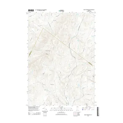
 - 2012 Map of Mount Worcester, 2012 Print
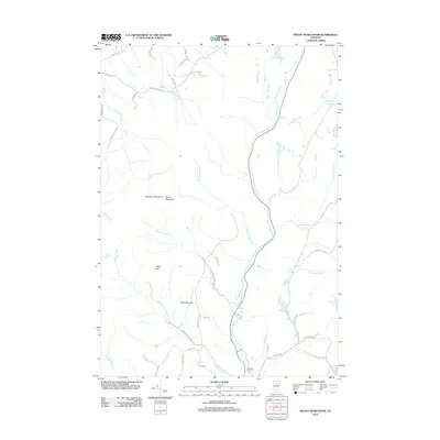 2012 Mount Worcester2012 Print · USGSCovers Calais, including Stowe, Morristown, and other nearby areas
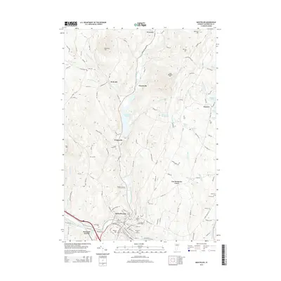
 - 2012 Map of Montpelier, 2012 Print
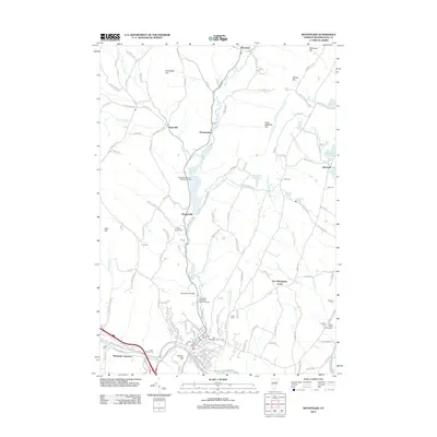 2012 Montpelier2012 Print · USGSCovers Calais, including Montpelier, Berlin, and other nearby areas
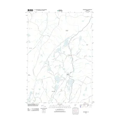
 - 2012 Map of Plainfield, 2012 Print
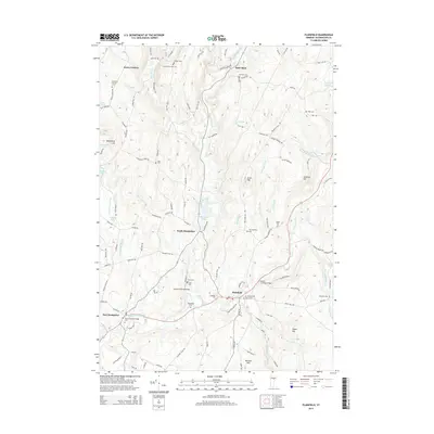
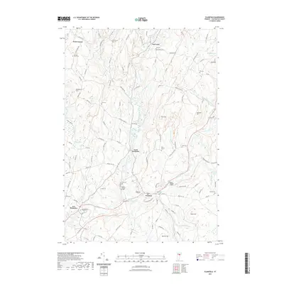
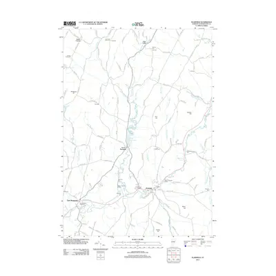 2012 Plainfield2012 Print · USGSCovers Calais, including East Montpelier, Marshfield, and other nearby areas
 - 2015 Map of Plainfield, 2015 Print
 2015 Plainfield2015 Print · USGSCovers Calais, including East Montpelier, Marshfield, and other nearby areas
 - 2015 Map of Woodbury, 2015 Print
 2015 Woodbury2015 Print · USGSCovers Calais, including Hardwick, Marshfield, and other nearby areas
 - 2015 Map of Montpelier, 2015 Print
 2015 Montpelier2015 Print · USGSCovers Calais, including Montpelier, Berlin, and other nearby areas
 - 2015 Map of Mount Worcester, 2015 Print
 2015 Mount Worcester2015 Print · USGSCovers Calais, including Stowe, Morristown, and other nearby areas
 - 2018 Map of Mount Worcester, 2018 Print
 2018 Mount Worcester2018 Print · USGSCovers Calais, including Stowe, Morristown, and other nearby areas
 - 2018 Map of Montpelier, 2018 Print
 2018 Montpelier2018 Print · USGSCovers Calais, including Montpelier, Berlin, and other nearby areas
 - 2018 Map of Plainfield, 2018 Print
 2018 Plainfield2018 Print · USGSCovers Calais, including East Montpelier, Marshfield, and other nearby areas
 - 2018 Map of Woodbury, 2018 Print
 2018 Woodbury2018 Print · USGSCovers Calais, including Hardwick, Marshfield, and other nearby areas
 - 2021 Map of Woodbury, 2021 Print
 2021 Woodbury2021 Print · USGSCovers Calais, including Hardwick, Marshfield, and other nearby areas
 - 2021 Map of Plainfield, 2021 Print
 2021 Plainfield2021 Print · USGSCovers Calais, including East Montpelier, Marshfield, and other nearby areas
 - 2021 Map of Mount Worcester, 2021 Print
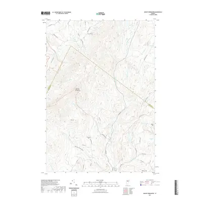 2021 Mount Worcester2021 Print · USGSCovers Calais, including Stowe, Morristown, and other nearby areas
 - 2021 Map of Montpelier, 2021 Print
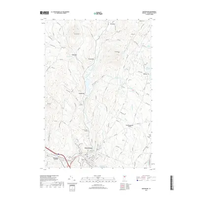
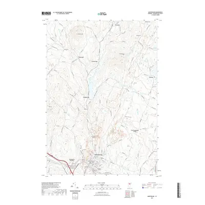 2021 Montpelier2021 Print · USGSCovers Calais, including Montpelier, Berlin, and other nearby areas
 - 2024 Map of Plainfield, 2024 Print
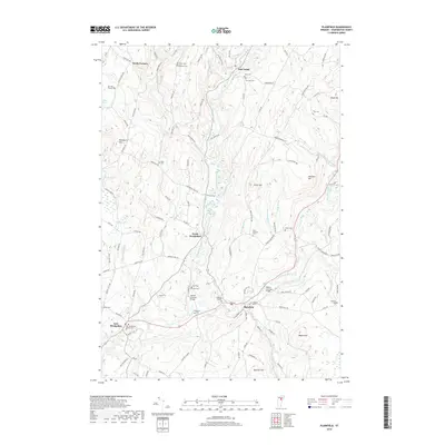
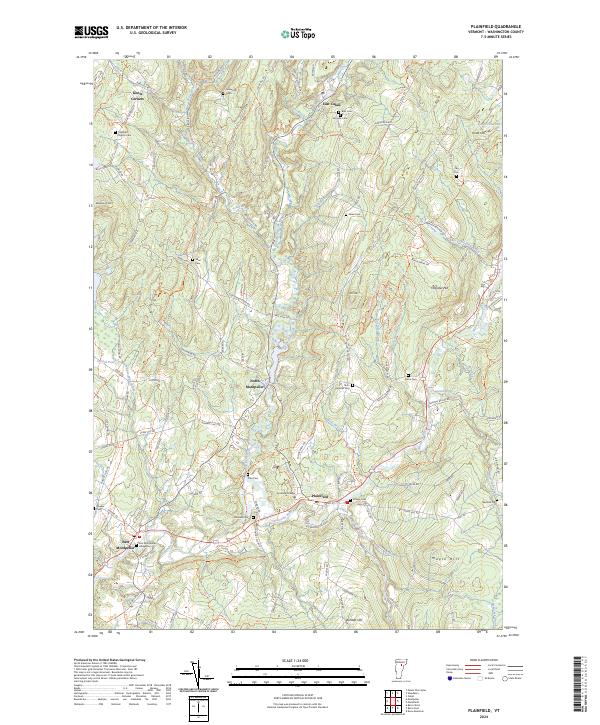 2024 Plainfield2024 Print · USGSThe rural landscape of central Vermont unfolds here in the early twenty-first century, showing the enduring structure of small villages and hillside farms. Genealogists can trace family lines through a wealth of burial sites like Old West Church Cem, Plainmont Cem, and the Quaker Cem.
 - 2024 Map of Mount Worcester, 2024 Print
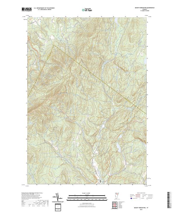 2024 Mount Worcester2024 Print · USGSThe Worcester Mountains define this part of Washington County in the 2020s, showing a landscape shaped by high ridges and the North Branch Winooski River. Researchers can locate ancestral sites at Mountain Cem or trace old upland routes like McCall Pasture Rd and Hardwood Flats Rd.
 - 2024 Map of Montpelier, 2024 Print
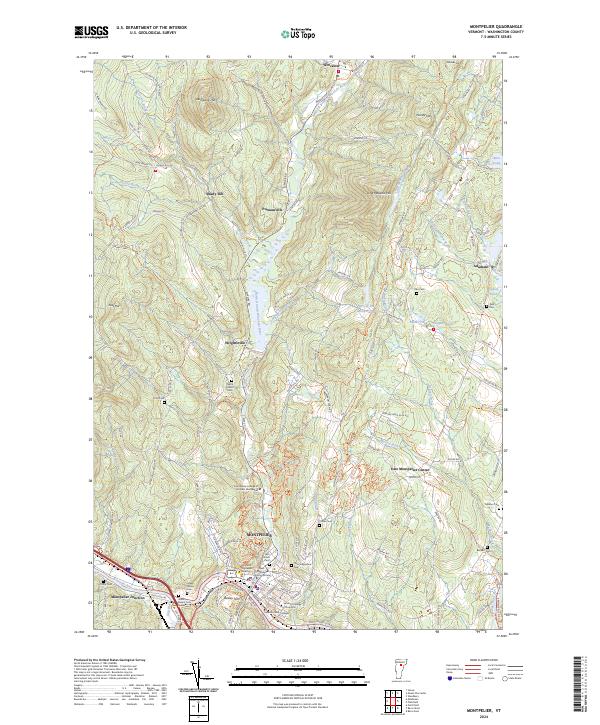 2024 Montpelier2024 Print · USGSMontpelier and its neighboring hill towns are documented here in detail during the early twenty-first century. Genealogists and historians can trace significant sites like the Green Mount Cem Soldiers Lot, the settlement at Shady Rill, and the civic grounds of the Vermont Supreme Court.
 - 2024 Map of Woodbury, 2024 Print
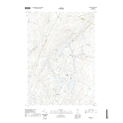
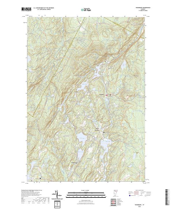 2024 Woodbury2024 Print · USGSUpper Washington County is revealed in the early twenty-first century as a landscape of interconnected ponds and hill-country settlements. Genealogists can locate family burial sites at Ainsworth - North - Bradish Cem and trace the quarrying history along Woodbury Quarry Rd.
End of results
Showing maps 1-20 of 20
Top cities near Calais
- Barre historical maps
- Montpelier historical maps
- Northfield historical maps
- Waterbury historical maps
- Stowe historical maps
- Williamstown historical maps
See more
Top neighborhoods of Calais
- Kents Corners historical maps
- Maple Corner historical maps
- North Calais historical maps
- East Calais historical maps
- Adamant historical maps
- Kents Corner Historic District historical maps
Frequently asked questions
- What are the different types of historical maps available for Calais?
- What is the oldest map of Calais?
- Where can I purchase historical maps of Calais for my home or office?
- Where can I download high-res historical maps of Calais?
- Are there historical topographic maps available for Calais?
- Is there historical aerial imagery available for Calais?
- Where are historical maps of Calais sourced from?