2000s (21st Century) Maps of Marshfield, Vermont
Explore 25 historic maps of Marshfield from the 2000s (21st Century). These maps offer a rare glimpse into what life looked like during the 2000s — showing old roads, neighborhoods, homes, and landmarks that have changed or disappeared over time.
Whether you're researching your family's past, planning a metal detecting trip, or studying how Marshfield's landscape evolved across the 2000s, these high-resolution maps are a powerful tool for exploring the history of this region.
- Focus on a specific era: All maps on this page are from the 2000s, giving you a focused view of this time period.
- See what’s changed: Compare century-old streets, trails, and buildings to today's modern landscape using overlays and satellite layers.
- Research with precision: Use these maps for genealogy, historical research, land use analysis, or educational projects.
- View, download, or print: Maps are fully viewable online in high resolution, and can be downloaded or printed for your own records.
Start exploring Marshfield's history through authentic maps from the 2000s. This is your window into the past.
Marshfield, VT maps
(25)- 2012 Map of Woodbury, 2012 Print
 2012 Woodbury2012 Print · USGSCovers Marshfield, including Hardwick, Calais, and other nearby areas
 - 2012 Map of Knox Mountain, 2012 Print
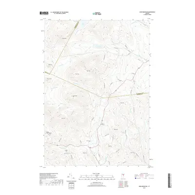
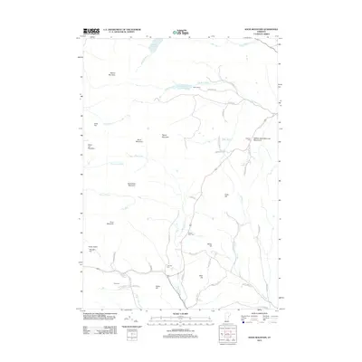 2012 Knox Mountain2012 Print · USGSCovers Marshfield, including Plainfield, Orange, and other nearby areas
 - 2012 Map of Marshfield, 2012 Print
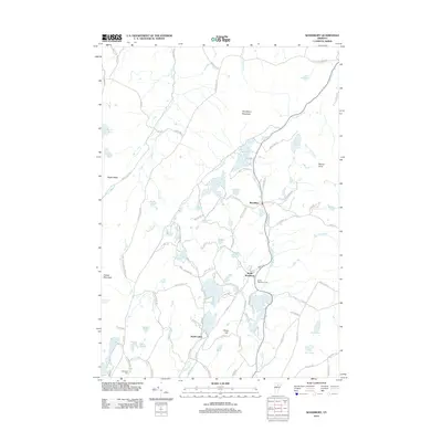
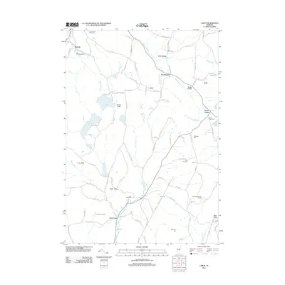
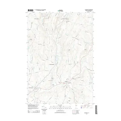
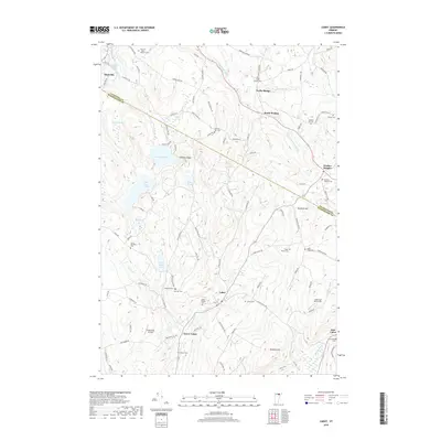
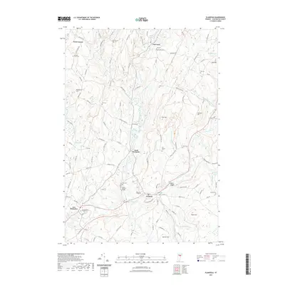
 2012 Marshfield2012 Print · USGSCovers Marshfield, including Cabot, Plainfield, and other nearby areas
 - 2012 Map of Plainfield, 2012 Print
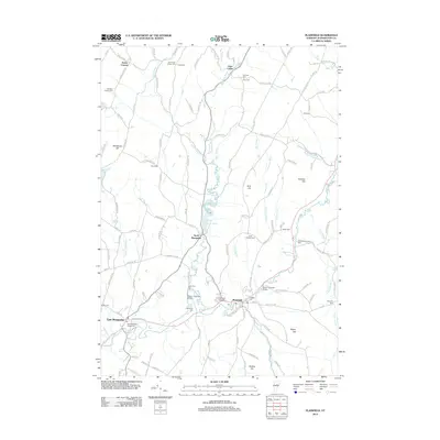 2012 Plainfield2012 Print · USGSCovers Marshfield, including East Montpelier, Calais, and other nearby areas
 - 2012 Map of Cabot, 2012 Print
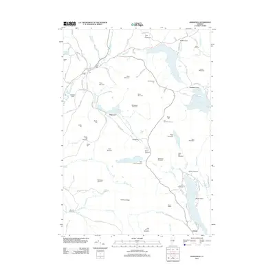
 2012 Cabot2012 Print · USGSCovers Marshfield, including Hardwick, Cabot, and other nearby areas
 - 2015 Map of Cabot, 2015 Print
 2015 Cabot2015 Print · USGSCovers Marshfield, including Hardwick, Cabot, and other nearby areas
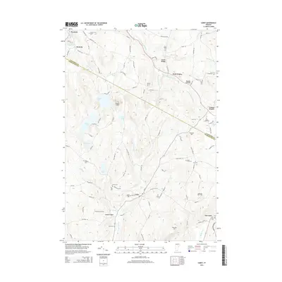
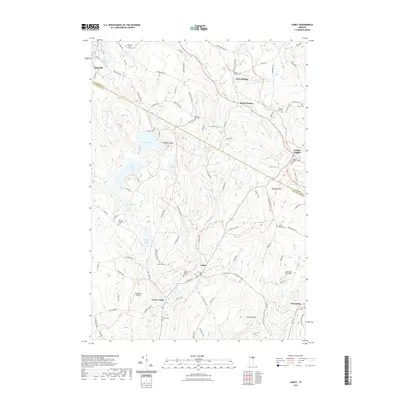
 - 2015 Map of Marshfield, 2015 Print
 2015 Marshfield2015 Print · USGSCovers Marshfield, including Cabot, Plainfield, and other nearby areas
 - 2015 Map of Knox Mountain, 2015 Print
 2015 Knox Mountain2015 Print · USGSCovers Marshfield, including Plainfield, Orange, and other nearby areas
 - 2015 Map of Plainfield, 2015 Print
 2015 Plainfield2015 Print · USGSCovers Marshfield, including East Montpelier, Calais, and other nearby areas
 - 2015 Map of Woodbury, 2015 Print
 2015 Woodbury2015 Print · USGSCovers Marshfield, including Hardwick, Calais, and other nearby areas
 - 2018 Map of Plainfield, 2018 Print
 2018 Plainfield2018 Print · USGSCovers Marshfield, including East Montpelier, Calais, and other nearby areas
 - 2018 Map of Marshfield, 2018 Print
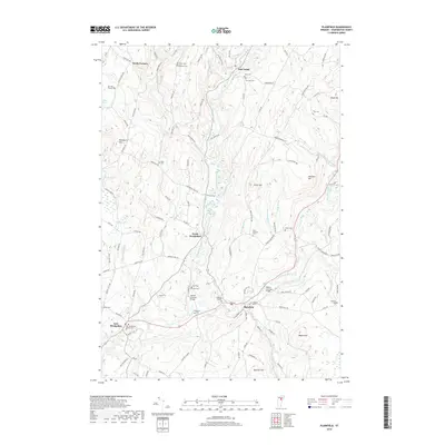
 2018 Marshfield2018 Print · USGSCovers Marshfield, including Cabot, Plainfield, and other nearby areas
 - 2018 Map of Woodbury, 2018 Print
 2018 Woodbury2018 Print · USGSCovers Marshfield, including Hardwick, Calais, and other nearby areas
 - 2018 Map of Cabot, 2018 Print
 2018 Cabot2018 Print · USGSCovers Marshfield, including Hardwick, Cabot, and other nearby areas
 - 2018 Map of Knox Mountain, 2018 Print
 2018 Knox Mountain2018 Print · USGSCovers Marshfield, including Plainfield, Orange, and other nearby areas
 - 2021 Map of Cabot, 2021 Print
 2021 Cabot2021 Print · USGSCovers Marshfield, including Hardwick, Cabot, and other nearby areas
 - 2021 Map of Woodbury, 2021 Print
 2021 Woodbury2021 Print · USGSCovers Marshfield, including Hardwick, Calais, and other nearby areas
 - 2021 Map of Plainfield, 2021 Print
 2021 Plainfield2021 Print · USGSCovers Marshfield, including East Montpelier, Calais, and other nearby areas
 - 2021 Map of Marshfield, 2021 Print
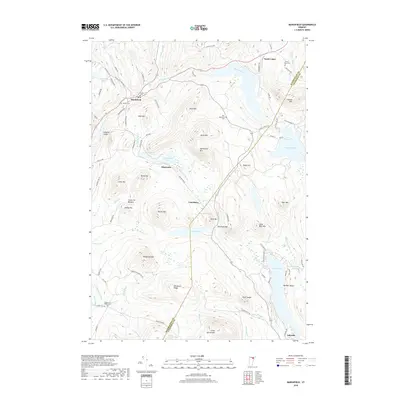
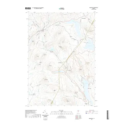 2021 Marshfield2021 Print · USGSCovers Marshfield, including Cabot, Plainfield, and other nearby areas
 - 2021 Map of Knox Mountain, 2021 Print
 2021 Knox Mountain2021 Print · USGSCovers Marshfield, including Plainfield, Orange, and other nearby areas
 - 2024 Map of Cabot, 2024 Print
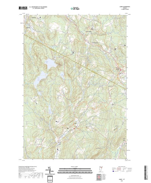 2024 Cabot2024 Print · USGSThe headwaters of the Winooski River shape this corner of the Vermont hills in the modern era. Genealogists can trace family lines across a high density of rural burial grounds like Durant Cem and Cabot Plains Cem or explore the heights of Nichols Ledge.
 - 2024 Map of Plainfield, 2024 Print
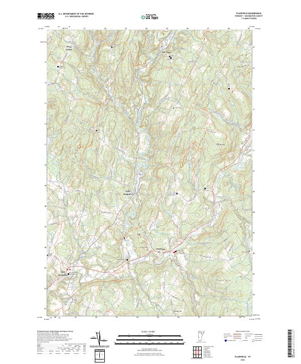 2024 Plainfield2024 Print · USGSThe rural landscape of central Vermont unfolds here in the early twenty-first century, showing the enduring structure of small villages and hillside farms. Genealogists can trace family lines through a wealth of burial sites like Old West Church Cem, Plainmont Cem, and the Quaker Cem.
 - 2024 Map of Marshfield, 2024 Print
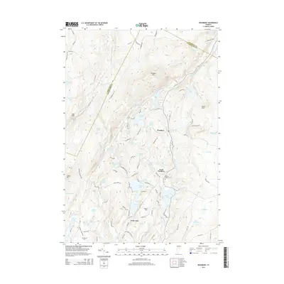
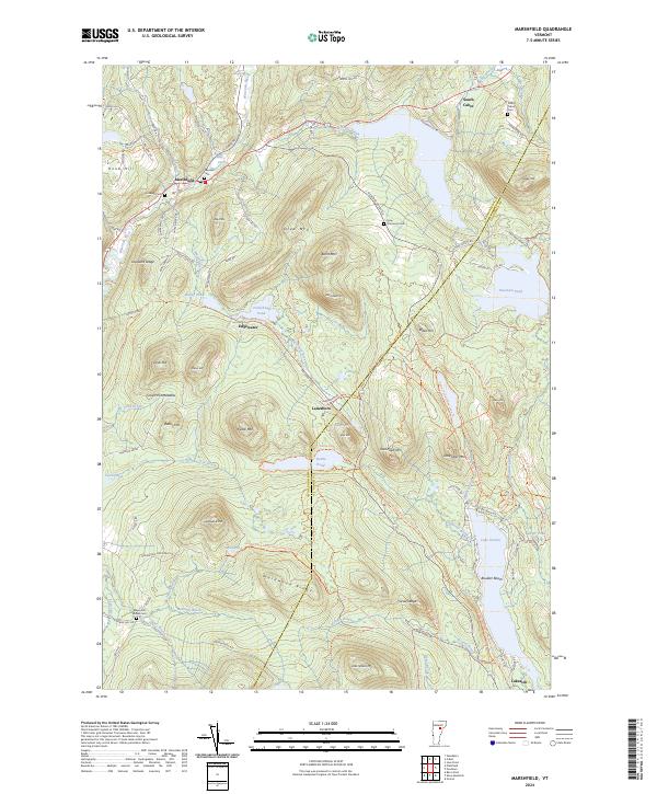 2024 Marshfield2024 Print · USGSVermont's high forest and river valleys are captured here in modern detail, from the village of Marshfield to the shores of Lake Groton. Researchers can trace old family burial grounds like Wooster Cem or follow the route of the historic Railroad Bed.
 - 2024 Map of Knox Mountain, 2024 Print
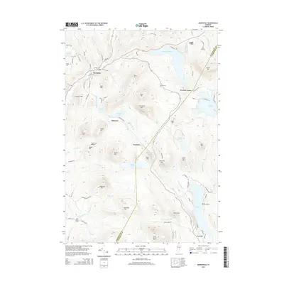
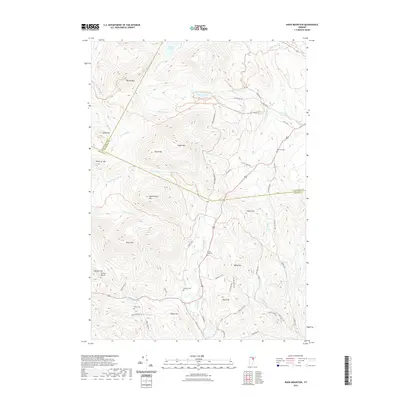
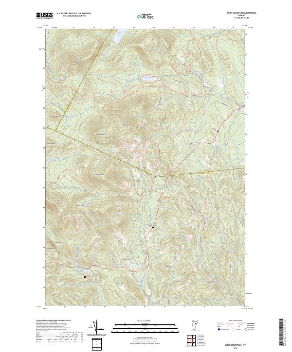 2024 Knox Mountain2024 Print · USGSHigh peaks and mountain gaps define this Vermont landscape at the intersection of three counties. Modern researchers can trace family-named burial grounds like Westville Cemetery and Peake Cemetery or explore the rugged trails around Signal Mountain.
 - 2024 Map of Woodbury, 2024 Print
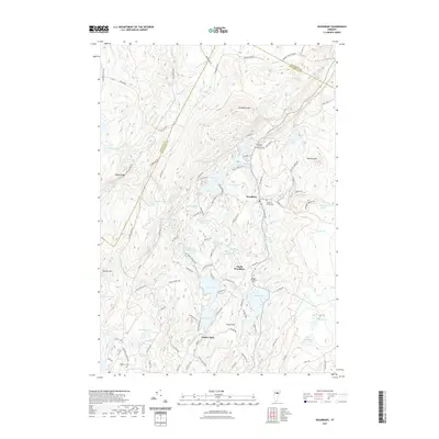
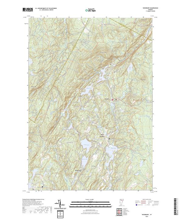 2024 Woodbury2024 Print · USGSUpper Washington County is revealed in the early twenty-first century as a landscape of interconnected ponds and hill-country settlements. Genealogists can locate family burial sites at Ainsworth - North - Bradish Cem and trace the quarrying history along Woodbury Quarry Rd.
End of results
Showing maps 1-25 of 25
Top cities near Marshfield
- Barre historical maps
- Montpelier historical maps
- Williamstown historical maps
- Hardwick historical maps
- Berlin historical maps
- Berlin Corners historical maps
See more
Top neighborhoods of Marshfield
Frequently asked questions
- What are the different types of historical maps available for Marshfield?
- What is the oldest map of Marshfield?
- Where can I purchase historical maps of Marshfield for my home or office?
- Where can I download high-res historical maps of Marshfield?
- Are there historical topographic maps available for Marshfield?
- Is there historical aerial imagery available for Marshfield?
- Where are historical maps of Marshfield sourced from?