Old Maps of Marshfield, Vermont for Genealogy
Trace your family roots with 41 historic maps of Marshfield. These high-res maps reveal old neighborhoods, homesites, landmarks, and streets — helping you uncover where your ancestors lived and how the area evolved over time.
- Explore historic neighborhoods: Identify where your relatives may have lived in the 1800s or 1900s.
- Compare maps over time: Trace the changes in streets, buildings, and landmarks for multi-generational research.
- Perfect for genealogy & ancestry research: Used by family historians and researchers to map out lineage and migration.
These maps are an incredible resource for exploring your personal connection to Marshfield's past.
Marshfield, VT maps
(41)- 1939 Map of Plainfield
 1939 Plainfield1939 Print · USGSVermont's granite-and-timber country is captured here on the eve of the 1940s, when remote rail lines still connected upland villages. Genealogists can trace family names at the Old West Ch, Hollister Hill Sch, and the isolated Lanesboro rail stop.
 - 1940 Map of Plainfield, 1953 Print
 1940 Plainfield1953 Print · USGSVermont's hill country is captured here just before the war, showing a landscape defined by small farms and upland schools. Genealogists can locate family landmarks at Maple Cors Calais PO, Old West Ch, and the St Johnsbury and Lake Champlain RR.2 unique versions available
 - 1943 Map of Plainfield
 1943 Plainfield1943 Print · USGSVermont's highland farming and rail communities are captured here in the 1940s as the state's rural landscape remained densely settled. Genealogists can locate family-named landmarks like Hollister Hill Sch, trace the Montpelier and Wells River RR, or find the Old West Ch near Kent Cors.2 unique versions available
 - 1947 Map of Corinth
 1947 Corinth1947 Print · USGSThe granite quarrying region of Vermont is captured here just after the war, showing the industrial density of the hills. Genealogists can trace family roots through numerous local landmarks like Wilson Cem, Miles Sch, and settlements such as Goose Green and Websterville.
 - 1948 Map of East Barre
 1948 East Barre1948 Print · USGSCentral Vermont's quarrying and timber lands are captured here just after the war, showing the industrial centers of the Knox Mountains area. Genealogists can trace family roots through numerous remote burial grounds like Hutchinson Cem and schoolhouses such as Quarry Sch.2 unique versions available
 - 1950 Map of Lake Champlain
 1950 Lake Champlain1950 Print · USGSThe Lake Champlain valley and its surrounding peaks are captured in detail during the late 1940s, showing the vital rail and road connections between New York and Vermont. Researchers can trace the routes of the Central Vermont Railway or locate old industrial centers like Mineville and Witherbee.2 unique versions available
 - 1953 Map of Plainfield, 1954 Print
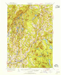 1953 Plainfield1954 Print · USGSThe hills of Washington and Caledonia counties are captured here in the early fifties, showing the region's transition from old upland farming to a wood-and-water economy. Researchers can locate vanished landmarks like Maple Cor Calais PO, the Dwinell Sch, and the St Johnsbury and Lake Champlain RR.4 unique versions available
 - 1957 Map of East Barre, 1959 Print
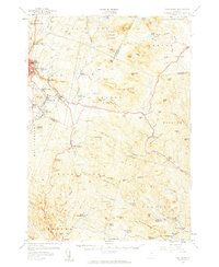 1957 East Barre1959 Print · USGSThe granite industry and deep woodland of central Vermont are on display in the mid-fifties. Genealogists can trace family lines through Wilson Cem or locate the Quarry Sch near Upper Graniteville.4 unique versions available
 - 1958 Map of Lake Champlain
 1958 Lake Champlain1958 Print · USGSThe Champlain Valley and surrounding high peaks are captured here in the late fifties, showcasing the cross-border region from the Adirondacks to the Green Mountains. Researchers can trace historic rail routes like the Rutland Railway or locate old valley settlements such as Keeseville and Vergennes.2 unique versions available
 - 1962 Map of Lake Champlain, 1975 Print
 1962 Lake Champlain1975 Print · USGSLake Champlain and the high peaks of the Adirondacks and Green Mountains are captured here during the mid-twentieth century. Researchers can trace the industrial legacy of the Lyon Mountain Mine and the rail corridors of the Central Vermont RR and Delaware & Hudson RR.3 unique versions available
 - 1981 Map of Knox Mountain
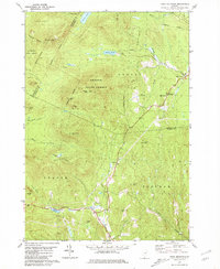 1981 Knox Mountain1981 Print · USGSThe Vermont highlands near Orange and Groton are captured in the early 1980s, showing a landscape shaped by state forests and mountain peaks. Genealogists and hikers can locate Westville Cem, the William Scott Mem Mon, and the Lookout Tower atop Spruce Mtn.2 unique versions available
 - 1986 Map of Marshfield, 1987 Print
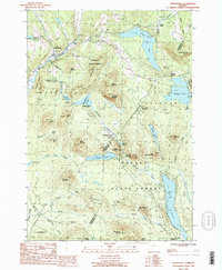 1986 Marshfield1987 Print · USGSThe Green Mountain foothills and the sprawling Groton State Forest are documented in the mid-eighties. Trace old settlements like Marshfield Station and Lanesboro alongside the shores of Lake Groton.
 - 1986 Map of Woodbury, 1987 Print
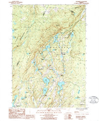 1986 Woodbury1987 Print · USGSCentral Vermont in the mid-1980s was characterized by a dense network of glacial lakes and small mountain settlements. Genealogists and local historians can trace the community structures of South Woodbury and North Calais or locate old Quarries and Cem markers.2 unique versions available
 - 1986 Map of Plainfield, 1987 Print
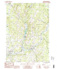 1986 Plainfield1987 Print · USGSUpper Washington County in the mid-1980s shows a landscape of river-valley villages and high-pasture townships. Researchers can trace the Old RR Grade through East Montpelier or locate family history at the Covered Bridge and small cemeteries near East Calais.
 - 1986 Map of Cabot, 1987 Print
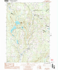 1986 Cabot1987 Print · USGSCentral Vermont in the mid-eighties was a landscape of river-valley hamlets and upland ponds. Genealogists and local historians can trace the settlement footprints of Cabot, South Walden, and the rail-linked Walden Heights.2 unique versions available
 - 1988 Map of Montpelier
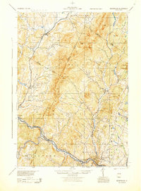 1988 Montpelier1988 Print · USGSThe area surrounding Vermont’s capital city appears here during the early 1940s, showing the vital rail-and-river network. Genealogists can trace family names across a dozen district schools and rural sites like Middlesex Center and the Talc Mine.2 unique versions available
 - 2012 Map of Woodbury, 2012 Print
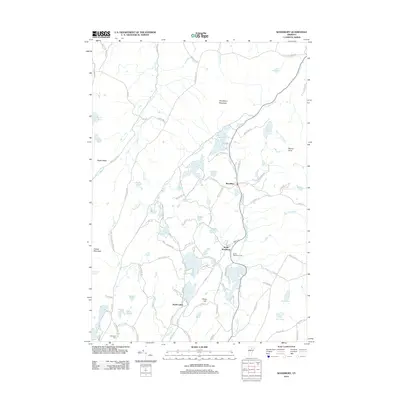 2012 Woodbury2012 Print · USGSVermont's granite-veined highlands are documented in this 2012 survey during a period of modern rural continuity. Genealogists and local historians can trace family roots through landmarks like South Woodbury Cem, Robinson Cem, and the historic village of Woodbury.
 - 2012 Map of Knox Mountain, 2012 Print
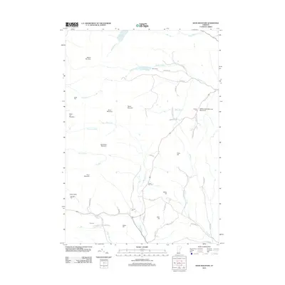 2012 Knox Mountain2012 Print · USGSThe Vermont highlands near Marshfield appear in detail during the early 2010s, showing a rugged landscape of high peaks and scattered family cemeteries. Researchers can locate the William Scott Memorial Monument or trace ancestral sites at Westville Cem and Groton Road Cem.
 - 2012 Map of Marshfield, 2012 Print
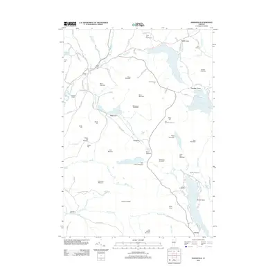 2012 Marshfield2012 Print · USGSVermont's high country and the headwaters of the Winooski River are captured here in the early twenty-first century. Genealogists and local historians can locate several historic burial sites like Hudson Cem and Wooster Cem or trace the old paths of the Railroad Bed W.
 - 2012 Map of Plainfield, 2012 Print
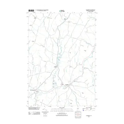 2012 Plainfield2012 Print · USGSThe river valleys of Washington County appear in detail during the early 2010s, showcasing a landscape of historic covered bridges and collegiate grounds. Local historians can trace family roots through numerous sites like Ainsworth Center Cem, the Old West Church, and the Martin Covered Bridge.
 - 2012 Map of Cabot, 2012 Print
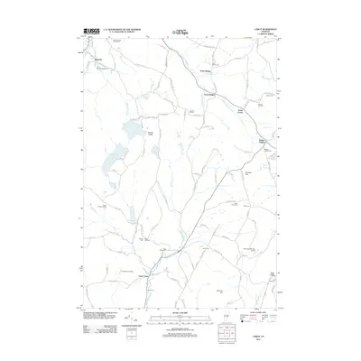 2012 Cabot2012 Print · USGSUpper Vermont hill country at the start of the 2010s shows a landscape of deep valleys and highland ponds centered on the Winooski River. Genealogists can locate numerous family and town burying grounds like Stevens Hill Cem, West Hill Cem, and Fairview-Saint Roberts Cem.
 - 2015 Map of Cabot, 2015 Print
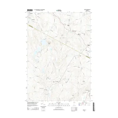 2015 Cabot2015 Print · USGSCabot and the surrounding mountain townships are shown here in the mid-2010s, capturing the enduring rural character of Washington and Caledonia counties. Genealogists can locate numerous burial sites such as Westhill Cem and South Walden Cem, or trace the highlands around Nichols Ledge.
 - 2015 Map of Marshfield, 2015 Print
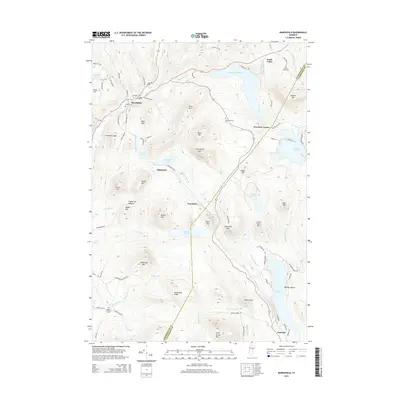 2015 Marshfield2015 Print · USGSVermont's Green Mountain foothills appear in this 2015 survey, documenting a region of highland ponds and historic villages. Researchers can trace ancestral sites at Maple Hill-Bolles Cem or explore the route of the old Railroad Bed E near Lanesboro.
 - 2015 Map of Knox Mountain, 2015 Print
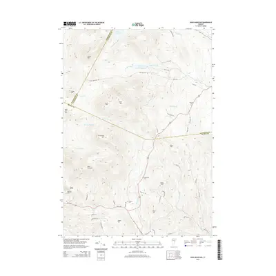 2015 Knox Mountain2015 Print · USGSThe upland terrain of central Vermont is documented here during the mid-2010s at the junction of three counties. Local historians and genealogists can trace family footprints through sites like Westville Cem, Clement Cem, and the peaks of Knox Mountain and Spruce Mtn.
 - 2015 Map of Plainfield, 2015 Print
 2015 Plainfield2015 Print · USGSThe Winooski River valley near Plainfield and East Calais remains a landscape of covered bridges and deep-rooted academies in the mid-2010s. Local history buffs can trace family landmarks like the Coburn Covered Bridge, Goddard Coll, and the Old West Church.
Showing maps 1-25 of 41
Top cities near Marshfield
- Barre historical maps
- Montpelier historical maps
- Williamstown historical maps
- Hardwick historical maps
- Berlin Corners historical maps
- Berlin historical maps
See more
Top neighborhoods of Marshfield
Frequently asked questions
- What are the different types of historical maps available for Marshfield?
- What is the oldest map of Marshfield?
- Where can I purchase historical maps of Marshfield for my home or office?
- Where can I download high-res historical maps of Marshfield?
- Are there historical topographic maps available for Marshfield?
- Is there historical aerial imagery available for Marshfield?
- Where are historical maps of Marshfield sourced from?