2020s Maps of Waterbury, Vermont
Explore 8 historic maps of Waterbury from the 2020s. These maps offer a rare glimpse into what life looked like during the 2020s — showing old roads, neighborhoods, homes, and landmarks that have changed or disappeared over time.
Whether you're researching your family's past, planning a metal detecting trip, or studying how Waterbury's landscape evolved across the 2020s, these high-resolution maps are a powerful tool for exploring the history of this region.
- Focus on a specific era: All maps on this page are from the 2020s, giving you a focused view of this time period.
- See what’s changed: Compare century-old streets, trails, and buildings to today's modern landscape using overlays and satellite layers.
- Research with precision: Use these maps for genealogy, historical research, land use analysis, or educational projects.
- View, download, or print: Maps are fully viewable online in high resolution, and can be downloaded or printed for your own records.
Start exploring Waterbury's history through authentic maps from the 2020s. This is your window into the past.
Waterbury, VT maps
(8)- 2021 Map of Waterbury, 2021 Print
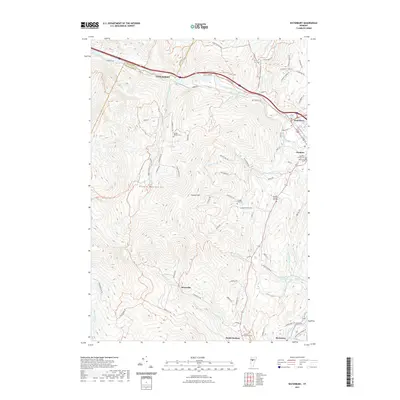 2021 Waterbury2021 Print · USGSCovers Waterbury, including Moretown, Duxbury, and other nearby areas
 - 2021 Map of Middlesex, 2021 Print
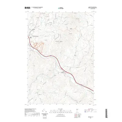 2021 Middlesex2021 Print · USGSCovers Waterbury, including Berlin, Middlesex, and other nearby areas
 - 2021 Map of Bolton Mountain, 2021 Print
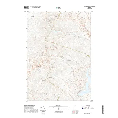 2021 Bolton Mountain2021 Print · USGSCovers Waterbury, including Stowe, Underhill, and other nearby areas
 - 2021 Map of Stowe, 2021 Print
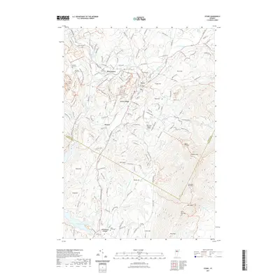 2021 Stowe2021 Print · USGSCovers Waterbury, including Stowe, Morristown, and other nearby areas
 - 2024 Map of Middlesex, 2024 Print
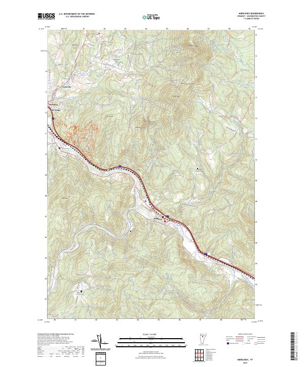 2024 Middlesex2024 Print · USGSThe Winooski River valley and surrounding mountain peaks define this area of Washington County as it appears in the 2020s. Researchers can trace family history through sites like Village Cemetery or explore upland settlements like Kneeland Flat and Colbyville.
 - 2024 Map of Bolton Mountain, 2024 Print
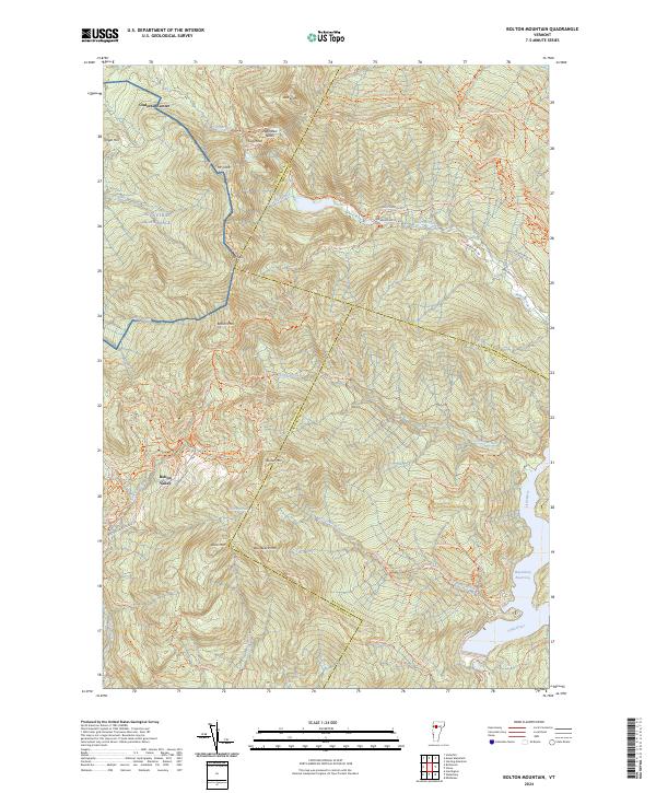 2024 Bolton Mountain2024 Print · USGSThe high peaks of the Green Mountains are captured in this 2024 survey, showing the development of Bolton Valley and the vast trail networks around Bolton Mtn. Trace the paths of the Long Trl and Catamount Trl through Nebraska Notch.
 - 2024 Map of Stowe, 2024 Print
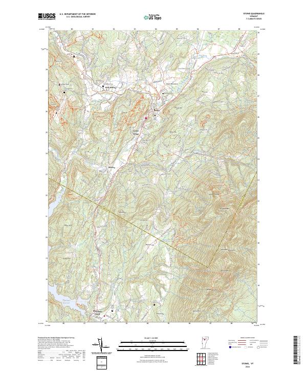 2024 Stowe2024 Print · USGSThe Lamoille County highlands surrounding Stowe appear in modern detail, capturing the valley's evolution into a premier mountain destination. Researchers can trace historic family burial sites like Trapp Family Cem or locate the old crossroads at Moscow and Waterbury Center.
 - 2024 Map of Waterbury, 2024 Print
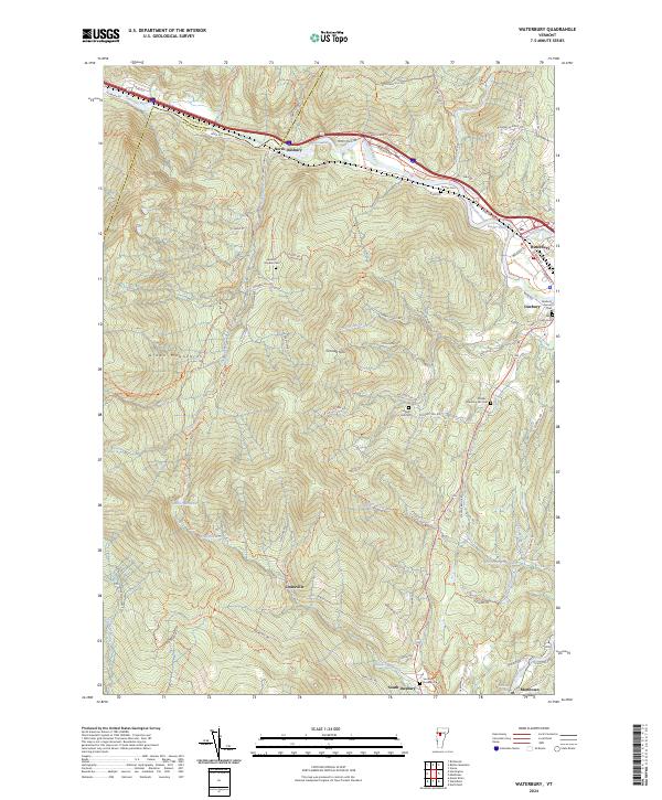 2024 Waterbury2024 Print · USGSThe Winooski River valley and the Green Mountains come together in this recent survey of central Vermont. Researchers can trace historic family burial sites like Landon - Hayden Cem and explore upland settlements including Dowsville and North Duxbury.
End of results
Showing maps 1-8 of 8
Top cities near Waterbury
- Essex historical maps
- Barre historical maps
- Montpelier historical maps
- Northfield historical maps
- Stowe historical maps
- Jericho historical maps
See more
Top neighborhoods of Waterbury
- Mill Village historical maps
- Waterbury Center historical maps
- Colbyville historical maps
- Waterbury Village Historic District historical maps
Frequently asked questions
- What are the different types of historical maps available for Waterbury?
- What is the oldest map of Waterbury?
- Where can I purchase historical maps of Waterbury for my home or office?
- Where can I download high-res historical maps of Waterbury?
- Are there historical topographic maps available for Waterbury?
- Is there historical aerial imagery available for Waterbury?
- Where are historical maps of Waterbury sourced from?