Old Maps of Brookline, Vermont for Genealogy
Trace your family roots with 44 historic maps of Brookline. These high-res maps reveal old neighborhoods, homesites, landmarks, and streets — helping you uncover where your ancestors lived and how the area evolved over time.
- Explore historic neighborhoods: Identify where your relatives may have lived in the 1800s or 1900s.
- Compare maps over time: Trace the changes in streets, buildings, and landmarks for multi-generational research.
- Perfect for genealogy & ancestry research: Used by family historians and researchers to map out lineage and migration.
These maps are an incredible resource for exploring your personal connection to Brookline's past.
Brookline, VT maps
(44)- 1891 Map of Brattleboro
 1891 Brattleboro1891 Print · USGSSouthern Vermont’s industrial and rail corridors are captured here in the late nineteenth century as the region transitioned into a hub for trade. Genealogists and local historians can trace the early rail stops at Putney Station, Dummerston Station, and the rural layout of Guilford Center.
 - 1893 Map of Brattleboro
 1893 Brattleboro1893 Print · USGSWindham County at the close of the nineteenth century reveals a landscape defined by its river-valley railroads and hill-country settlements. Genealogists and historians can trace defunct rail stops like Williamsville Station and Dummerston Station or locate family landmarks near Ginseng Hill and Hinesburg.7 unique versions available
 - 1930 Map of Saxtons River
 1930 Saxtons River1930 Print · USGSWindham County villages were still centers of rural life in the late 1920s as the Rutland RR steamed through the river valleys. Genealogists and historians can locate dozens of local schoolhouses like Round Sch (Dist No 1) and Walker Sch or trace family lands near Grafton and Newfane.2 unique versions available
 - 1932 Map of Brattleboro
 1932 Brattleboro1932 Print · USGSThe Connecticut River valley comes into sharp focus during the 1930s, showing a landscape of river-side rail and high ridge-lines. Genealogists and historians can trace the Boston and Maine line past West Chesterfield, the Monument Sch, and the notable Childs Monument.
 - 1933 Map of Saxtons River
 1933 Saxtons River1933 Print · USGSWindham County villages and upland farms are captured in the early 1930s as the regional economy centered on the river valleys. Genealogists can locate family landmarks like Burgess Cem and numerous district schools including No 12 Sch and Easton Sch.4 unique versions available
 - 1935 Map of Brattleboro
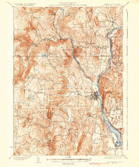 1935 Brattleboro1935 Print · USGSThe Connecticut River valley in the mid-1930s reveals a landscape of industrial river towns and upland farming hamlets. Genealogists can trace family sites near Guilford Center or follow the rail stops at Dummerston Station and Putney Station.5 unique versions available
 - 1943 Map of Brattleboro
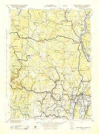 1943 Brattleboro1943 Print · USGSSouthern Vermont and the Massachusetts border area appear in this mid-century survey as a landscape of timbered peaks and river-connected villages. Genealogists can trace family roots through markers like Arms Cem or follow the rails at Dummerston Sta and Putney Sta.
 - 1948 Map of Albany, 1951 Print
 1948 Albany1951 Print · USGSThe Hudson and Connecticut River valleys are captured here in the late 1940s, showing the vital rail and water corridors of the Northeast. You can trace the Boston and Maine tracks past Mt Greylock or locate early settlements like Great Barrington and Bennington.
 - 1950 Map of Glens Falls
 1950 Glens Falls1950 Print · USGSThe Adirondacks and the Green Mountains meet in this mid-century survey of the New York and Vermont borderlands. Researchers can trace the industrial rail corridors of the Rutland RR and Delaware & Hudson RR connecting Glens Falls, Rutland, and the shores of Lake George.
 - 1954 Map of Brattleboro, 1956 Print
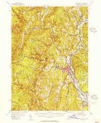 1954 Brattleboro1956 Print · USGSThe Connecticut River valley thrives in the mid-1950s as a bustling rail and educational hub connecting Vermont and New Hampshire. Genealogists and historians can trace family-named burial grounds like Houghton Cem and Wilkens Hill Cem, or locate landmarks like Windham College and Retreat Meadows.4 unique versions available
 - 1956 Map of Albany, 1968 Print
 1956 Albany1968 Print · USGSThe industrial heart of the Northeast is revealed in the mid-1950s, from the Hudson Valley to the Connecticut River. Researchers can trace the legacy of the Quabbin Reservoir, locate Westover Air Force Base, or follow the Rutland RR through the Green Mountains.2 unique versions available
 - 1956 Map of Glens Falls, 1968 Print
 1956 Glens Falls1968 Print · USGSUpper New York and the Vermont mountains are captured here in the mid-fifties, showing the rugged rail-and-river network of the Northeast. Researchers can trace the paths of the Delaware and Hudson RR and Rutland RR as they wind through valley towns like Poultney and Whitehall.3 unique versions available
 - 1957 Map of Albany
 1957 Albany1957 Print · USGSThe Tri-State region and Connecticut River Valley are captured here during a period of significant postwar growth and infrastructure expansion. Genealogists and historians can trace the rail-and-river economy through landmarks like the Boston and Maine railroad, Quabbin Reservoir, and Westover Air Force Base.
 - 1957 Map of Saxtons River, 1959 Print
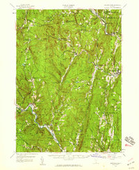 1957 Saxtons River1959 Print · USGSSoutheastern Vermont's river valleys and upland villages are captured in the late fifties, showing the region's transition into the mid-century. Researchers can locate family sites and local institutions like Easton Sch, Riverside Cem, and the tracks of the Rutland Railroad.3 unique versions available
 - 1959 Map of Glens Falls
 1959 Glens Falls1959 Print · USGSUpper New York and Vermont are captured here during the late 1950s, a period of transition for these mountain communities. Researchers can trace the legacy of the region's river-and-rail economy through landmarks like Lake George, Saratoga Springs, and Killington Peak.2 unique versions available
 - 1959 Map of Albany
 1959 Albany1959 Print · USGSThe Hudson and Connecticut River valleys are captured here during the late fifties, showing the region's dense rail networks and massive water projects. Researchers can trace the New York State Thruway or locate local landmarks like Mt Greylock and the Quabbin Reservoir.
 - 1962 Map of Albany
 1962 Albany1962 Print · USGSThe Hudson and Connecticut River valleys meet the Green Mountains and Berkshires in this mid-century overview of the Northeast. Genealogists and historians can trace the industrial hearts of Albany and Springfield or locate features like Quabbin Reservoir and Westover Air Force Base.
 - 1964 Map of Glens Falls
 1964 Glens Falls1964 Print · USGSThe tri-state borderlands of New York, Vermont, and New Hampshire appear here in the mid-1960s. Researchers can trace the rail routes of the Rutland RR and find historic sites like Ticonderoga and Saratoga National Historical Park.
 - 1984 Map of Townshend
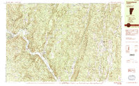 1984 Townshend1984 Print · USGSWindham County life in the mid-1980s is centered on the river valley and the wooded heights of the Green Mountains. Researchers can locate civic landmarks like the Town Hall (Round School) or trace family roots at Riverside Cem and Wiswall Cem.2 unique versions available
 - 1984 Map of Newfane
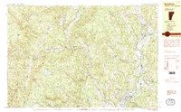 1984 Newfane1984 Print · USGSWindham County, Vermont, is captured in the mid-1980s as its river valleys and hill settlements maintained their traditional character. Researchers can trace ancestral sites at Newfane Hill Cem or the Old North Burying Ground and locate the former Putney Station along the river.2 unique versions available
 - 1985 Map of Claremont, 1986 Print
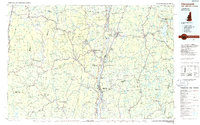 1985 Claremont1986 Print · USGSUpper Valley and Green Mountain life are captured here in the mid-eighties, centered on the river-linked hubs of Claremont and Springfield. Trace old family routes and rail lines like the Boston & Maine RR, or locate properties near Lake Sunapee and Mount Ascutney State Park.2 unique versions available
 - 1986 Map of Keene
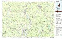 1986 Keene1986 Print · USGSThe tri-state borderlands of the Connecticut River Valley come alive in this mid-eighties survey of southern Vermont, New Hampshire, and Massachusetts. Genealogists and historians can trace rail-era villages like Ashuelot and Millers Falls alongside landmarks like Marlboro College and Monadnock Mountain.3 unique versions available
 - 1997 Map of Townshend, 2000 Print
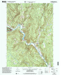 1997 Townshend2000 Print · USGSThe West River valley in the late nineties shows a landscape of mountain-shadowed villages and significant water management. Researchers can locate several family and community burial sites like Taft Cem or Oakwood Cem and trace the reservoir's impact on the land.
 - 1997 Map of Westminster West, 2001 Print
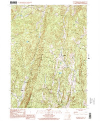 1997 Westminster West2001 Print · USGSWindham County's ridgelines and rural settlements appear here as they were in the late 1990s, before modern development. Genealogists and historians can trace the local landscape through landmarks like the Town Hall (Round School), Union Sch, and the high points of Windmill Mountain.
 - 2012 Map of Westminster West, 2012 Print
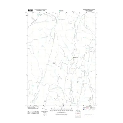 2012 Westminster West2012 Print · USGSWestminster and Brookline are shown here at the start of the 2010s, nestled between the prominent ridges of Windham County. Researchers can trace rural cemetery locations on Valley Cemetery Rd and map the drainages of Sacketts Brook and Grassy Brook.
Showing maps 1-25 of 44
Top cities near Brookline
- Brattleboro historical maps
- Swanzey historical maps
- Brockways Mills historical maps
- Springfield historical maps
- Winchester historical maps
- Walpole historical maps
See more
Frequently asked questions
- What are the different types of historical maps available for Brookline?
- What is the oldest map of Brookline?
- Where can I purchase historical maps of Brookline for my home or office?
- Where can I download high-res historical maps of Brookline?
- Are there historical topographic maps available for Brookline?
- Is there historical aerial imagery available for Brookline?
- Where are historical maps of Brookline sourced from?