2000s (21st Century) Maps of Dummerston, Vermont
Explore 10 historic maps of Dummerston from the 2000s (21st Century). These maps offer a rare glimpse into what life looked like during the 2000s — showing old roads, neighborhoods, homes, and landmarks that have changed or disappeared over time.
Whether you're researching your family's past, planning a metal detecting trip, or studying how Dummerston's landscape evolved across the 2000s, these high-resolution maps are a powerful tool for exploring the history of this region.
- Focus on a specific era: All maps on this page are from the 2000s, giving you a focused view of this time period.
- See what’s changed: Compare century-old streets, trails, and buildings to today's modern landscape using overlays and satellite layers.
- Research with precision: Use these maps for genealogy, historical research, land use analysis, or educational projects.
- View, download, or print: Maps are fully viewable online in high resolution, and can be downloaded or printed for your own records.
Start exploring Dummerston's history through authentic maps from the 2000s. This is your window into the past.
Dummerston, VT maps
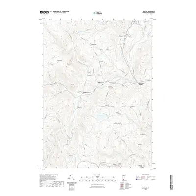
(10)- 2012 Map of Newfane, 2012 Print
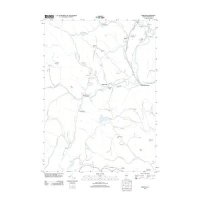 2012 Newfane2012 Print · USGSCovers Dummerston, including Brattleboro, Marlboro, and other nearby areas
 - 2012 Map of Putney, 2012 Print
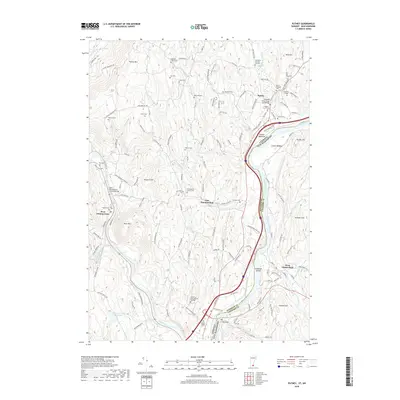
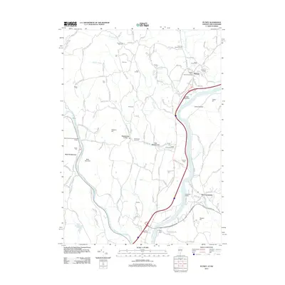 2012 Putney2012 Print · USGSCovers Dummerston, including Brattleboro, Chesterfield, and other nearby areas
 - 2015 Map of Putney, 2015 Print
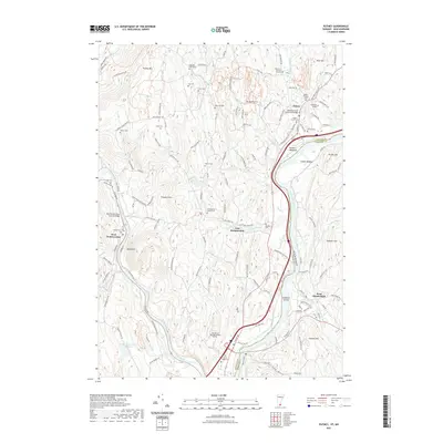
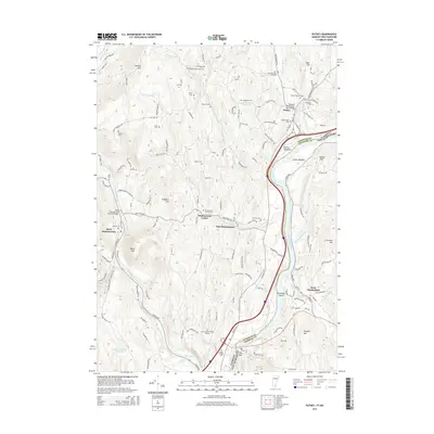 2015 Putney2015 Print · USGSCovers Dummerston, including Brattleboro, Chesterfield, and other nearby areas
 - 2015 Map of Newfane, 2015 Print
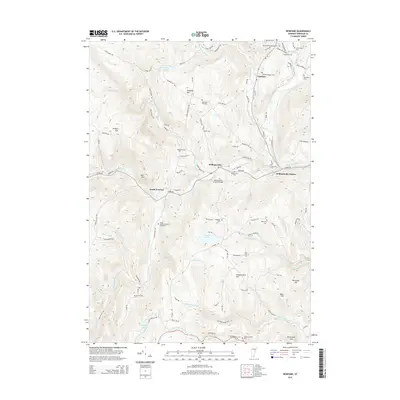 2015 Newfane2015 Print · USGSCovers Dummerston, including Brattleboro, Marlboro, and other nearby areas
 - 2018 Map of Newfane, 2018 Print
 2018 Newfane2018 Print · USGSCovers Dummerston, including Brattleboro, Marlboro, and other nearby areas
 - 2018 Map of Putney, 2018 Print
 2018 Putney2018 Print · USGSCovers Dummerston, including Brattleboro, Chesterfield, and other nearby areas
 - 2021 Map of Putney, 2021 Print
 2021 Putney2021 Print · USGSCovers Dummerston, including Brattleboro, Chesterfield, and other nearby areas
 - 2021 Map of Newfane, 2021 Print
 2021 Newfane2021 Print · USGSCovers Dummerston, including Brattleboro, Marlboro, and other nearby areas
 - 2024 Map of Putney, 2024 Print
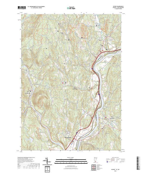 2024 Putney2024 Print · USGSThe Connecticut River valley in the contemporary era maintains its historical character, from the village of Putney to the river meadows. Genealogists can trace local history through nearly a dozen burial grounds, including Old North Burying Ground and Kathan Cem.
 - 2024 Map of Newfane, 2024 Print
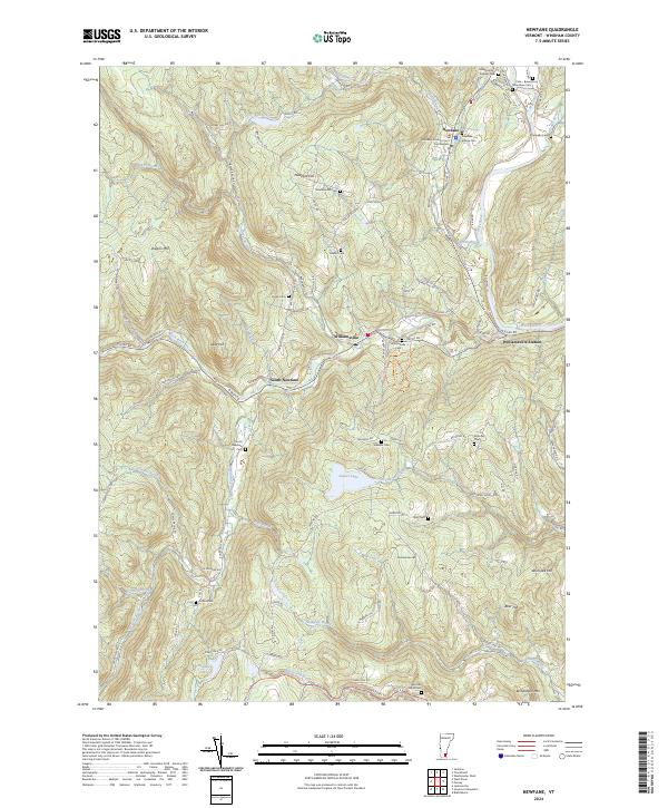 2024 Newfane2024 Print · USGSWindham County's civic heart and high-elevation farmsteads are captured in this contemporary survey of the Rock River valley. Genealogists can trace early homesteads through numerous small burial sites like the Perry Family Radway Cem and Newfane Hill Cem.
End of results
Showing maps 1-10 of 10
Top cities near Dummerston
- Keene historical maps
- Brattleboro historical maps
- Swanzey historical maps
- Winchester historical maps
- Walpole historical maps
- Chesterfield historical maps
See more
Top neighborhoods of Dummerston
- West Dummerston historical maps
- Williamsville Station historical maps
- Dummerston Center historical maps
- East Dummerston historical maps
Frequently asked questions
- What are the different types of historical maps available for Dummerston?
- What is the oldest map of Dummerston?
- Where can I purchase historical maps of Dummerston for my home or office?
- Where can I download high-res historical maps of Dummerston?
- Are there historical topographic maps available for Dummerston?
- Is there historical aerial imagery available for Dummerston?
- Where are historical maps of Dummerston sourced from?