Old Maps of Halifax, Vermont
Explore 59 old maps of Halifax, spanning from 1886 to today. These high-resolution historic maps reveal how streets, neighborhoods, landmarks, and natural features evolved over time — perfect for genealogy, metal detecting, research, and local history exploration.
What you can do with these maps:
- See how Halifax changed over time: Compare historical maps to modern-day views to trace roads, homesites, rail lines & more.
- View detailed metadata: Each map includes creators, publishers, year, scale, and archive source.
- Overlay maps with satellite & LiDAR: Visualize the past alongside modern tools to explore terrain & human change.
- Trusted historical sources: Maps sourced from the USGS, Library of Congress, and other archives.
- Access maps your way: View online, download high-res files, or order prints for personal or research use.
Start exploring old maps of Halifax to uncover forgotten places, hidden landmarks, and the deep history beneath your feet.
Halifax, VT maps
(59)- 1886 Map of Hawley
 1886 Hawley1886 Print · USGSThe northern Berkshires and Vermont border are captured in the late 1800s as railroads began to pierce the highlands. Trace the engineering of the Hoosac Tunnel or locate old settlements like Monroe Bridge and Buckland Four Corners.
 - 1889 Map of Wilmington
 1889 Wilmington1889 Print · USGSSouthern Vermont in the late nineteenth century was a landscape of steep mountain ridges and river-driven commerce. Genealogists can trace family names and small hamlets like Heartwellville, Davis Bridge, and the Hoosac Tunnel and Wilmington R.R.7 unique versions available
 - 1890 Map of Hawley
 1890 Hawley1890 Print · USGSFranklin County and the Vermont borderlands are shown here in the 1880s as the railroad era transformed the Deerfield Valley. Trace the path of the Fitchburg Railroad through the Hoosac Tunnel or find old roads in Hawley and Ashfield.
 - 1890 Map of Greenfield
 1890 Greenfield1890 Print · USGSFranklin County's industrial and rail corridors are captured in the late nineteenth century as the river valleys pulsed with water-powered manufacturing. Genealogists and historians can trace the foundations of Turners Falls, the layout of Lake Pleasant Camp Ground, and the rail connections at Conway Depot.
 - 1891 Map of Wilmington
 1891 Wilmington1891 Print · USGSSouthern Vermont in the early 1890s was a landscape of mountain hamlets and river-valley industry. You can trace the Hoosac Tunnel and Wilmington R.R. or locate historic settlements like Readsboro Falls, Jacksonville, and West Dover.
 - 1891 Map of Brattleboro
 1891 Brattleboro1891 Print · USGSSouthern Vermont’s industrial and rail corridors are captured here in the late nineteenth century as the region transitioned into a hub for trade. Genealogists and local historians can trace the early rail stops at Putney Station, Dummerston Station, and the rural layout of Guilford Center.
 - 1893 Map of Brattleboro
 1893 Brattleboro1893 Print · USGSWindham County at the close of the nineteenth century reveals a landscape defined by its river-valley railroads and hill-country settlements. Genealogists and historians can trace defunct rail stops like Williamsville Station and Dummerston Station or locate family landmarks near Ginseng Hill and Hinesburg.7 unique versions available
 - 1894 Map of Greenfield
 1894 Greenfield1894 Print · USGSFranklin County's industrial river valleys are captured here in the late 19th century as rail lines and water power drove local growth. Genealogists and historians can trace the foundations of Turner Falls, the transit hub at Cheapside, and the historic village of Deerfield.10 unique versions available
 - 1894 Map of Hawley
 1894 Hawley1894 Print · USGSThe northern Berkshires in the late nineteenth century are defined by the Deerfield River and the legendary Hoosac Tunnel rail route. Researchers can trace old upland hamlets like Spruce Corner, locate riverside settlements such as Monroe Bridge, and study the early rail network through Zoar.8 unique versions available
 - 1899 Map of Wilmington, 1931 Print
 1899 Wilmington1931 Print · USGSSouthern Vermont's mountain valleys were defined by timber and rail at the turn of the century. You can trace the route of the Hoosac Tunnel and Wilmington R.R. and locate family-named landmarks from Davis Bridge to Heartwellville.3 unique versions available
 - 1932 Map of Brattleboro
 1932 Brattleboro1932 Print · USGSThe Connecticut River valley comes into sharp focus during the 1930s, showing a landscape of river-side rail and high ridge-lines. Genealogists and historians can trace the Boston and Maine line past West Chesterfield, the Monument Sch, and the notable Childs Monument.
 - 1935 Map of Brattleboro
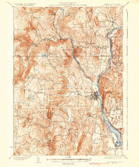 1935 Brattleboro1935 Print · USGSThe Connecticut River valley in the mid-1930s reveals a landscape of industrial river towns and upland farming hamlets. Genealogists can trace family sites near Guilford Center or follow the rail stops at Dummerston Station and Putney Station.5 unique versions available
 - 1937 Map of Colrain
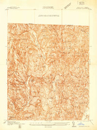 1937 Colrain1937 Print · USGSNorthwestern Massachusetts hill towns show their industrial and defensive roots in the years before the war. Trace colonial history at the Site of Fort Morrison or locate family homesteads near Griswoldville, Adamsville, and Aunt Sophies Peak.
 - 1941 Map of Colrain
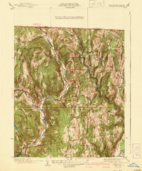 1941 Colrain1941 Print · USGSThe hill towns of Franklin County appear here in the early 1940s, showing the tight-knit industrial and farming hamlets along the North River. Genealogists and historians can trace colonial-era frontier sites like the Site of Fort Morrison or locate family roots near Griswoldville and West Leyden.2 unique versions available
 - 1943 Map of Brattleboro
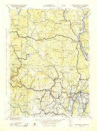 1943 Brattleboro1943 Print · USGSSouthern Vermont and the Massachusetts border area appear in this mid-century survey as a landscape of timbered peaks and river-connected villages. Genealogists can trace family roots through markers like Arms Cem or follow the rails at Dummerston Sta and Putney Sta.
 - 1945 Map of Heath
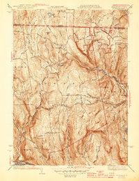 1945 Heath1945 Print · USGSFranklin County's high country is captured here in the mid-1940s, showing a network of upland farms and mountain settlements along the Vermont border. Researchers can trace ancestral roots through sites like Maple Grove Cem, locate the Davis Mine, or follow the winding West Branch North River.3 unique versions available
 - 1945 Map of Colrain, 1958 Print
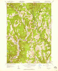 1945 Colrain1958 Print · USGSFranklin County's river-valley settlements and upland farms are captured here in the mid-1940s as industry and agriculture defined the region. Researchers can trace the North River through Griswoldville, find colonial landmarks like the Site of Fort Lucas, or locate family sites at Chandler Hill Cem.
 - 1946 Map of Colrain
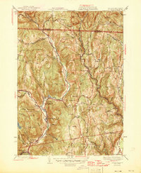 1946 Colrain1946 Print · USGSFranklin County and the Vermont border are shown just after the war, where industrial villages like Griswoldville and Shattuckville line the river valleys. Genealogists can trace early homesteads and colonial history through sites like the Site of Fort Morris and West Leyden Cem.2 unique versions available
 - 1948 Map of Albany, 1951 Print
 1948 Albany1951 Print · USGSThe Hudson and Connecticut River valleys are captured here in the late 1940s, showing the vital rail and water corridors of the Northeast. You can trace the Boston and Maine tracks past Mt Greylock or locate early settlements like Great Barrington and Bennington.
 - 1950 Map of Heath, 1958 Print
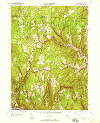 1950 Heath1958 Print · USGSFranklin County hill towns appear in detail during the early 1950s, showing a landscape of upland farms and mountain ridges. Researchers can locate family sites near Davis Mine, Maple Grove Cem, and several one-room schoolhouses like North Sch.
 - 1954 Map of Brattleboro, 1956 Print
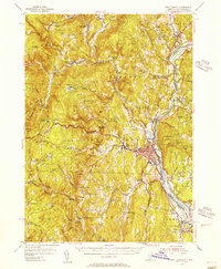 1954 Brattleboro1956 Print · USGSThe Connecticut River valley thrives in the mid-1950s as a bustling rail and educational hub connecting Vermont and New Hampshire. Genealogists and historians can trace family-named burial grounds like Houghton Cem and Wilkens Hill Cem, or locate landmarks like Windham College and Retreat Meadows.4 unique versions available
 - 1954 Map of Wilmington, 1957 Print
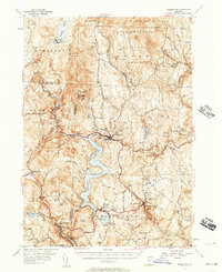 1954 Wilmington1957 Print · USGSSouthern Vermont's Windham County is shown here in the mid-1950s, a landscape defined by industrial water management and rural hamlets. Researchers can trace the Hoosac Tunnel and Wilmington RR and find family names at Riverview Cem or Hathaway Cem.5 unique versions available
 - 1956 Map of Albany, 1968 Print
 1956 Albany1968 Print · USGSThe industrial heart of the Northeast is revealed in the mid-1950s, from the Hudson Valley to the Connecticut River. Researchers can trace the legacy of the Quabbin Reservoir, locate Westover Air Force Base, or follow the Rutland RR through the Green Mountains.2 unique versions available
 - 1957 Map of Albany
 1957 Albany1957 Print · USGSThe Tri-State region and Connecticut River Valley are captured here during a period of significant postwar growth and infrastructure expansion. Genealogists and historians can trace the rail-and-river economy through landmarks like the Boston and Maine railroad, Quabbin Reservoir, and Westover Air Force Base.
 - 1959 Map of Albany
 1959 Albany1959 Print · USGSThe Hudson and Connecticut River valleys are captured here during the late fifties, showing the region's dense rail networks and massive water projects. Researchers can trace the New York State Thruway or locate local landmarks like Mt Greylock and the Quabbin Reservoir.
Showing maps 1-25 of 59
Top cities near Halifax
- Greenfield historical maps
- Montague historical maps
- Brattleboro historical maps
- Deerfield historical maps
- Chesterfield historical maps
- Vernon historical maps
See more
Top neighborhoods of Halifax
- Grove historical maps
- Harrisville historical maps
- West Halifax historical maps
- Reid Hollow historical maps
- Whitneyville historical maps
Frequently asked questions
- What are the different types of historical maps available for Halifax?
- What is the oldest map of Halifax?
- Where can I purchase historical maps of Halifax for my home or office?
- Where can I download high-res historical maps of Halifax?
- Are there historical topographic maps available for Halifax?
- Is there historical aerial imagery available for Halifax?
- Where are historical maps of Halifax sourced from?