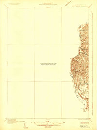
1932 Map of Brattleboro
USGS Topo · Published 1932About this map
The Connecticut River serves as the central artery and a contested political boundary in this 1932 topographic study, where the Vermont New Hampshire State Boundary was noted by surveyors as being in controversy. Along the eastern bank in Cheshire County, the landscape is defined by sharp elevation changes from Wantastiquet Mountain and Mine Ledge down to the river's edge. The transportation infrastructure of the era is anchored by the Boston and Maine railroad, which follows the river's curve past The Oxbow and through the settlement at West Chesterfield.
Find a feature on this map
34 named features on this map. Tap any name to fly to it.
Don’t see what you’re looking for? This feature index may not catch every label — zoom into the map to look around manually.
Map Details
Editions of this 1932 Brattleboro Map
This is the sole edition of this map. No revisions or reprints were ever made.
Other maps of this area

1886 · Hawley
USGS Topo · 1:62,500

1887 · Warwick
USGS Topo · 1:62,500

1889 · Warwick
USGS Topo · 1:62,500
1889 · Wilmington
USGS Topo · 1:62,500
1890 · Hawley
USGS Topo · 1:62,500

1890 · Greenfield
USGS Topo · 1:62,500
1891 · Wilmington
USGS Topo · 1:62,500
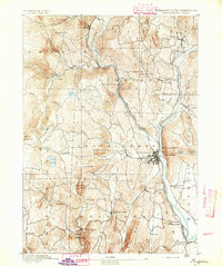
1891 · Brattleboro
USGS Topo · 1:62,500
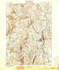
1893 · Brattleboro
USGS Topo · 1:62,500
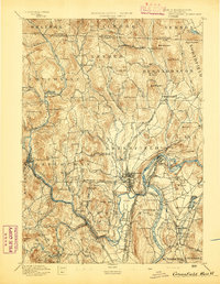
1894 · Greenfield
USGS Topo · 1:62,500