Old Maps of South Vernon, Vernon for Academic Research
Study the evolution of South Vernon with 25 high-resolution historic maps. Whether you're teaching, researching, or modeling changes in land use, these maps provide essential visual documentation of urban, environmental, and geographic change.
- Analyze long-term change: Track patterns in development, transportation, and natural features.
- Ideal for environmental or urban studies: Support academic projects with primary historical map data.
- Use in the classroom or lab: Educators and researchers rely on these maps to bring historical context to life.
These maps are a powerful tool for teaching, research, and visualizing how South Vernon has changed over the decades.
South Vernon, Vernon maps
(25)- 1887 Map of Warwick
 1887 Warwick1887 Print · USGSUpper Massachusetts and the New Hampshire border at the close of the nineteenth century reveal a landscape of river-powered industry and rail-connected villages. Researchers can trace the path of the Fitchburg R.R. through Millers Falls or locate early river crossings like Munns Ferry.
 - 1889 Map of Warwick
 1889 Warwick1889 Print · USGSFranklin County in the late 1880s was defined by its busy rail junctions and river valleys. Genealogists and historians can trace the development of Orange and Northfield, or locate vanished rail stops like Gill Station and Wendell Depot along the Fitchburg Railroad.
 - 1894 Map of Warwick
 1894 Warwick1894 Print · USGSNorthern Massachusetts and New Hampshire borderlands are captured here in the late nineteenth century, showing a landscape shaped by the Millers River. Researchers can trace the path of the Central Vermont Railroad and find early settlements like Wendell Depot and Northfield.6 unique versions available
 - 1932 Map of Warwick
 1932 Warwick1932 Print · USGSIn the early 1930s, the tri-state border region of Massachusetts, New Hampshire, and Vermont was a vital corridor of rail and river transit. Genealogists and researchers can trace the old rail lines of the Central Vermont Ry, locate the East Northfield Sta, or find family landmarks like Curtis Corners and Wheeler Fall.
 - 1935 Map of Warwick
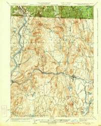 1935 Warwick1935 Print · USGSUpper Massachusetts and the Tri-State borderlands thrive during the mid-thirties as rail corridors and river valleys connect mountain villages. Researchers can trace the Central Vermont Ry through Northfield or locate family landmarks like Barrows Cem and Barber Sch.2 unique versions available
 - 1936 Map of Northfield
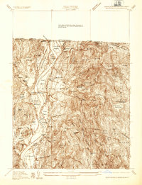 1936 Northfield1936 Print · USGSIn the mid-1930s, the Connecticut River valley at the tri-state border was a landscape of rail corridors and river crossings. Trace family roots at Coller Cem, locate the Deserted Village, or find old industrial sites like Warwick Mill.
 - 1941 Map of Northfield
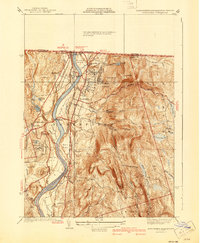 1941 Northfield1941 Print · USGSThe Connecticut River valley at the onset of the 1940s shows a landscape of busy rail lines and storied educational institutions. Genealogists and historians can trace Northfield landmarks like the Mt Hermon School, South Mtn Cem, and Schell Bridge.2 unique versions available
 - 1942 Map of Keene
 1942 Keene1942 Print · USGSCheshire County at the start of the war shows a landscape of busy river valleys and upland farms. You can trace the path of the Boston & Maine RR through towns like Westmoreland and find old district landmarks like Sch No 10 or the Rand Cem.
 - 1945 Map of Northfield, 1958 Print
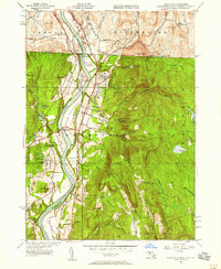 1945 Northfield1958 Print · USGSThe tri-state border region of Massachusetts, New Hampshire, and Vermont is shown here in the mid-1940s as a landscape of river-valley schools and railroads. Researchers can locate the Northfield Seminary, trace the Central Vermont Railway, or find family sites like Coller Cem and Sky Farm.2 unique versions available
 - 1946 Map of Northfield
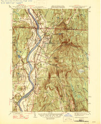 1946 Northfield1946 Print · USGSThe Connecticut River valley and the tri-state border region of Massachusetts, New Hampshire, and Vermont are captured here during the mid-forties. Researchers can trace the grounds of the Northfield Seminary, locate rural burial sites like South Mtn Cem, and follow the old rail lines serving Mt Hermon Sta.2 unique versions available
 - 1948 Map of Albany, 1951 Print
 1948 Albany1951 Print · USGSThe Hudson and Connecticut River valleys are captured here in the late 1940s, showing the vital rail and water corridors of the Northeast. You can trace the Boston and Maine tracks past Mt Greylock or locate early settlements like Great Barrington and Bennington.
 - 1956 Map of Albany, 1968 Print
 1956 Albany1968 Print · USGSThe industrial heart of the Northeast is revealed in the mid-1950s, from the Hudson Valley to the Connecticut River. Researchers can trace the legacy of the Quabbin Reservoir, locate Westover Air Force Base, or follow the Rutland RR through the Green Mountains.2 unique versions available
 - 1957 Map of Albany
 1957 Albany1957 Print · USGSThe Tri-State region and Connecticut River Valley are captured here during a period of significant postwar growth and infrastructure expansion. Genealogists and historians can trace the rail-and-river economy through landmarks like the Boston and Maine railroad, Quabbin Reservoir, and Westover Air Force Base.
 - 1959 Map of Albany
 1959 Albany1959 Print · USGSThe Hudson and Connecticut River valleys are captured here during the late fifties, showing the region's dense rail networks and massive water projects. Researchers can trace the New York State Thruway or locate local landmarks like Mt Greylock and the Quabbin Reservoir.
 - 1961 Map of Northfield, 1963 Print
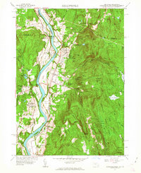 1961 Northfield1963 Print · USGSThe Connecticut River valley at the tri-state border was a hub of academic and rail life in the early sixties. Genealogists can trace family plots at West Northfield Cem and Coller Cem or locate the sprawling grounds of the Northfield School for Boys.2 unique versions available
 - 1962 Map of Albany
 1962 Albany1962 Print · USGSThe Hudson and Connecticut River valleys meet the Green Mountains and Berkshires in this mid-century overview of the Northeast. Genealogists and historians can trace the industrial hearts of Albany and Springfield or locate features like Quabbin Reservoir and Westover Air Force Base.
 - 1975 Map of Northfield, 1981 Print
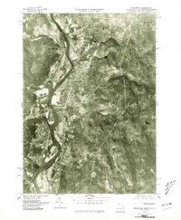 1975 Northfield1981 Print · USGSThe Connecticut River valley during the mid-seventies is captured in this detailed aerial view of the Massachusetts and New Hampshire borderlands. Researchers can trace the exact footprint of riverfront settlements like Northfield and rural junctions such as Curtis Corner or Gill Station.
 - 1977 Map of Northfield, 1978 Print
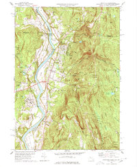 1977 Northfield1978 Print · USGSThe Pioneer Valley at the junction of three states shows a landscape of river-plain farming and mountain forests in the mid-1970s. Researchers can locate family heritage sites from Mt Hermon to the Tyler Cem, or trace the rail lines through East Northfield.3 unique versions available
 - 1986 Map of Keene
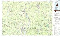 1986 Keene1986 Print · USGSThe tri-state borderlands of the Connecticut River Valley come alive in this mid-eighties survey of southern Vermont, New Hampshire, and Massachusetts. Genealogists and historians can trace rail-era villages like Ashuelot and Millers Falls alongside landmarks like Marlboro College and Monadnock Mountain.3 unique versions available
 - 1990 Map of Northfield
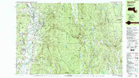 1990 Northfield1990 Print · USGSThe tri-state border of Massachusetts, New Hampshire, and Vermont comes into focus in the 1990s as a landscape of river valleys and forested peaks. Researchers can trace the grounds of the Northfield Mt Hermon School or locate old burial sites like South Parish Cem and Center Cem.2 unique versions available
 - 2012 Map of Northfield, 2012 Print
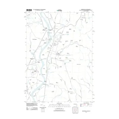 2012 Northfield2012 Print · USGSThe Connecticut River valley comes to life in this early twenty-first-century survey of the Massachusetts and New Hampshire borderlands. Genealogists can trace family plots at South Parish Cem and Pentecost Cem, or locate landmarks like Satans Kingdom and Munns Ferry.
 - 2015 Map of Northfield, 2015 Print
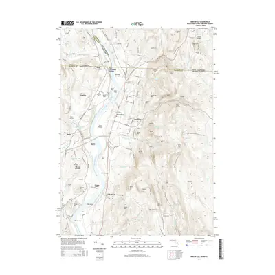 2015 Northfield2015 Print · USGSThe Connecticut River valley at the New Hampshire, Vermont, and Massachusetts borders remains a landscape of historic river crossings and hillside farms. Researchers can trace the grounds of Mount Hermon, the site of Munns Ferry, and numerous family burial sites like Saint Marys Cem.
 - 2018 Map of Northfield, 2018 Print
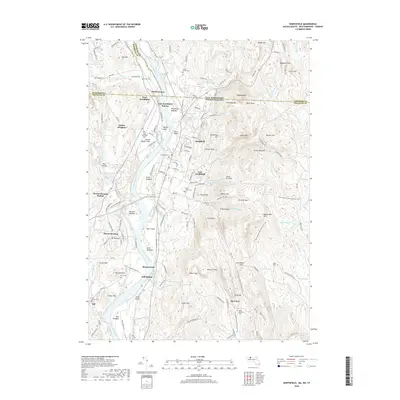 2018 Northfield2018 Print · USGSCrossing the New England tri-state border in the late twenty-teens, this survey illustrates a landscape shaped by the Connecticut River and its valley settlements. Researchers can trace local landmarks like Munns Ferry, the Schell Bridge, and the grounds of Mount Hermon.
 - 2021 Map of Northfield, 2021 Print
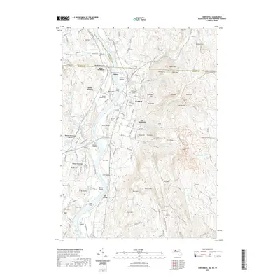 2021 Northfield2021 Print · USGSThe tri-state border region of Massachusetts, New Hampshire, and Vermont comes into focus as it appeared in the early 2020s. Researchers can trace the legacy of the Moody family at the Dwight and Emma Moody Gravesite or locate river crossings like Munns Ferry and the Schell Bridge.
 - 2024 Map of Northfield, 2024 Print
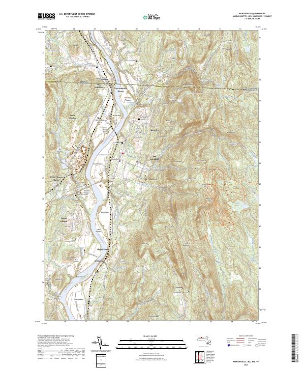 2024 Northfield2024 Print · USGSThe Connecticut River valley at the meeting of Massachusetts, New Hampshire, and Vermont shows a landscape of long-standing river settlements and upland farms. You can trace family history through sites like Saint Mary's Cem, the Dwight and Emma Moody Gravesite, and the historic Munns Ferry crossing.
End of results
Showing maps 1-25 of 25
Top cities near South Vernon
- Keene historical maps
- Greenfield historical maps
- Athol historical maps
- Montague historical maps
- Orange historical maps
- Brattleboro historical maps
See more
Frequently asked questions
- What are the different types of historical maps available for South Vernon?
- What is the oldest map of South Vernon?
- Where can I purchase historical maps of South Vernon for my home or office?
- Where can I download high-res historical maps of South Vernon?
- Are there historical topographic maps available for South Vernon?
- Is there historical aerial imagery available for South Vernon?
- Where are historical maps of South Vernon sourced from?