Old Maps of Windham, Vermont for Academic Research
Study the evolution of Windham with 31 high-resolution historic maps. Whether you're teaching, researching, or modeling changes in land use, these maps provide essential visual documentation of urban, environmental, and geographic change.
- Analyze long-term change: Track patterns in development, transportation, and natural features.
- Ideal for environmental or urban studies: Support academic projects with primary historical map data.
- Use in the classroom or lab: Educators and researchers rely on these maps to bring historical context to life.
These maps are a powerful tool for teaching, research, and visualizing how Windham has changed over the decades.
Windham, VT maps
(31)- 1894 Map of Londonderry
 1894 Londonderry1894 Print · USGSSouthern Vermont in the 1890s was a land of high ridges and isolated mountain hollows. Researchers can trace the early layout of South Londonderry and find now-quiet settlements like Bucketville and Wardsboro Center.
 - 1899 Map of Londonderry
 1899 Londonderry1899 Print · USGSThe Green Mountains in the late nineteenth century were defined by the deep valleys of the West River and the Central Vermont R.R. Genealogists can locate family homes in villages like Jamaica, South Londonderry, and the vanished Bucketville.8 unique versions available
 - 1930 Map of Saxtons River
 1930 Saxtons River1930 Print · USGSWindham County villages were still centers of rural life in the late 1920s as the Rutland RR steamed through the river valleys. Genealogists and historians can locate dozens of local schoolhouses like Round Sch (Dist No 1) and Walker Sch or trace family lands near Grafton and Newfane.2 unique versions available
 - 1933 Map of Saxtons River
 1933 Saxtons River1933 Print · USGSWindham County villages and upland farms are captured in the early 1930s as the regional economy centered on the river valleys. Genealogists can locate family landmarks like Burgess Cem and numerous district schools including No 12 Sch and Easton Sch.4 unique versions available
 - 1950 Map of Glens Falls
 1950 Glens Falls1950 Print · USGSThe Adirondacks and the Green Mountains meet in this mid-century survey of the New York and Vermont borderlands. Researchers can trace the industrial rail corridors of the Rutland RR and Delaware & Hudson RR connecting Glens Falls, Rutland, and the shores of Lake George.
 - 1956 Map of Glens Falls, 1968 Print
 1956 Glens Falls1968 Print · USGSUpper New York and the Vermont mountains are captured here in the mid-fifties, showing the rugged rail-and-river network of the Northeast. Researchers can trace the paths of the Delaware and Hudson RR and Rutland RR as they wind through valley towns like Poultney and Whitehall.3 unique versions available
 - 1957 Map of Saxtons River, 1959 Print
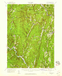 1957 Saxtons River1959 Print · USGSSoutheastern Vermont's river valleys and upland villages are captured in the late fifties, showing the region's transition into the mid-century. Researchers can locate family sites and local institutions like Easton Sch, Riverside Cem, and the tracks of the Rutland Railroad.3 unique versions available
 - 1957 Map of Londonderry, 1959 Print
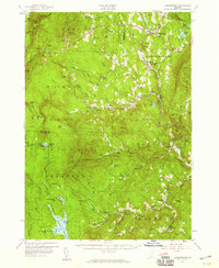 1957 Londonderry1959 Print · USGSThe Green Mountains in the late fifties reveal a transition from traditional timberlands to a burgeoning ski destination. Researchers can trace the Long Trail, locate family plots at Riverside Cem, and find landmarks like the Daniel Webster Historical Monument.3 unique versions available
 - 1959 Map of Glens Falls
 1959 Glens Falls1959 Print · USGSUpper New York and Vermont are captured here during the late 1950s, a period of transition for these mountain communities. Researchers can trace the legacy of the region's river-and-rail economy through landmarks like Lake George, Saratoga Springs, and Killington Peak.2 unique versions available
 - 1964 Map of Glens Falls
 1964 Glens Falls1964 Print · USGSThe tri-state borderlands of New York, Vermont, and New Hampshire appear here in the mid-1960s. Researchers can trace the rail routes of the Rutland RR and find historic sites like Ticonderoga and Saratoga National Historical Park.
 - 1984 Map of Saxtons River
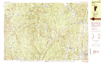 1984 Saxtons River1984 Print · USGSSoutheast Vermont in the 1980s was a landscape of deep river valleys and small villages tucked between the hills. Researchers can trace historic family burial sites at Middletown Cem, follow old roads through Lawrence Four Corners, and locate former mills at Brockways Mills.2 unique versions available
 - 1984 Map of Townshend
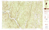 1984 Townshend1984 Print · USGSWindham County life in the mid-1980s is centered on the river valley and the wooded heights of the Green Mountains. Researchers can locate civic landmarks like the Town Hall (Round School) or trace family roots at Riverside Cem and Wiswall Cem.2 unique versions available
 - 1985 Map of Claremont, 1986 Print
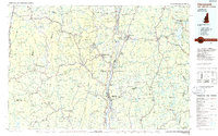 1985 Claremont1986 Print · USGSUpper Valley and Green Mountain life are captured here in the mid-eighties, centered on the river-linked hubs of Claremont and Springfield. Trace old family routes and rail lines like the Boston & Maine RR, or locate properties near Lake Sunapee and Mount Ascutney State Park.2 unique versions available
 - 1986 Map of Londonderry, 1987 Print
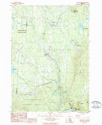 1986 Londonderry1987 Print · USGSWindham County at the dawn of the late eighties shows a landscape where mountain wilderness meets riverside villages. Genealogists and historians can locate old Cemeteries, the quiet hamlet of Thompsonburg, and the layout of South Londonderry along the West River.
 - 1997 Map of Londonderry, 2000 Print
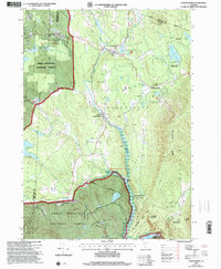 1997 Londonderry2000 Print · USGSThe West River valley in the late nineties shows a landscape balancing its mountain heritage with a growing winter sports industry. Genealogists and historians can trace family plots at Brooks Cem and Glebe View Cem or locate the site of the former Winhall Station.
 - 1997 Map of Townshend, 2000 Print
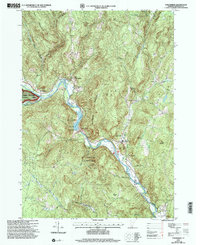 1997 Townshend2000 Print · USGSThe West River valley in the late nineties shows a landscape of mountain-shadowed villages and significant water management. Researchers can locate several family and community burial sites like Taft Cem or Oakwood Cem and trace the reservoir's impact on the land.
 - 2012 Map of Londonderry, 2012 Print
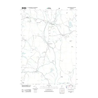 2012 Londonderry2012 Print · USGSWindham County's high country is captured here in the early twenty-first century, showing the intersection of river valleys and alpine recreation. Trace family roots through local burial sites like Glebe View Cem or explore the trails of the Magic Mountain Winter Sports Area.
 - 2012 Map of Windham, 2012 Print
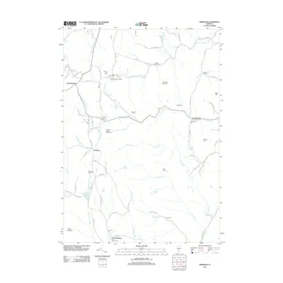 2012 Windham2012 Print · USGSWindham County in the early twenty-first century remains a landscape of high ridges and quiet river valleys. Genealogists and hikers can trace the paths between historic burial sites like Popple Dungeon Cem and peaks such as Timber Ridge Mountain.
 - 2012 Map of Townshend, 2012 Print
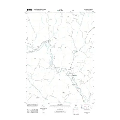 2012 Townshend2012 Print · USGSWindham County villages follow the path of the West River in the early 2010s, showing a mix of modern infrastructure and classic Vermont masonry. Genealogists and historians can locate numerous family burial grounds like Twitchell Cem or trace the engineering of the Scott Covered Bridge and Townshend Dam.
 - 2015 Map of Londonderry, 2015 Print
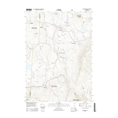 2015 Londonderry2015 Print · USGSWindham County’s high country comes into focus in this 2015 survey of the West River valley. Genealogists can trace family names through numerous burial sites like Osgood-Chubbuck Cem and Glebe View Cem near South Londonderry.
 - 2015 Map of Windham, 2015 Print
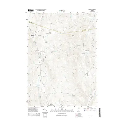 2015 Windham2015 Print · USGSWindham County at the midpoint of the 2010s reveals a landscape of high summits and deeply rooted valley settlements. Researchers can trace numerous family burial sites such as Windham Center Cem and Cobb-West Cem or locate the historic Popple Dungeon area.
 - 2015 Map of Townshend, 2015 Print
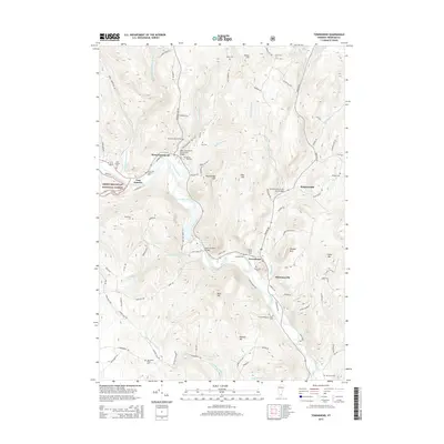 2015 Townshend2015 Print · USGSThe West River valley in the mid-2010s remains a landscape shaped by historic crossings and high Vermont peaks. Researchers can trace family sites at the Sanderson Burial Plot or examine architectural landmarks like the Scott Covered Bridge and Simpsonville Stone Arch Bridge.
 - 2018 Map of Windham, 2018 Print
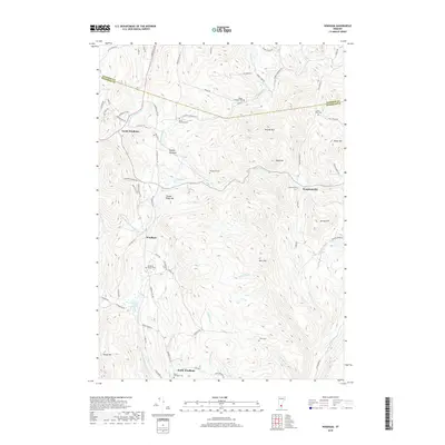 2018 Windham2018 Print · USGSWindham County at the close of the 2010s reveals a landscape of high summits and deeply etched river valleys. Local historians can trace family roots through the many rural burial grounds like Windham Center Cem and Popple Dungeon Cem or locate old crossings along the Saxtons River.
 - 2018 Map of Townshend, 2018 Print
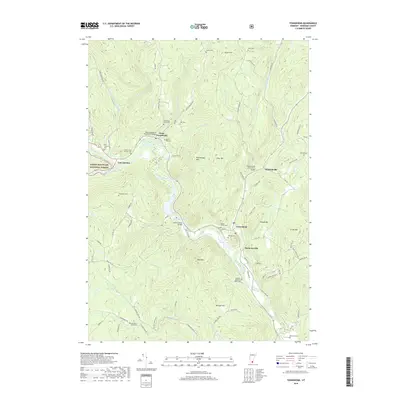 2018 Townshend2018 Print · USGSVermont’s West River valley is documented here in the early twenty-first century, showing a landscape defined by its historic river crossings and small upland settlements. Researchers can locate numerous family burial sites like the Sanderson Burial Plot or visit the landmark Scott Covered Bridge.
 - 2018 Map of Londonderry, 2018 Print
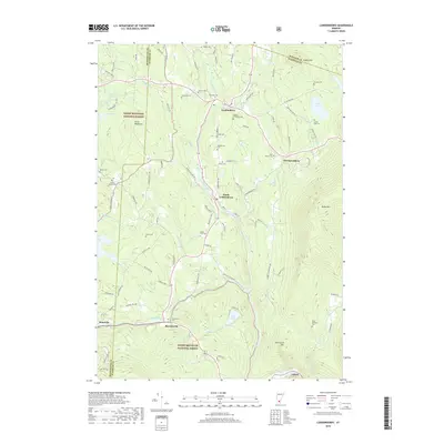 2018 Londonderry2018 Print · USGSThe West River valley in the southern Green Mountains shows its settled character through numerous cemeteries and mountain hamlets. Genealogists can trace family lines at Riverside Cem or Glebe View Cem, while exploring the surroundings of Rawsonville and Bondville.
Showing maps 1-25 of 31
Top cities near Windham
- Springfield historical maps
- Rockingham historical maps
- Westminster historical maps
- Ludlow Village historical maps
- Ludlow historical maps
- Wallingford historical maps
See more
Top neighborhoods of Windham
- South Windham Village Historic District historical maps
- Windham Village Historic District historical maps
Frequently asked questions
- What are the different types of historical maps available for Windham?
- What is the oldest map of Windham?
- Where can I purchase historical maps of Windham for my home or office?
- Where can I download high-res historical maps of Windham?
- Are there historical topographic maps available for Windham?
- Is there historical aerial imagery available for Windham?
- Where are historical maps of Windham sourced from?