Old Maps of Bethel, Vermont for Metal Detecting
Plan your next treasure hunt with 42 historic maps of Bethel. Find old homesites, ghost towns, trails, and gathering spots that may be lost to time — perfect for identifying promising metal detecting locations.
- Locate forgotten sites: Uncover places like long-lost settlements, abandoned rail lines, or gathering spots.
- Plan better hunts: Use map overlays combined with LiDAR or satellite views to narrow in on historically rich areas.
- Made for detectorists: Thousands of hobbyists use these maps to discover relics, coins, and hidden history.
Use these historic maps to boost your research and find new opportunities beneath the surface of Bethel.
Bethel, VT maps
(42)- 1915 Map of Rochester, 1963 Print
 1915 Rochester1963 Print · USGSThe Green Mountains in the early twentieth century were a landscape of remote hollow schools and narrow valley settlements. Genealogists and historians can trace old property lines and landmarks like the Williams Mine, Hancock Tunnel, and the Texas School.
 - 1917 Map of Rochester
 1917 Rochester1917 Print · USGSThe Green Mountains in the mid-1910s reveal a network of isolated valley settlements and high-altitude gaps. Genealogists and hikers can trace old mountain schools like Corner School and remote landmarks such as Bingo Camp and the Hancock Tunnel.5 unique versions available
 - 1919 Map of Royalton
 1919 Royalton1919 Print · USGSCentral Vermont in the aftermath of the Great War reveals a landscape of thriving hill farms and river-valley rail towns. Genealogists can trace family roots through numerous rural landmarks like Waldo Corners, Wilson School, and the Central Vermont R.R. corridor.
 - 1924 Map of Randolph
 1924 Randolph1924 Print · USGSMid-Vermont in the mid-1920s shows a landscape of river-valley commerce and mountain quarrying along the Central Vermont line. Genealogists can trace dozens of rural schoolhouses like Lost Nation School and Old Stone School, or locate the Bethel Granite Quarry.
 - 1926 Map of Randolph
 1926 Randolph1926 Print · USGSCentral Vermont in the mid-1920s was a landscape of river-valley rail hubs and upland hill farms. Genealogists can trace family names through dozens of schoolhouses like the Old Stone School or locate industrial sites like the Bethel Granite Quarry.5 unique versions available
 - 1950 Map of Glens Falls
 1950 Glens Falls1950 Print · USGSThe Adirondacks and the Green Mountains meet in this mid-century survey of the New York and Vermont borderlands. Researchers can trace the industrial rail corridors of the Rutland RR and Delaware & Hudson RR connecting Glens Falls, Rutland, and the shores of Lake George.
 - 1956 Map of Glens Falls, 1968 Print
 1956 Glens Falls1968 Print · USGSUpper New York and the Vermont mountains are captured here in the mid-fifties, showing the rugged rail-and-river network of the Northeast. Researchers can trace the paths of the Delaware and Hudson RR and Rutland RR as they wind through valley towns like Poultney and Whitehall.3 unique versions available
 - 1957 Map of Randolph, 1960 Print
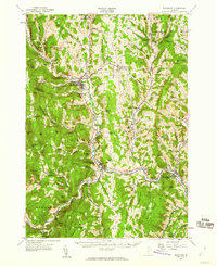 1957 Randolph1960 Print · USGSThe White River valley in the late fifties shows a landscape defined by its rail-and-river network and agricultural education roots. Researchers can trace local genealogy through sites like Braintree Ch and Fairview Cem or locate vanished civic landmarks like the Drive-in Theater.3 unique versions available
 - 1959 Map of Glens Falls
 1959 Glens Falls1959 Print · USGSUpper New York and Vermont are captured here during the late 1950s, a period of transition for these mountain communities. Researchers can trace the legacy of the region's river-and-rail economy through landmarks like Lake George, Saratoga Springs, and Killington Peak.2 unique versions available
 - 1964 Map of Glens Falls
 1964 Glens Falls1964 Print · USGSThe tri-state borderlands of New York, Vermont, and New Hampshire appear here in the mid-1960s. Researchers can trace the rail routes of the Rutland RR and find historic sites like Ticonderoga and Saratoga National Historical Park.
 - 1970 Map of Rochester, 1972 Print
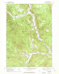 1970 Rochester1972 Print · USGSThe White River valley in the early seventies remains the heart of local life, with settlements like Rochester and Stockbridge anchored by the winding river. Researchers can trace family-named landmarks and rural outposts like Taleville, Jerusalem, and the St Dennis Ch across the mountain terrain.3 unique versions available
 - 1980 Map of Bethel, 1981 Print
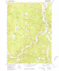 1980 Bethel1981 Print · USGSWindsor County's high ridges and river valleys are captured here in the early eighties, showing the traditional mountain settlements of the Green Mountains. Researchers can trace family sites at the Sylvester Plot Cem, the village of Gaysville, and the White River National Fish Hatchery.3 unique versions available
 - 1981 Map of South Royalton
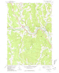 1981 South Royalton1981 Print · USGSWindsor County in the early eighties shows a landscape of river-valley villages and winding upland roads. Genealogists and local historians can trace family locations through sites like Hickey Cem, Haven Cem, and the village of East Bethel.2 unique versions available
 - 1981 Map of Randolph
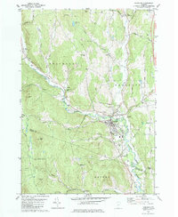 1981 Randolph1981 Print · USGSThe Orange County hills and river valleys around Randolph are captured here in the early 1980s. Local researchers can trace the Central Vermont rail line and locate historic landmarks like the General Thomas Monument and Pleasant View Cem.2 unique versions available
 - 1981 Map of Randolph Center
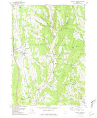 1981 Randolph Center1981 Print · USGSCentral Vermont in the late seventies reveals a landscape of ridge-top institutions and valley-floor hamlets. Trace family histories at Allen Cem or Kelsey Mtn Cem, and locate traditional landmarks like the Cilley Covered Bridge and Vermont Technical College.2 unique versions available
 - 1985 Map of Rutland, 1988 Print
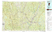 1985 Rutland1988 Print · USGSThe Upper Valley of the mid-1980s comes to life along the winding Connecticut River as it divides the Green Mountain and Granite states. Historians can trace the industrial rail hubs of White River Junction and the paths of the Appalachian Trail and Long Trail.
 - 1997 Map of Rochester, 2000 Print
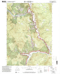 1997 Rochester2000 Print · USGSVermont's Green Mountains and river valleys are shown in detail during the late nineties, capturing a transition toward forest recreation and local heritage. Researchers can trace historic sites like the CCC Camp Interpretive Site, St Dennis Ch, and the hamlets of Talcville and Jerusalem.
 - 2012 Map of Bethel, 2012 Print
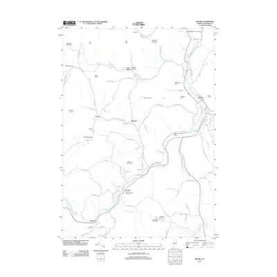 2012 Bethel2012 Print · USGSWindsor County’s river valleys and mountain gaps are captured here at the start of the decade, showing the communities of Bethel and Gaysville. Trace family history through Gilead Cemetery and Lympus Cemetery, or locate the Gilead Brook Covered Bridge and the Randall Drive-In.
 - 2012 Map of Randolph, 2012 Print
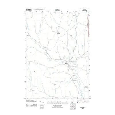 2012 Randolph2012 Print · USGSVermont's Central Highlands and the river valleys surrounding Randolph are documented here in the early twenty-first century. Family historians can trace numerous rural burial grounds such as Spear Cem and Peth Cem, alongside landmarks like the General Thomas Monument.
 - 2012 Map of Randolph Center, 2012 Print
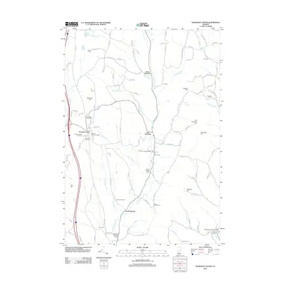 2012 Randolph Center2012 Print · USGSOrange County's rural hills and river valleys are captured here in the early twenty-first century as agricultural traditions endure. Researchers can trace the heritage of the White River valley through the C K Smith Covered Bridge, Randolph Center Cem, and North Randolph.
 - 2012 Map of South Royalton, 2012 Print
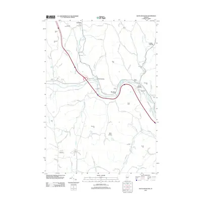 2012 South Royalton2012 Print · USGSSouth Royalton and the surrounding valleys are mapped here in the early twenty-first century as the White River courses through Orange County. Researchers can trace historic family burial sites and rural settlements, including East Bethel, Happy Hollow, and the North Road Methodist Cem.
 - 2012 Map of Rochester, 2012 Print
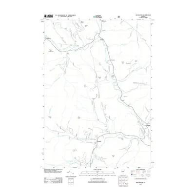 2012 Rochester2012 Print · USGSRutland County's river valleys and mountain peaks are captured here in the early twenty-first century, showing the enduring character of Vermont's mountain towns. Researchers can trace family history through sites like Parmenter Cem and New Boston or locate the Red Spruce Seed Production Area.
 - 2015 Map of Randolph, 2015 Print
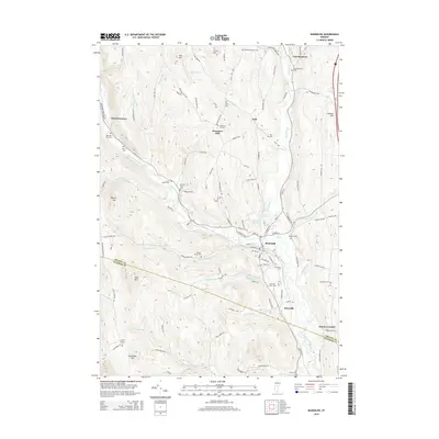 2015 Randolph2015 Print · USGSThe Randolph area and the valley of the Third Branch White River are shown here as they appeared in the early 21st century. Genealogists can trace family names through over a dozen rural burial sites, including the Braintree Hill Cem and Moulton Cem.
 - 2015 Map of Randolph Center, 2015 Print
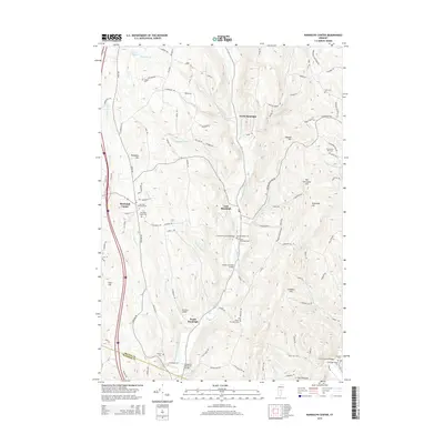 2015 Randolph Center2015 Print · USGSRandolph and the rural hill settlements of Orange County are captured here during the mid-2010s. Researchers can trace historic river crossings like Braley Covered Bridge and local landmarks like the Vermont Technical Coll.
 - 2015 Map of South Royalton, 2015 Print
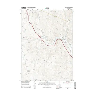 2015 South Royalton2015 Print · USGSRoyalton and the White River valley are shown here in the mid-2010s, capturing the area's mix of academic life and rural heritage. Researchers can locate many burial sites like the North Road-Methodist Cem and Cherry Hill Cem, or trace landmarks like the Vermont Law Sch.
Showing maps 1-25 of 42
Top cities near Bethel
- Hartford historical maps
- Randolph historical maps
- Williamstown historical maps
- Hartland historical maps
- Woodstock Village historical maps
- Woodstock historical maps
See more
Top neighborhoods of Bethel
- Lilliesville historical maps
- Lympus historical maps
- West Bethel historical maps
- East Bethel historical maps
- Camp Brook historical maps
Frequently asked questions
- What are the different types of historical maps available for Bethel?
- What is the oldest map of Bethel?
- Where can I purchase historical maps of Bethel for my home or office?
- Where can I download high-res historical maps of Bethel?
- Are there historical topographic maps available for Bethel?
- Is there historical aerial imagery available for Bethel?
- Where are historical maps of Bethel sourced from?