Old Maps of Stadium Road Residence Area, Albemarle County for Hiking & Exploration
Hike through history with 13 historic maps of Stadium Road Residence Area. Explore old trails, ghost towns, and forgotten backroads — perfect for outdoor adventurers and local explorers.
- Rediscover forgotten places: Map out old mining camps, roads, and footpaths that no longer exist on modern maps.
- Layer with modern tools: Combine with LiDAR or satellite views to plan hikes through historical terrain.
- Made for exploration: Popular among hikers, overlanders, and local history lovers.
Use these maps to find adventure and explore the hidden past of Stadium Road Residence Area.
Stadium Road Residence Area, Albemarle County maps
(13)- 1892 Map of Harrisonburg, 1901 Print
 1892 Harrisonburg1901 Print · USGSCovers Stadium Road Residence Area, including Harrisonburg, Waynesboro, and other nearby areas6 unique versions available
 - 1931 Map of University
 1931 University1931 Print · USGSCovers Stadium Road Residence Area, including University of Virginia, Crozet, and other nearby areas2 unique versions available
 - 1935 Map of Charlottesville And Vicinity
 1935 Charlottesville And Vicinity1935 Print · USGSCovers Stadium Road Residence Area, including Charlottesville, University of Virginia, and other nearby areas
 - 1935 Map of University, 1962 Print
 1935 University1962 Print · USGSCovers Stadium Road Residence Area, including University of Virginia, Crozet, and other nearby areas
 - 1949 Map of Charlottesville
 1949 Charlottesville1949 Print · USGSCovers Stadium Road Residence Area, including Harrisonburg, Charlottesville, and other nearby areas2 unique versions available
 - 1956 Map of Charlottesville, 1966 Print
 1956 Charlottesville1966 Print · USGSCovers Stadium Road Residence Area, including Harrisonburg, Charlottesville, and other nearby areas4 unique versions available
 - 1960 Map of Charlottesville And Vicinity
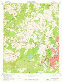
 1960 Charlottesville And Vicinity1960 Print · USGSCovers Stadium Road Residence Area, including Charlottesville, University of Virginia, and other nearby areas
 - 1964 Map of Charlottesville West, 1966 Print
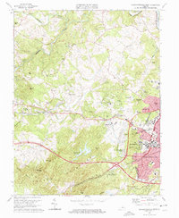
 1964 Charlottesville West1966 Print · USGSCovers Stadium Road Residence Area, including University of Virginia, Ivy, and other nearby areas2 unique versions available
 - 1972 Map of Charlottesville West, 1974 Print
 1972 Charlottesville West1974 Print · USGSCovers Stadium Road Residence Area, including University of Virginia, Ivy, and other nearby areas
 - 1973 Map of Charlottesville West, 1974 Print
 1973 Charlottesville West1974 Print · USGSCovers Stadium Road Residence Area, including University of Virginia, Ivy, and other nearby areas3 unique versions available
 - 1977 Map of Charlottesville West, 1982 Print
 1977 Charlottesville West1982 Print · USGSCovers Stadium Road Residence Area, including University of Virginia, Ivy, and other nearby areas
 - 1986 Map of Charlottesville
 1986 Charlottesville1986 Print · USGSCovers Stadium Road Residence Area, including Harrisonburg, Charlottesville, and other nearby areas3 unique versions available
 - 1997 Map of Charlottesville West, 1999 Print
 1997 Charlottesville West1999 Print · USGSCovers Stadium Road Residence Area, including University of Virginia, Ivy, and other nearby areas
End of results
Showing maps 1-13 of 13
Frequently asked questions
- What are the different types of historical maps available for Stadium Road Residence Area?
- What is the oldest map of Stadium Road Residence Area?
- Where can I purchase historical maps of Stadium Road Residence Area for my home or office?
- Where can I download high-res historical maps of Stadium Road Residence Area?
- Are there historical topographic maps available for Stadium Road Residence Area?
- Is there historical aerial imagery available for Stadium Road Residence Area?
- Where are historical maps of Stadium Road Residence Area sourced from?