Old Maps of Arlington County, Virginia
Explore 29 old maps of Arlington County, spanning from 1890 to today. These high-resolution historic maps reveal how streets, neighborhoods, landmarks, and natural features evolved over time — perfect for genealogy, metal detecting, research, and local history exploration.
What you can do with these maps:
- See how Arlington County changed over time: Compare historical maps to modern-day views to trace roads, homesites, rail lines & more.
- View detailed metadata: Each map includes creators, publishers, year, scale, and archive source.
- Overlay maps with satellite & LiDAR: Visualize the past alongside modern tools to explore terrain & human change.
- Trusted historical sources: Maps sourced from the USGS, Library of Congress, and other archives.
- Access maps your way: View online, download high-res files, or order prints for personal or research use.
Start exploring old maps of Arlington County to uncover forgotten places, hidden landmarks, and the deep history beneath your feet.
Arlington County, VA maps
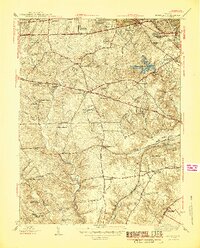
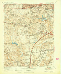
(29)- 1890 Map of Mt. Vernon
 1890 Mt. Vernon1890 Print · USGSCovers Arlington County, including Washington, Arlington, and other nearby areas
 - 1891 Map of Mt. Vernon
 1891 Mt. Vernon1891 Print · USGSCovers Arlington County, including Washington, Arlington, and other nearby areas
 - 1894 Map of Mt. Vernon, 1904 Print
 1894 Mt. Vernon1904 Print · USGSCovers Arlington County, including Washington, Arlington, and other nearby areas6 unique versions available
 - 1897 Map of Mt. Vernon
 1897 Mt. Vernon1897 Print · USGSCovers Arlington County, including Washington, Arlington, and other nearby areas2 unique versions available
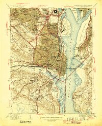
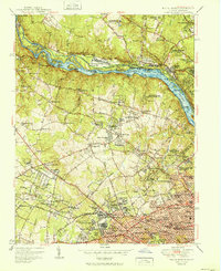
 - 1900 Map of Washington
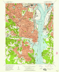
 1900 Washington1900 Print · USGSCovers Arlington County, including Washington, Arlington, and other nearby areas2 unique versions available
 - 1945 Map of Annandale
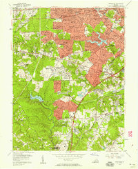
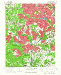
 1945 Annandale1945 Print · USGSCovers Arlington County, including Annandale, Springfield, and other nearby areas2 unique versions available
 - 1945 Map of Alexandria
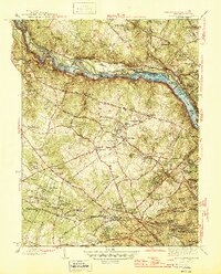
 1945 Alexandria1945 Print · USGSCovers Arlington County, including Washington, Alexandria, and other nearby areas
 - 1945 Map of Washington West
 1945 Washington West1945 Print · USGSCovers Arlington County, including Washington, Arlington, and other nearby areas
 - 1945 Map of Falls Church
 1945 Falls Church1945 Print · USGSCovers Arlington County, including Bethesda, McLean, and other nearby areas2 unique versions available
 - 1948 Map of Washington
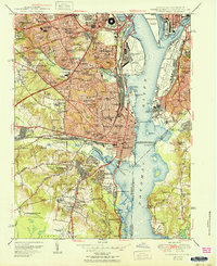
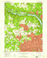
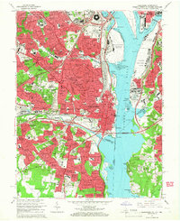
 1948 Washington1948 Print · USGSCovers Arlington County, including Washington, Arlington, and other nearby areas2 unique versions available
 - 1951 Map of Washington West
 1951 Washington West1951 Print · USGSCovers Arlington County, including Washington, Arlington, and other nearby areas
 - 1951 Map of Alexandria
 1951 Alexandria1951 Print · USGSCovers Arlington County, including Washington, Alexandria, and other nearby areas
 - 1951 Map of Annandale
 1951 Annandale1951 Print · USGSCovers Arlington County, including Annandale, Springfield, and other nearby areas2 unique versions available
 - 1951 Map of Falls Church
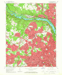
 1951 Falls Church1951 Print · USGSCovers Arlington County, including Bethesda, McLean, and other nearby areas
 - 1956 Map of Falls Church, 1958 Print
 1956 Falls Church1958 Print · USGSCovers Arlington County, including Bethesda, McLean, and other nearby areas2 unique versions available
 - 1956 Map of Annandale, 1958 Print
 1956 Annandale1958 Print · USGSCovers Arlington County, including Annandale, Springfield, and other nearby areas
 - 1956 Map of Alexandria, 1958 Print
 1956 Alexandria1958 Print · USGSCovers Arlington County, including Washington, Alexandria, and other nearby areas
 - 1956 Map of Washington West, 1958 Print
 1956 Washington West1958 Print · USGSCovers Arlington County, including Washington, Arlington, and other nearby areas
 - 1957 Map of Washington, 1966 Print
 1957 Washington1966 Print · USGSCovers Arlington County, including Washington, Arlington, and other nearby areas5 unique versions available
 - 1961 Map of Washington
 1961 Washington1961 Print · USGSCovers Arlington County, including Washington, Arlington, and other nearby areas2 unique versions available
 - 1965 Map of Annandale, 1966 Print
 1965 Annandale1966 Print · USGSCovers Arlington County, including Annandale, Springfield, and other nearby areas6 unique versions available
 - 1965 Map of Alexandria, 1966 Print
 1965 Alexandria1966 Print · USGSCovers Arlington County, including Washington, Alexandria, and other nearby areas6 unique versions available
 - 1965 Map of Falls Church, 1966 Print
 1965 Falls Church1966 Print · USGSCovers Arlington County, including Bethesda, McLean, and other nearby areas5 unique versions available
 - 1965 Map of Washington West, 1966 Print
 1965 Washington West1966 Print · USGSCovers Arlington County, including Washington, Arlington, and other nearby areas4 unique versions available
 - 1982 Map of Washington West, 1983 Print
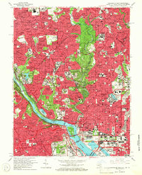
 1982 Washington West1983 Print · USGSCovers Arlington County, including Washington, Arlington, and other nearby areas
Showing maps 1-25 of 29
Top cities of Arlington County
Frequently asked questions
- What are the different types of historical maps available for Arlington County?
- What is the oldest map of Arlington County?
- Where can I purchase historical maps of Arlington County for my home or office?
- Where can I download high-res historical maps of Arlington County?
- Are there historical topographic maps available for Arlington County?
- Is there historical aerial imagery available for Arlington County?
- Where are historical maps of Arlington County sourced from?