Old Maps of Arlington County, Virginia for Metal Detecting
Plan your next treasure hunt with 49 historic maps of Arlington County. Find old homesites, ghost towns, trails, and gathering spots that may be lost to time — perfect for identifying promising metal detecting locations.
- Locate forgotten sites: Uncover places like long-lost settlements, abandoned rail lines, or gathering spots.
- Plan better hunts: Use map overlays combined with LiDAR or satellite views to narrow in on historically rich areas.
- Made for detectorists: Thousands of hobbyists use these maps to discover relics, coins, and hidden history.
Use these historic maps to boost your research and find new opportunities beneath the surface of Arlington County.
Arlington County, VA maps
(49)- 1890 Map of Mt. Vernon
 1890 Mt. Vernon1890 Print · USGSNorthern Virginia and the capital region appear here in the decade before the turn of the century, showing a landscape of river estates and rail-connected villages. Researchers can trace early property sites and historic river landings from Mt. Vernon to Occoquan and Falls Church.
 - 1891 Map of Mt. Vernon
 1891 Mt. Vernon1891 Print · USGSNorthern Virginia and the D.C. area appear here in the late nineteenth century, as the rail-and-river economy connected rural counties to the capital. Researchers can trace ancestral roots through dozens of local landmarks, including Arlington National Cemetery, the Fox Ferry, and historic towns like Occoquan and Vienna.
 - 1894 Map of Mt. Vernon, 1904 Print
 1894 Mt. Vernon1904 Print · USGSThe Potomac River valley south of the capital was still largely a landscape of crossroads and rail depots in the late nineteenth century. Genealogists can trace the rural reaches of Fairfax through landmarks like Arlington National Cemetery, Mt. Vernon, and Tyson Cross Roads.6 unique versions available
 - 1897 Map of Mt. Vernon
 1897 Mt. Vernon1897 Print · USGSNorthern Virginia and the Potomac River appear in the late nineteenth century as a landscape of rural crossroads and strategic fortifications. Trace the early footprints of Vienna, Herndon, and Manassas along the path of the Southern R. R.2 unique versions available
 - 1900 Map of Washington
 1900 Washington1900 Print · USGSThe capital region at the turn of the century shows a landscape of river-borne commerce and expanding rail lines. Genealogists and historians can trace defunct transport links like the Shepherd Ferry and early suburbs like North Takoma and Jackson City.2 unique versions available
 - 1945 Map of Annandale
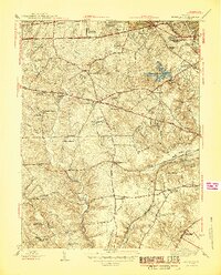 1945 Annandale1945 Print · USGSIn the mid-1940s, Fairfax County was a landscape of historic crossroads and new suburban growth. You can trace the development of Annandale and Baileys Crossroads or locate family landmarks like Sydenstricker Chapel, Franconia Sch, and Edsall.2 unique versions available
 - 1945 Map of Alexandria
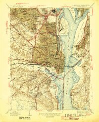 1945 Alexandria1945 Print · USGSAlexandria and Arlington are shown at the height of the Second World War, featuring the newly built Pentagon Building and a heavy military presence. Researchers can trace historic cemeteries, the sprawling Potomac Yard rail hub, and numerous old fortifications like Fort Reynolds and Fort Willard.
 - 1945 Map of Washington West
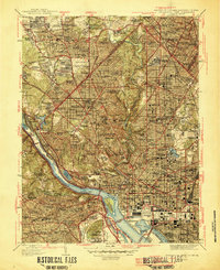 1945 Washington West1945 Print · USGSThe District of Columbia and its surrounding suburbs appear in detail during the mid-forties, capturing the city's growth and its transition to a modern capital. Researchers can trace historic neighborhoods from Tenleytown to Rosslyn and locate landmarks like the Tomb of Unknown Soldier and Rock Creek Cem.
 - 1945 Map of Falls Church
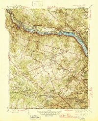 1945 Falls Church1945 Print · USGSFairfax County and the Potomac River corridor are captured during a period of transition in the mid-1940s. Genealogists and local historians can trace the early footprints of Tysons Crossroads, the route of the Washington and Old Dominion Railroad, and landmarks like Fort Marcy.2 unique versions available
 - 1948 Map of Washington
 1948 Washington1948 Print · USGSThe Potomac and Chesapeake regions in the late 1940s reveal a landscape of expanding military reach and deep-rooted Tidewater settlements. Trace old rail corridors like the Richmond Fredericksburg & Potomac RR or locate landmarks like the Wakefield Washington Monument and St. Marys College.2 unique versions available
 - 1951 Map of Washington West
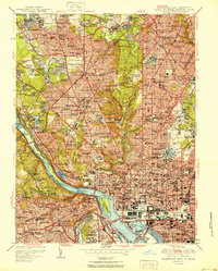 1951 Washington West1951 Print · USGSWashington D.C. and its Maryland and Virginia suburbs appear here in the early fifties, just as the metropolitan area was beginning its massive post-war growth. Researchers can locate vanished streetscapes and institutional landmarks like the U S Soldiers Home, Glenwood Cem, and the historic Washington Cathedral.
 - 1951 Map of Alexandria
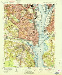 1951 Alexandria1951 Print · USGSGreater Alexandria and Arlington are shown here in the early fifties during a period of massive suburban and military expansion. Researchers can trace the mid-century footprints of the Pentagon Building, the extensive rail lines of Potomac Yard, and local landmarks like Beacon Field.
 - 1951 Map of Annandale
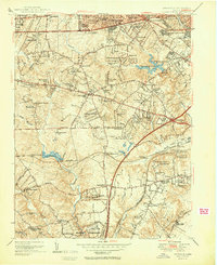 1951 Annandale1951 Print · USGSPost-war Fairfax County is seen here during a period of rapid suburbanization and growth. Genealogists and local historians can trace early residential clusters like Tremont Gardens and locate landmarks such as Falls Church Airport and Sydenstricker Chapel.2 unique versions available
 - 1951 Map of Falls Church
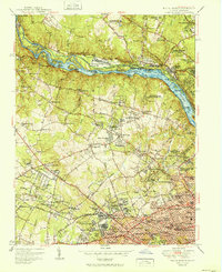 1951 Falls Church1951 Print · USGSFairfax and Montgomery counties during the post-war era reveal a mix of traditional crossroads and rapid suburban growth along the Potomac River. Genealogists and historians can trace the Washington and Old Dominion Railroad corridor and locate landmarks like Swinks Mill and Oakwood Cem.
 - 1956 Map of Falls Church, 1958 Print
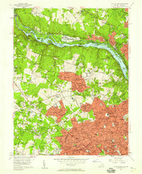 1956 Falls Church1958 Print · USGSNorthern Virginia and suburban Maryland are captured in the mid-fifties, showing the region as postwar residential growth began to surge. Researchers can trace the path of the Washington and Old Dominion RR and find historic local sites like Swinks Mill, Odricks Corner, and the Chesapeake and Ohio Canal.2 unique versions available
 - 1956 Map of Annandale, 1958 Print
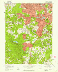 1956 Annandale1958 Print · USGSNorthern Virginia is transitioning into a modern suburban hub in the mid-fifties as new neighborhoods rise near Seven Corners. Trace the development of Baileys Crossroads or locate early landmarks like Wakefield Chapel and the Falls Church Airpark.
 - 1956 Map of Alexandria, 1958 Print
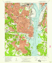 1956 Alexandria1958 Print · USGSNorthern Virginia and D.C. are captured here in the mid-fifties during a period of rapid suburban and military growth. Genealogists and historians can trace family roots through neighborhood schools like Hoffman Boston High Sch or locate ancestors at Ivy Hill Cem and Alexandria National Cem.
 - 1956 Map of Washington West, 1958 Print
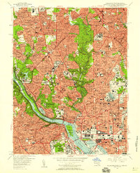 1956 Washington West1958 Print · USGSMid-century Washington and its Maryland and Virginia suburbs appear here during a transformative era of growth. Genealogists and historians can trace neighborhood development and find landmarks like Arlington National Cemetery, the U S Capitol, and Georgetown University.
 - 1957 Map of Washington, 1966 Print
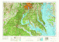 1957 Washington1966 Print · USGSThe mid-Atlantic region during the mid-fifties and early sixties reveals a landscape of growing suburbs and vital military outposts. Researchers can trace historic river towns and shorelines from Alexandria to the Hooper Islands and St Clements Island.5 unique versions available
 - 1961 Map of Washington
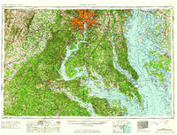 1961 Washington1961 Print · USGSThe mid-Atlantic region in the late fifties is presented in remarkable detail, from the Blue Ridge foothills to the Chesapeake Eastern Shore. Researchers can trace historic river landings and military sites like Mount Vernon, Fort Belvoir, and Point Lookout.2 unique versions available
 - 1965 Map of Annandale, 1966 Print
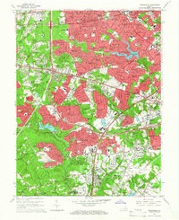 1965 Annandale1966 Print · USGSMid-century Fairfax County is captured during its period of most intense suburban growth, as new highways began to weave through established neighborhoods. Genealogists and local historians can trace the development of Annandale and Springfield alongside landmarks like Edsall Station and Lake Barcroft.6 unique versions available
 - 1965 Map of Alexandria, 1966 Print
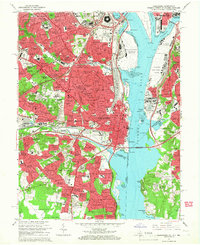 1965 Alexandria1966 Print · USGSNorthern Virginia and the District of Columbia are shown in detail during the mid-sixties suburban boom. Genealogists and local historians can trace family locations near the Alexandria National Cemetery, the Arlington National Cemetery, and Mount Comfort Cemetery.6 unique versions available
 - 1965 Map of Falls Church, 1966 Print
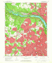 1965 Falls Church1966 Print · USGSFairfax County and Montgomery County are shown here during a period of massive suburban growth in the mid-sixties. Genealogists and local historians can trace the development of McLean and Falls Church while locating landmarks like the Clara Barton House and the Washington and Old Dominion rail line.5 unique versions available
 - 1965 Map of Washington West, 1966 Print
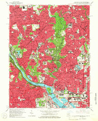 1965 Washington West1966 Print · USGSGreater Washington and its immediate suburbs are captured in the mid-sixties, from the bustling streets of Georgetown to the expanding campus of Bethesda. Genealogists and historians can trace the grounds of Arlington National Cemetery, Oak Hill Cem, and the historic neighborhoods of Rosslyn and Chevy Chase.4 unique versions available
 - 1982 Map of Washington West, 1983 Print
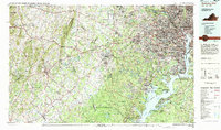 1982 Washington West1983 Print · USGSThe Virginia and Maryland suburbs were undergoing intense development in the early eighties as the capital region expanded outward. Researchers can trace the footprint of Cold War-era defense sites like Fort Belvoir and Vint Hill Farms Station alongside growing academic centers like George Mason University.
Showing maps 1-25 of 49
Top cities of Arlington County
Frequently asked questions
- What are the different types of historical maps available for Arlington County?
- What is the oldest map of Arlington County?
- Where can I purchase historical maps of Arlington County for my home or office?
- Where can I download high-res historical maps of Arlington County?
- Are there historical topographic maps available for Arlington County?
- Is there historical aerial imagery available for Arlington County?
- Where are historical maps of Arlington County sourced from?