Old Maps of Crimora, Virginia for Genealogy
Trace your family roots with 14 historic maps of Crimora. These high-res maps reveal old neighborhoods, homesites, landmarks, and streets — helping you uncover where your ancestors lived and how the area evolved over time.
- Explore historic neighborhoods: Identify where your relatives may have lived in the 1800s or 1900s.
- Compare maps over time: Trace the changes in streets, buildings, and landmarks for multi-generational research.
- Perfect for genealogy & ancestry research: Used by family historians and researchers to map out lineage and migration.
These maps are an incredible resource for exploring your personal connection to Crimora's past.
Crimora, VA maps
(14)- 1892 Map of Harrisonburg, 1901 Print
 1892 Harrisonburg1901 Print · USGSThe Shenandoah Valley during the 1890s reveals a landscape of thriving springs, mills, and emerging industry across Rockingham and Albemarle counties. Genealogists can trace family locations through sites like Meyerhoffer's Store, the Crimora Mine, and the University of Virginia Observatory.6 unique versions available
 - 1934 Map of Waynesboro
 1934 Waynesboro1934 Print · USGSAugusta County settlements and Blue Ridge rail lines are captured here in the mid-1930s as the regional economy modernized. Local historians can trace old schools and churches from Fort Defiance to Lipscomb, including Old Stone Ch and the Blue Ridge Tunnel.2 unique versions available
 - 1939 Map of Waynesboro
 1939 Waynesboro1939 Print · USGSThe Shenandoah Valley meets the Blue Ridge in the late 1930s, showing a critical crossroads of rail and mountain passage. Genealogists can trace family names and institutions from the Augusta Military Academy at Fort Defiance to the Blue Ridge Tunnel near Waynesboro.3 unique versions available
 - 1949 Map of Charlottesville
 1949 Charlottesville1949 Print · USGSThe Shenandoah Valley and Blue Ridge appear in the late 1940s as a thriving corridor of rail and river commerce. Researchers can trace the mid-century footprints of Harrisonburg, Staunton, and Culpeper alongside the historic routes of the Southern Railway.2 unique versions available
 - 1956 Map of Charlottesville, 1966 Print
 1956 Charlottesville1966 Print · USGSThe Shenandoah Valley and Blue Ridge are captured in detail during the mid-1960s as the modern interstate system began to emerge. Genealogists and historians can trace rail-connected hubs like Waynesboro or follow the river paths of the Rapidan River and Rivanna River.4 unique versions available
 - 1965 Map of Crimora, 1966 Print
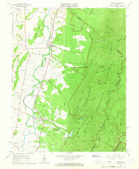 1965 Crimora1966 Print · USGSThe Blue Ridge foothills meet the Shenandoah Valley in the mid-1960s, showing a landscape shaped by mining and mountain travel. Genealogists can locate family sites like Morning Star Cem and Mt Horeb Ch alongside the Crimora Mine.3 unique versions available
 - 1977 Map of Crimora, 1982 Print
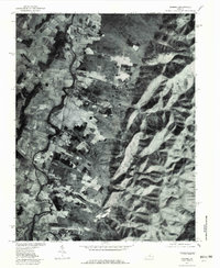 1977 Crimora1982 Print · USGSAugusta County, Virginia, is seen from above in the late 1970s as the South River winds past valley settlements. Genealogists and local historians can trace the homesteads around Crimora and Harriston or follow the path of Skyline Drive along the ridge.
 - 1986 Map of Charlottesville
 1986 Charlottesville1986 Print · USGSCentral Virginia in the mid-eighties shows a landscape balanced between the growing city centers of the Piedmont and the protected ridges of the Blue Ridge. Trace the historic rail lines of the Chesapeake and Ohio Railway or locate local landmarks like Monticello Mountain and Bridgewater College.3 unique versions available
 - 1997 Map of Crimora, 1999 Print
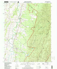 1997 Crimora1999 Print · USGSAugusta County’s valley floor meets the Blue Ridge Mountains in the 1990s, where river-side communities sit in the shadow of the national park. Genealogists can trace local landmarks like Mt Bethel Ch, Mountain View Cem, and the railway hamlets of Harriston and Madrid.
 - 2010 Map of Crimora, 2010 Print
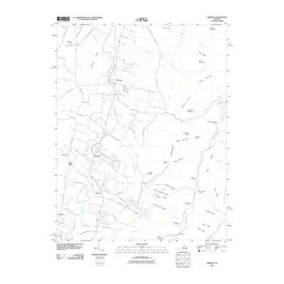 2010 Crimora2010 Print · USGSThe eastern reaches of Augusta County are shown here in the early twenty-first century as they meet the mountains. Researchers can trace family history at Old Cemetery and Mountain View Cemetery or locate the historic Crimora Mine near the park boundary.
 - 2013 Map of Crimora, 2013 Print
 2013 Crimora2013 Print · USGSThe Shenandoah Valley floor meets the Blue Ridge mountains in this early twenty-first-century survey of Augusta County. Trace family roots and local history through landmarks like Mount Horeb Cem, the Red Mills settlement, and Forest Chapel.
 - 2016 Map of Crimora, 2016 Print
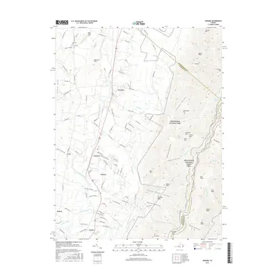 2016 Crimora2016 Print · USGSAugusta County, Virginia, is shown here as the Shenandoah Valley floor meets the Blue Ridge Mountains in the mid-2010s. Researchers can trace local history through settlements like Crimora and Dooms, or locate family sites such as Mountain View Cem and Edgewood Cem.
 - 2019 Map of Crimora, 2019 Print
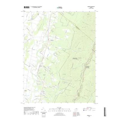 2019 Crimora2019 Print · USGSThe South River valley meets the Blue Ridge in the late 2010s, showing a landscape of established small settlements and protected mountain wilderness. Genealogists and hikers can trace historical connections at Mount Horeb Church, Mountain View Cem, and the trails through Shenandoah National Park.
 - 2022 Map of Crimora, 2022 Print
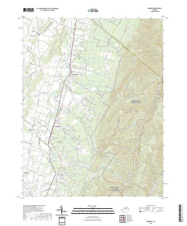 2022 Crimora2022 Print · USGSAugusta County’s eastern valley meets the Blue Ridge in the early twenty-first century, showing the enduring footprint of rail and mountain industry. Genealogists can locate several local burial grounds, including Trinity Lutheran Cem, Edgewood Cem, and Mountain View Cem.
End of results
Showing maps 1-14 of 14
Top cities near Crimora
- Waynesboro historical maps
- Stuarts Draft historical maps
- Crozet historical maps
- Bridgewater historical maps
- Verona historical maps
- Weyers Cave historical maps
See more
Frequently asked questions
- What are the different types of historical maps available for Crimora?
- What is the oldest map of Crimora?
- Where can I purchase historical maps of Crimora for my home or office?
- Where can I download high-res historical maps of Crimora?
- Are there historical topographic maps available for Crimora?
- Is there historical aerial imagery available for Crimora?
- Where are historical maps of Crimora sourced from?