Old Maps of Sheep Meadow, Bath County for Genealogy
Trace your family roots with 11 historic maps of Sheep Meadow. These high-res maps reveal old neighborhoods, homesites, landmarks, and streets — helping you uncover where your ancestors lived and how the area evolved over time.
- Explore historic neighborhoods: Identify where your relatives may have lived in the 1800s or 1900s.
- Compare maps over time: Trace the changes in streets, buildings, and landmarks for multi-generational research.
- Perfect for genealogy & ancestry research: Used by family historians and researchers to map out lineage and migration.
These maps are an incredible resource for exploring your personal connection to Sheep Meadow's past.
Sheep Meadow, Bath County maps
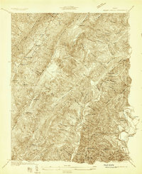
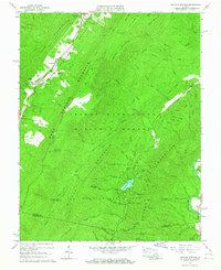
(11)- 1894 Map of Natural Bridge, 1898 Print
 1894 Natural Bridge1898 Print · USGSCovers Sheep Meadow, including Covington, Clifton Forge, and other nearby areas7 unique versions available
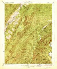
 - 1931 Map of Healing Springs
 1931 Healing Springs1931 Print · USGSCovers Sheep Meadow, including Hot Springs, Ashwood, and other nearby areas2 unique versions available
 - 1933 Map of Healing Springs
 1933 Healing Springs1933 Print · USGSCovers Sheep Meadow, including Hot Springs, Ashwood, and other nearby areas3 unique versions available
 - 1945 Map of Clifton Forge, 1963 Print
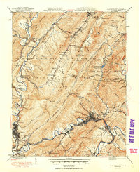
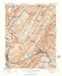 1945 Clifton Forge1963 Print · USGSCovers Sheep Meadow, including Covington, Clifton Forge, and other nearby areas2 unique versions available
 - 1947 Map of Roanoke, 1948 Print
 1947 Roanoke1948 Print · USGSCovers Sheep Meadow, including Roanoke, Lynchburg, and other nearby areas2 unique versions available
 - 1949 Map of Clifton Forge
 1949 Clifton Forge1949 Print · USGSCovers Sheep Meadow, including Covington, Clifton Forge, and other nearby areas3 unique versions available
 - 1959 Map of Roanoke
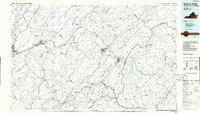
 1959 Roanoke1959 Print · USGSCovers Sheep Meadow, including Roanoke, Lynchburg, and other nearby areas
 - 1963 Map of Roanoke
 1963 Roanoke1963 Print · USGSCovers Sheep Meadow, including Roanoke, Lynchburg, and other nearby areas
 - 1966 Map of Healing Springs, 1967 Print
 1966 Healing Springs1967 Print · USGSCovers Sheep Meadow, including Hot Springs, Ashwood, and other nearby areas2 unique versions available
 - 1971 Map of Roanoke, 1977 Print
 1971 Roanoke1977 Print · USGSCovers Sheep Meadow, including Roanoke, Lynchburg, and other nearby areas2 unique versions available
 - 1986 Map of Buena Vista
 1986 Buena Vista1986 Print · USGSCovers Sheep Meadow, including Lexington, Buena Vista, and other nearby areas2 unique versions available
End of results
Showing maps 1-11 of 11
Frequently asked questions
- What are the different types of historical maps available for Sheep Meadow?
- What is the oldest map of Sheep Meadow?
- Where can I purchase historical maps of Sheep Meadow for my home or office?
- Where can I download high-res historical maps of Sheep Meadow?
- Are there historical topographic maps available for Sheep Meadow?
- Is there historical aerial imagery available for Sheep Meadow?
- Where are historical maps of Sheep Meadow sourced from?