Old Maps of Woods Corner, Virginia for Genealogy
Trace your family roots with 13 historic maps of Woods Corner. These high-res maps reveal old neighborhoods, homesites, landmarks, and streets — helping you uncover where your ancestors lived and how the area evolved over time.
- Explore historic neighborhoods: Identify where your relatives may have lived in the 1800s or 1900s.
- Compare maps over time: Trace the changes in streets, buildings, and landmarks for multi-generational research.
- Perfect for genealogy & ancestry research: Used by family historians and researchers to map out lineage and migration.
These maps are an incredible resource for exploring your personal connection to Woods Corner's past.
Woods Corner, VA maps
(13)- 1892 Map of Buckingham
 1892 Buckingham1892 Print · USGSCentral Virginia in the late nineteenth century was defined by its river-and-rail economy along the James River. Genealogists and historians can trace the foundations of local life through the Kleinburg School, the Soap Stone Quarry, and the Virginia Midland Railroad.7 unique versions available
 - 1947 Map of Roanoke, 1948 Print
 1947 Roanoke1948 Print · USGSCentral Virginia in the late 1940s reveals a region defined by its great mountain ridges and the powerful river-and-rail economy connecting Roanoke to Lynchburg. Researchers can trace the path of the Virginian RR and locate historic county seats like Charlotte Court House.2 unique versions available
 - 1959 Map of Roanoke
 1959 Roanoke1959 Print · USGSCentral Virginia and the Blue Ridge appear in great detail during the late fifties, showcasing the transition from mountain industry to Piedmont farmland. Trace the path of the Norfolk and Western railroad or find old river towns like Appomattox and Amelia Court House.
 - 1961 Map of Buckingham, 1963 Print
 1961 Buckingham1963 Print · USGSBuckingham County and the James River corridor are captured here in the early sixties as rural life centered on the river and rail. Genealogists can trace family roots through numerous country landmarks like Liberty Hall Cem, Midway Mills, and St Joy Sch.
 - 1963 Map of Roanoke
 1963 Roanoke1963 Print · USGSCentral Virginia and the Blue Ridge front appear here in the early sixties, caught between their deep railroad roots and new postwar developments. Genealogists and historians can trace the rail lines of the Norfolk and Western through towns like Bedford and Altavista, or locate family landmarks near Smith Mountain Lake.
 - 1968 Map of Saint Joy, 1971 Print
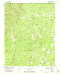 1968 Saint Joy1971 Print · USGSIn the Piedmont of central Virginia during the late sixties, rural life was centered on crossroads hamlets and community churches. Genealogists can trace family footprints at Saint Joy, Woods Corner, and several historic sites like Mount Tabor Ch and Union Grove Ch.2 unique versions available
 - 1971 Map of Roanoke, 1977 Print
 1971 Roanoke1977 Print · USGSThe Virginia Piedmont and Blue Ridge mountains meet in this early 1970s landscape of river valleys and rail hubs. Researchers can trace historic transportation routes and landmarks like the Appomattox Court House Nat Hist Pk, the Peaks of Otter, and Amelia Court House.2 unique versions available
 - 1979 Map of Dillwyn, 1982 Print
 1979 Dillwyn1982 Print · USGSCentral Virginia in the late seventies is defined by the winding James River and the rural communities of the Piedmont. Trace old transportation corridors and family-named ridges from Dillwyn and Buckingham to the Blue Ridge foothills.
 - 2010 Map of Saint Joy, 2010 Print
 2010 Saint Joy2010 Print · USGSSaint Joy and Buckingham County appear here in the early 21st century, showing a landscape defined by rural crossroads and winding creek beds. Researchers can locate Saint Joy Cemetery or trace the many branches of Walton Fork and Mathews Creek.
 - 2013 Map of Saint Joy, 2013 Print
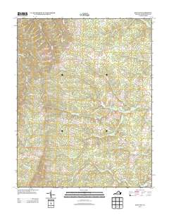 2013 Saint Joy2013 Print · USGSBuckingham County's rural character is on full display in the early 2010s, showing a landscape defined by traditional crossroads and winding creek beds. Genealogists and local historians can trace family land near Saint Joy or follow the paths of Shelton Store Rd and Sawmill Cr.
 - 2016 Map of Saint Joy, 2016 Print
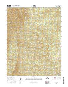 2016 Saint Joy2016 Print · USGSBuckingham County's rural character is preserved in this mid-2010s survey, showing the land just as modern development began to subtly shift. Genealogists and local historians can trace family locations near Saint Joy Cem or follow the paths of Brick Kiln Br and Sawmill Cr.
 - 2019 Map of Saint Joy, 2019 Print
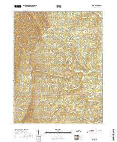 2019 Saint Joy2019 Print · USGSBuckingham County's rural landscape is preserved here as it appeared in the late twenty-teens, centered on the community of Saint Joy. Genealogists and local historians can trace family ties through Saint Joy Cem and follow old routes like Texas School Rd and Warminster Church Rd.
 - 2022 Map of Saint Joy, 2022 Print
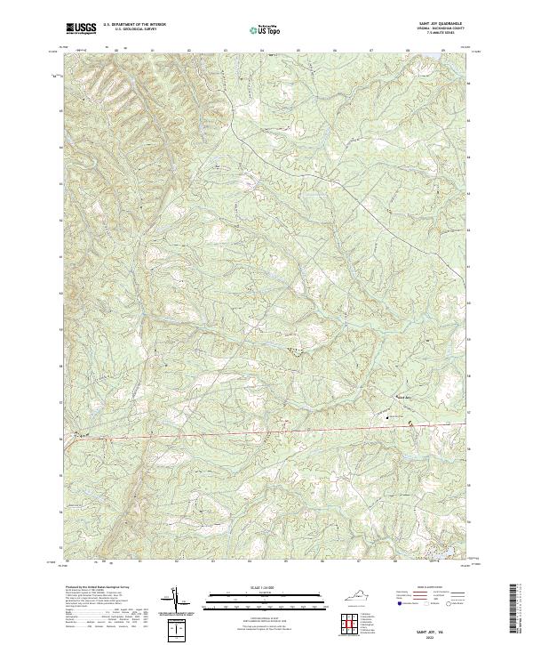 2022 Saint Joy2022 Print · USGSBuckingham County's rural landscape comes into focus in this recent survey of the area around Saint Joy. Genealogists and local historians can locate Saint Joy Cem and trace old community roads like Texas School Rd and Warminster Church Rd.
End of results
Showing maps 1-13 of 13
Top cities near Woods Corner
- Appomattox historical maps
- Lovingston historical maps
- Scottsville historical maps
- Shipman historical maps
- Dillwyn historical maps
Frequently asked questions
- What are the different types of historical maps available for Woods Corner?
- What is the oldest map of Woods Corner?
- Where can I purchase historical maps of Woods Corner for my home or office?
- Where can I download high-res historical maps of Woods Corner?
- Are there historical topographic maps available for Woods Corner?
- Is there historical aerial imagery available for Woods Corner?
- Where are historical maps of Woods Corner sourced from?