2000s (21st Century) Maps of Seminole Ridge, Altavista
Explore 10 historic maps of Seminole Ridge from the 2000s (21st Century). These maps offer a rare glimpse into what life looked like during the 2000s — showing old roads, neighborhoods, homes, and landmarks that have changed or disappeared over time.
Whether you're researching your family's past, planning a metal detecting trip, or studying how Seminole Ridge's landscape evolved across the 2000s, these high-resolution maps are a powerful tool for exploring the history of this region.
- Focus on a specific era: All maps on this page are from the 2000s, giving you a focused view of this time period.
- See what’s changed: Compare century-old streets, trails, and buildings to today's modern landscape using overlays and satellite layers.
- Research with precision: Use these maps for genealogy, historical research, land use analysis, or educational projects.
- View, download, or print: Maps are fully viewable online in high resolution, and can be downloaded or printed for your own records.
Start exploring Seminole Ridge's history through authentic maps from the 2000s. This is your window into the past.
Seminole Ridge, Altavista maps
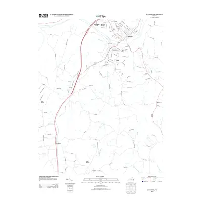
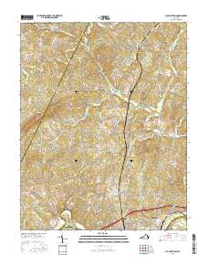
(10)- 2010 Map of Lynch Station, 2010 Print
 2010 Lynch Station2010 Print · USGSCovers Seminole Ridge, including Altavista, Evington, and other nearby areas
 - 2010 Map of Altavista, 2010 Print
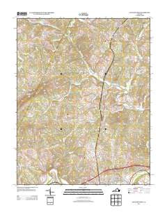
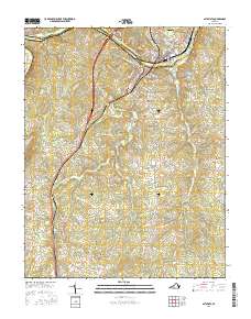
 2010 Altavista2010 Print · USGSCovers Seminole Ridge, including Altavista, Hurt, and other nearby areas
 - 2013 Map of Altavista, 2013 Print
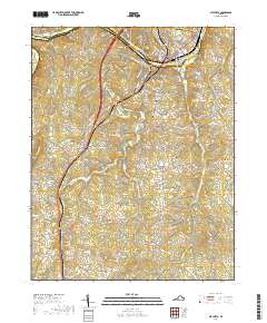
 2013 Altavista2013 Print · USGSCovers Seminole Ridge, including Altavista, Hurt, and other nearby areas
 - 2013 Map of Lynch Station, 2013 Print
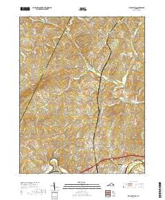
 2013 Lynch Station2013 Print · USGSCovers Seminole Ridge, including Altavista, Evington, and other nearby areas
 - 2016 Map of Altavista, 2016 Print
 2016 Altavista2016 Print · USGSCovers Seminole Ridge, including Altavista, Hurt, and other nearby areas
 - 2016 Map of Lynch Station, 2016 Print
 2016 Lynch Station2016 Print · USGSCovers Seminole Ridge, including Altavista, Evington, and other nearby areas
 - 2019 Map of Altavista, 2019 Print
 2019 Altavista2019 Print · USGSCovers Seminole Ridge, including Altavista, Hurt, and other nearby areas
 - 2019 Map of Lynch Station, 2019 Print
 2019 Lynch Station2019 Print · USGSCovers Seminole Ridge, including Altavista, Evington, and other nearby areas
 - 2022 Map of Lynch Station, 2022 Print
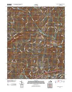
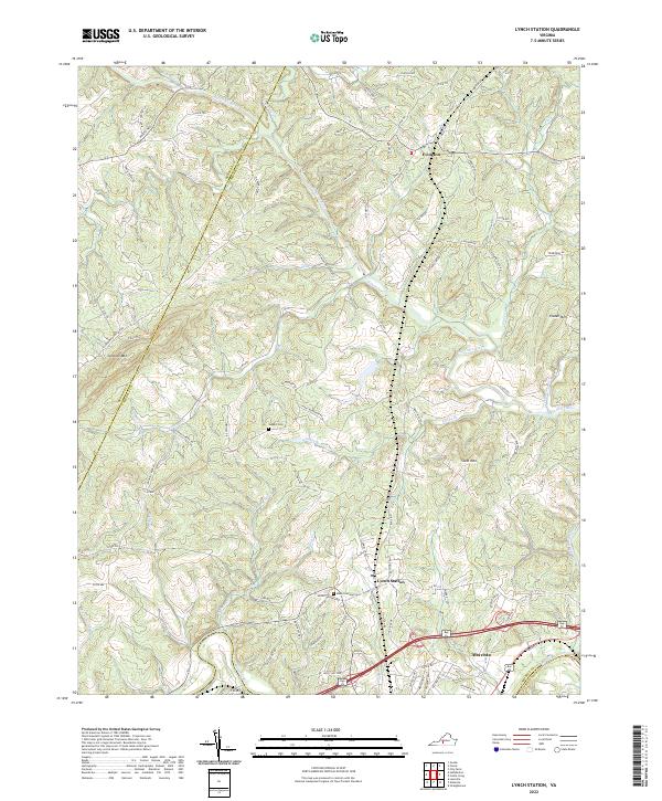 2022 Lynch Station2022 Print · USGSCampbell County and the surrounding Piedmont region are documented here in the early twenty-first century, showing the established communities of Lynch Station and Evington. Researchers can trace local lineage through sites like Mount Hermon Cem or follow the historic drainage of the Big Otter River.
 - 2022 Map of Altavista, 2022 Print
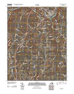
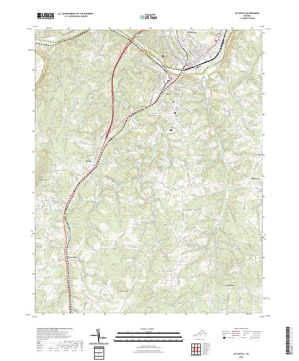 2022 Altavista2022 Print · USGSThe Roanoke River valley at the border of Campbell and Pittsylvania counties is shown here in the early 2020s. Researchers can trace the layout of Altavista and Hurt, locate rural landmarks like Jasper Mountain, and find family sites at Green Hill Cemetery.
End of results
Showing maps 1-10 of 10
Frequently asked questions
- What are the different types of historical maps available for Seminole Ridge?
- What is the oldest map of Seminole Ridge?
- Where can I purchase historical maps of Seminole Ridge for my home or office?
- Where can I download high-res historical maps of Seminole Ridge?
- Are there historical topographic maps available for Seminole Ridge?
- Is there historical aerial imagery available for Seminole Ridge?
- Where are historical maps of Seminole Ridge sourced from?